Summary
This section of the river spans 6.5 miles, starting at the State Route 72 Bridge and ending at the confluence with the Clinch River.
The ideal streamflow range for this river is between 350 and 700 cubic feet per second (cfs). When the river is flowing within this range, it provides a thrilling and challenging experience for paddlers, but it can become dangerous when the water levels are too high or too low.
This section of the river is rated as a Class III to Class IV, which means it has moderate to difficult rapids with obstacles such as rocks, waves, and hydraulics. Some of the specific rapids and obstacles on the Whitewater River Run include Moonshine, Splat Rock, and the Notch.
To ensure the safety of all paddlers, there are specific regulations in place for this section of the river. All paddlers are required to wear a personal flotation device (PFD) and a helmet at all times while on the river. Additionally, motorized boats are not allowed on this section of the river.
In conclusion, the Whitewater River Run is a thrilling and challenging section of the river for experienced paddlers. The ideal streamflow range is between 350 and 700 cfs, it is rated as a Class III to Class IV, and spans 6.5 miles. Paddlers must follow specific regulations and wear proper safety gear when navigating this section of the river.
°F
°F
mph
Wind
%
Humidity
15-Day Weather Outlook
River Run Details
| Last Updated | 2022-11-07 |
| River Levels | 20 cfs (1.93 ft) |
| Percent of Normal | 18% |
| Status | |
| Class Level | iii-iv |
| Elevation | ft |
| Streamflow Discharge | cfs |
| Gauge Height | ft |
| Reporting Streamgage | USGS 03524500 |
5-Day Hourly Forecast Detail
Nearby Streamflow Levels
 Guest River At Coeburn
|
20cfs |
 Cranes Nest River Near Clintwood
|
132cfs |
 Clinch River At Cleveland
|
2150cfs |
 Powell River At Big Stone Gap
|
240cfs |
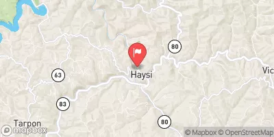 Russell Fork At Haysi
|
467cfs |
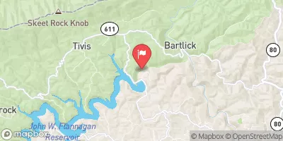 Pound River Below Flannagan Dam Near Haysi
|
26cfs |
Area Campgrounds
| Location | Reservations | Toilets |
|---|---|---|
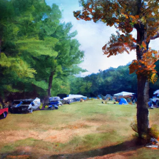 Bark Camp Recreation Area Campground
|
||
 Bark Camp
|
||
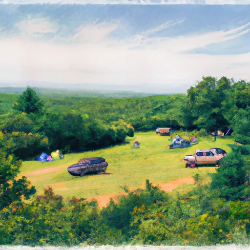 High Knob Recreation Area
|
||
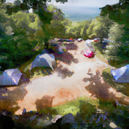 High Knob
|
||
 Flag Rock Recreation Area
|


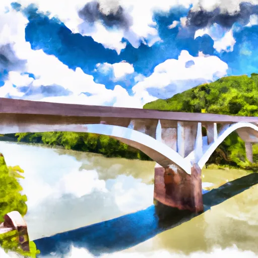 State Route 72 Bridge To Confluence With Clinch River
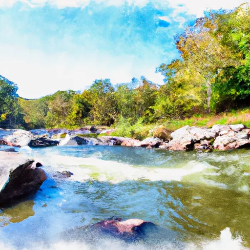 Confluence With Guest River To Confluence With Little Stony Creek
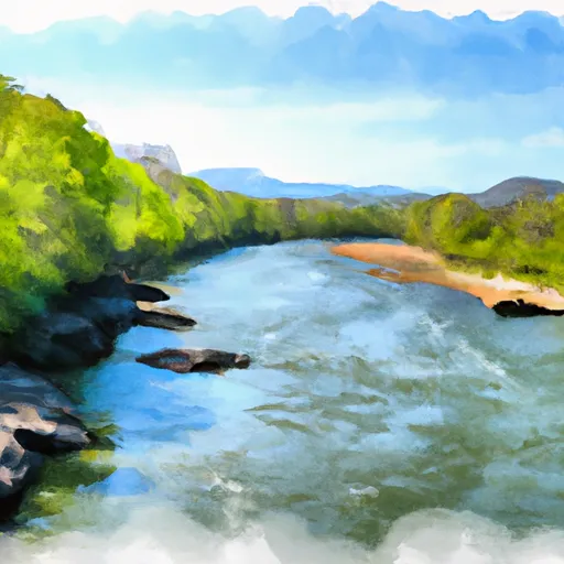 Fs Route 700 To Confluence With Clinch River