Summary
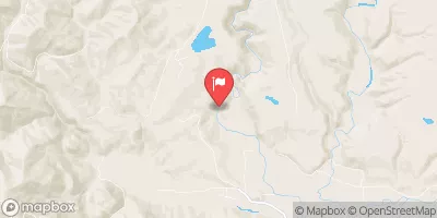
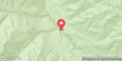
The river is divided into three sections for kayaking and rafting adventures. The upper section of the river known as the headwaters is ideal for kayaking with a streamflow range of 200 to 500 cfs and is rated as a class III-V. The headwaters segment has a distance of 8 miles and features a series of rapids and obstacles that require expert navigation skills.
The middle section of the river is suitable for both kayaking and rafting with a streamflow range of 500 to 1500 cfs. This segment is rated as a class III-IV and covers a distance of 7 miles. The middle section features rapids and obstacles such as the "Wallace Falls" and "Meatgrinder". Finally, the lower section of the river is ideal for family trips with a streamflow range of 1000 to 3000 cfs. This section is rated as a class II-III and covers a distance of 5 miles. The lower section features rapids and obstacles such as "The Slot" and "Rooster Tail".
The regulations for the Whitewater River run include the requirement of wearing personal floatation devices at all times and carrying a first aid kit. It is also important to be aware of the private property along the river and to respect the landowners' rights. The river is open from May to September, and camping is allowed at designated sites. Overall, the Whitewater River run is a challenging and exciting adventure for kayakers and rafters, and it is important to be prepared and follow the regulations to ensure a safe and enjoyable experience.
°F
°F
mph
Wind
%
Humidity
15-Day Weather Outlook
River Run Details
| Last Updated | 2026-02-16 |
| River Levels | 553 cfs (3.94 ft) |
| Percent of Normal | 74% |
| Status | |
| Class Level | iii-v |
| Elevation | ft |
| Run Length | 48.0 Mi |
| Streamflow Discharge | cfs |
| Gauge Height | ft |
| Reporting Streamgage | USGS 12056500 |
5-Day Hourly Forecast Detail
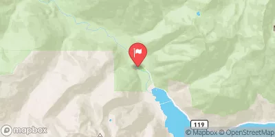
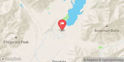
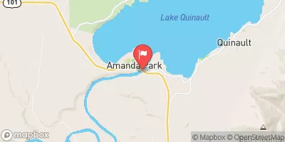
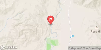
Nearby Streamflow Levels
Area Campgrounds
| Location | Reservations | Toilets |
|---|---|---|
 Pony Bridge Camp
|
||
 O'Neil Creek Camp
|
||
 Graves Creek Campground
|
||
 Success Creek
|
||
 Pyrites Creek Camp
|
||
 Lake Sundown
|
River Runs
-
 Headwaters And Includes All Tributaries To Confluence With North Fork Quinault River
-
 Headwaters And Includes All Tributaries Upstream From Graves Creek Road And Confluence With Graves Creek To Confluence With Quinault River
-
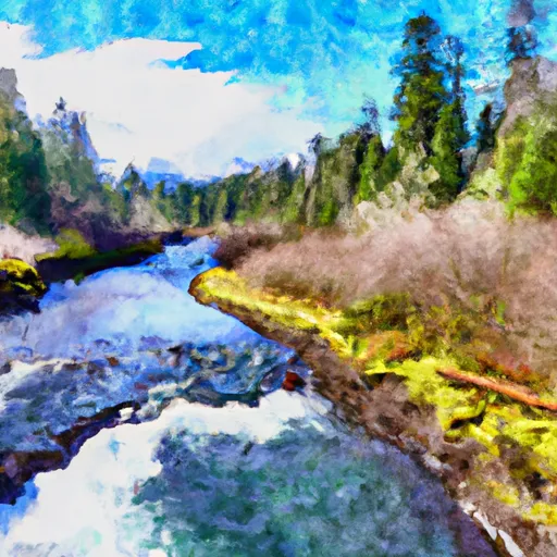 Headwaters And Includes All Tributaries To Confluence With Quinault River
-
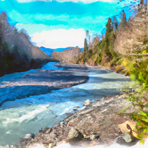 End Of Graves Creek Road And Confluence With Graves Creek To Western Boundary Of Olympic National Park


