Downstream Waters Of Ozette Lake To Mouth At Pacific Ocean And Does Not Include Portion Within Ozette Indian Reservation (Rm 0.7 To Rm Paddle Report
Last Updated: 2026-02-11
The Whitewater River run is a 12-mile stretch of river that flows from the downstream waters of Ozette Lake to the mouth at the Pacific Ocean in Washington state.
Summary
The ideal streamflow range for this run is between 800 and 2,500 cubic feet per second (cfs), which typically occurs during the spring runoff season.
The Whitewater River run is rated as a Class III-IV, which means it is suitable for intermediate to advanced paddlers. The segment mileage for this run is approximately 12 miles, and it features several challenging rapids and obstacles, including Devil's Punchbowl, Meat Grinder, and Triple Falls.
Specific regulations for the area include a permit requirement for anyone launching from the Ozette Indian Reservation and a prohibition on camping within 200 feet of the river. Additionally, all boaters are required to wear personal flotation devices (PFDs) and carry a whistle for signaling in case of emergency.
Sources:
- American Whitewater: Whitewater River - Ozette Lake to Pacific Ocean
- Northwest Rafting Company: Whitewater River
- Washington State Department of Natural Resources: Whitewater River Recreation Site
°F
°F
mph
Wind
%
Humidity
15-Day Weather Outlook
River Run Details
| Last Updated | 2026-02-11 |
| River Levels | 12 cfs (4.71 ft) |
| Percent of Normal | 138% |
| Status | |
| Class Level | iii-iv |
| Elevation | ft |
| Run Length | 5.0 Mi |
| Streamflow Discharge | cfs |
| Gauge Height | ft |
| Reporting Streamgage | USGS 12043163 |
5-Day Hourly Forecast Detail
Nearby Streamflow Levels
 Sooes River Below Miller Creek Near Ozette
|
216cfs |
 Hoko River Near Sekiu
|
369cfs |
 Calawah River Near Forks
|
1110cfs |
 Hoh River At Us Highway 101 Near Forks
|
2370cfs |
 Queets River Near Clearwater
|
3740cfs |
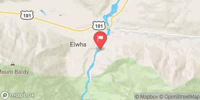 Elwha River At Mcdonald Br Near Port Angeles
|
1680cfs |
Area Campgrounds
| Location | Reservations | Toilets |
|---|---|---|
 Ozette - Olympic National Park
|
||
 Ozette
|
||
 Sand Point Campground
|
||
 Cape Alava Campground
|
||
 Norwegian Memorial
|


 Seafield Road, Clallam Bay
 Downstream Waters Of Ozette Lake To Mouth At Pacific Ocean And Does Not Include Portion Within Ozette Indian Reservation (Rm 0.7 To Rm