Summary
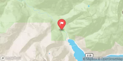
Ideal streamflow ranges for this river range from 800 to 3000 cfs, with the best conditions typically occurring in the spring months. The river is classified as Class III-IV, with some sections reaching Class V during high water periods. The segment mileage of the river run is approximately 16 miles, starting at the headwaters at about 6000 ft. in basins on the north side of Gray Wolf Pass and including all tributaries within the park to the eastern boundary of Olympic National Forest.
The Whitewater River Run features a variety of rapids and obstacles, including Boulder Drop, S-Turn, and the infamous Jaws rapid. There are also several waterfalls and narrow chutes that add to the excitement of the run. It is important to note that the river is subject to changing conditions, and that hazards may vary depending on water levels and other factors.
Specific regulations apply to the Whitewater River Run, including requirements for personal flotation devices and other safety equipment. It is also important to obtain any necessary permits or permissions before embarking on a trip down the river. Overall, the Whitewater River Run offers a challenging and thrilling experience for experienced paddlers, but should be approached with caution and respect for the power of the river.
°F
°F
mph
Wind
%
Humidity
15-Day Weather Outlook
River Run Details
| Last Updated | 2026-02-16 |
| River Levels | 551 cfs (3.78 ft) |
| Percent of Normal | 87% |
| Status | |
| Class Level | iii-iv |
| Elevation | ft |
| Run Length | 35.0 Mi |
| Streamflow Discharge | cfs |
| Gauge Height | ft |
| Reporting Streamgage | USGS 12048000 |
5-Day Hourly Forecast Detail
Nearby Streamflow Levels
Area Campgrounds
| Location | Reservations | Toilets |
|---|---|---|
 Camp Handy
|
||
 Camp Mystery
|
||
 Dose Forks
|
||
 Big Timber
|
||
 Dosewallips Campground
|
||
 Dosewallips
|
River Runs
-
 Headwaters At About 6000 Ft. In Basins On The North Side Of Gray Wolf Pass And Includes All Tributaries Within The Park To Eastern Boundary Of Olympic National Forest
-
 Headwaters- Includes All Tributaries To Confluence With Dosewallips River
-
 Headwaters At 5700 Ft In The Royal Basin And Includes All Tributaries Within The Park To Eastern Boundary Of Olympic National Forest
-
 Headwaters To Confluence With Gray Wolf River


