Summary
The ideal streamflow range for this river is between 800 and 2500 cfs. This level provides enough water to navigate the river safely while still offering rapids that are exciting and challenging.
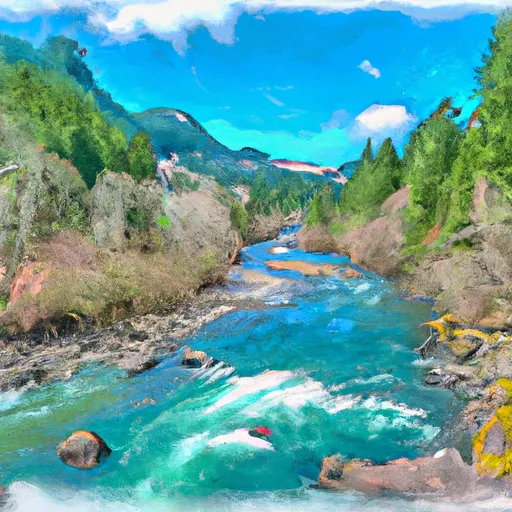
The Whitewater River is rated as Class IV-V+ in difficulty. This rating indicates that the river features complex rapids, high waves, and strong currents that require advanced paddling skills and experience to navigate safely. The total segment mileage of the river run is approximately 17 miles, and it includes all tributaries to the confluence with the Bogachiel River.
Some of the specific rapids and obstacles to watch out for on the Whitewater River include the Meatgrinder, the Boulder Garden, and the Chutes. These rapids are known for their steep drops, large waves, and swirling eddies, making them some of the most challenging sections of the river.
To maintain safety in the area, there are specific regulations that kayakers and rafters must follow. These include wearing a personal flotation device at all times, carrying appropriate safety equipment, and following Leave No Trace principles to protect the natural environment.
Overall, the Whitewater River run in Washington State is a challenging and exhilarating adventure that requires advanced paddling skills, experience, and careful attention to safety regulations.
°F
°F
mph
Wind
%
Humidity
15-Day Weather Outlook
River Run Details
| Last Updated | 2026-02-16 |
| River Levels | 1890 cfs (3.17 ft) |
| Percent of Normal | 63% |
| Status | |
| Class Level | iv-v+ |
| Elevation | ft |
| Run Length | 5.0 Mi |
| Streamflow Discharge | cfs |
| Gauge Height | ft |
| Reporting Streamgage | USGS 12041200 |
5-Day Hourly Forecast Detail
Nearby Streamflow Levels
 Hoh River At Us Highway 101 Near Forks
|
1690cfs |
 Calawah River Near Forks
|
913cfs |
 Queets River Near Clearwater
|
2990cfs |
 Elwha River Above Lake Mills Nr Port Angeles
|
725cfs |
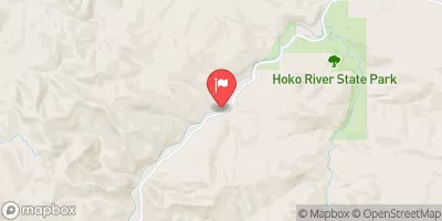 Hoko River Near Sekiu
|
279cfs |
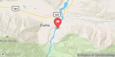 Elwha River At Mcdonald Br Near Port Angeles
|
1270cfs |
Area Campgrounds
| Location | Reservations | Toilets |
|---|---|---|
 Minnie Peterson Campground
|
||
 Minnie Peterson
|
||
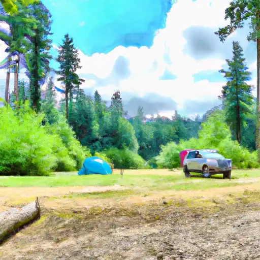 Minnie Peterson- State Forest
|
||
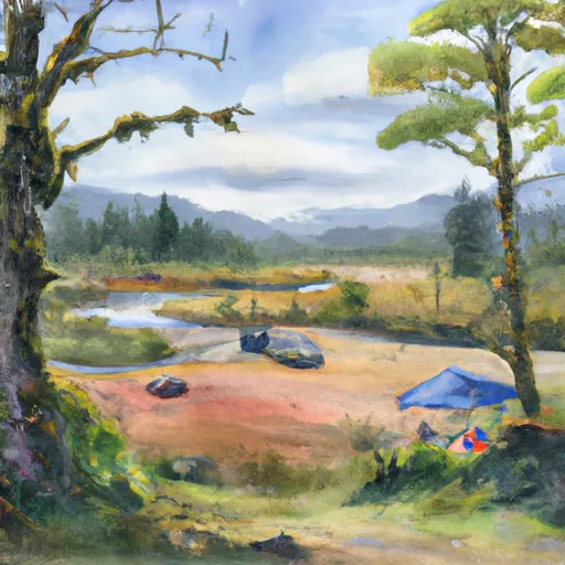 Hoh River Trust
|
||
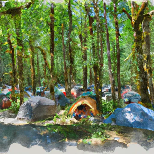 Hoh Ox Bow Campground
|
||
 Hoh Oxbow- State Forest
|


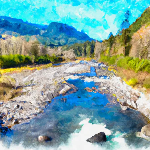 Headwaters And Includes All Tributaries To Confluence With Bogachiel River
 Headwaters And Includes All Tributaries To Confluence With South Fork Calawah River