Summary
The ideal streamflow range for this run is between 800 and 3,000 cubic feet per second (cfs). The river is rated as Class III-IV, which means it is a moderately difficult run with moderate to high waves and rapids.
The run includes the headwaters and all tributaries to the confluence with Brush Creek, covering a distance of approximately 10 miles. The river has several rapids and obstacles that make the run challenging and thrilling. Some of the specific rapids and obstacles include Big Eddy, the S-Turn, the Notch, and Boulder Drop.
It is essential to follow specific regulations while on the river. The use of personal flotation devices (PFDs) is mandatory for all participants. Additionally, kayakers and rafters must adhere to Leave No Trace principles, which means they must pack out all trash and waste. The use of alcohol and drugs is strictly prohibited while on the river.
In conclusion, the Whitewater River run in Washington is a thrilling adventure for experienced kayakers and rafters. With an ideal streamflow range of 800-3,000 cfs, a Class III-IV rating, a distance of 10 miles, and several rapids and obstacles, this run is sure to provide an exhilarating experience. It is essential to follow all regulations while on the river and adhere to Leave No Trace principles to preserve the natural beauty of the area.
°F
°F
mph
Wind
%
Humidity
15-Day Weather Outlook
River Run Details
| Last Updated | 2026-02-16 |
| River Levels | 1890 cfs (3.17 ft) |
| Percent of Normal | 63% |
| Status | |
| Class Level | iii-iv |
| Elevation | ft |
| Run Length | 9.0 Mi |
| Streamflow Discharge | cfs |
| Gauge Height | ft |
| Reporting Streamgage | USGS 12041200 |
5-Day Hourly Forecast Detail
Nearby Streamflow Levels
Area Campgrounds
| Location | Reservations | Toilets |
|---|---|---|
 Hoh Rain Forest
|
||
 Hoh River Trust
|
||
 Mount Tom Creek Campsites
|
||
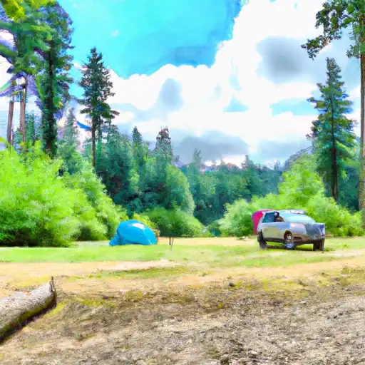 Minnie Peterson- State Forest
|
||
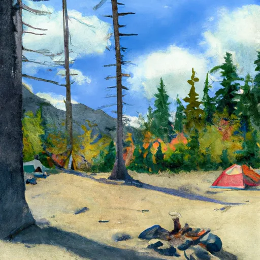 Minnie Peterson
|
||
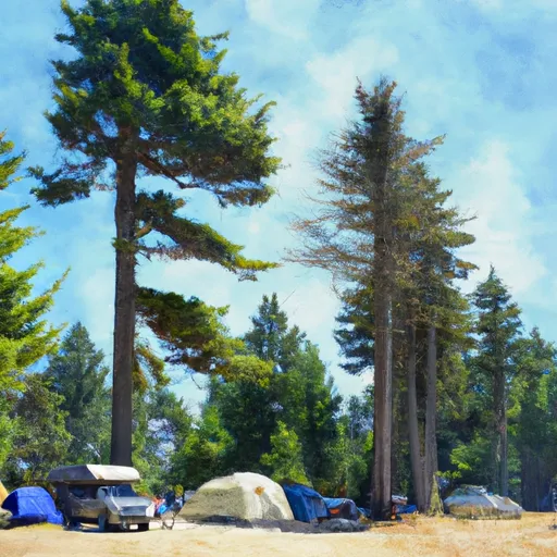 Minnie Peterson Campground
|






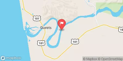

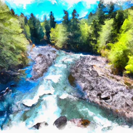 Headwaters And Includes All Tributaries To Confluence With Brush Creek
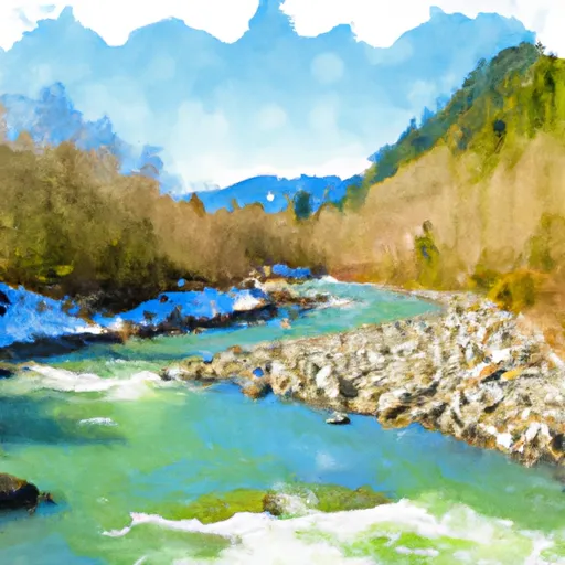 Headwaters And Includes All Tributaries To Confluence With Bogachiel River
 Headwaters And Includes All Tributaries To Confluence With Hoh River
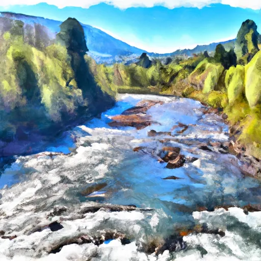 Headwaters And Includes All Tributaries To Confluence With Twin Creek