Summary
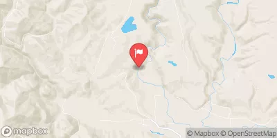
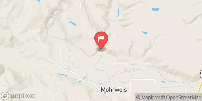
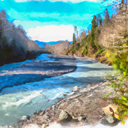
The Whitewater River run is a challenging 16-mile stretch of river that begins at the headwaters and includes all tributaries upstream from North Fork Quinault Road to the confluence with North Fork Quinault River in Washington State. The ideal streamflow range for the Whitewater River run is between 600 and 1200 cubic feet per second (cfs) during the spring and early summer months.
The Whitewater River run is rated as a Class IV-V river, which means that it is only suitable for experienced whitewater paddlers who are comfortable with navigating complex, technical rapids and obstacles. Some of the specific rapids and obstacles on this stretch of river include the North Fork Gorge, a narrow, steep-walled canyon with powerful rapids and large boulders, and the Upper and Lower Falls, two massive drops that require precise maneuvering.
There are specific regulations in place for the Whitewater River run. Paddlers are required to obtain a permit from Olympic National Park before accessing the river, and are required to follow all state and federal rules and regulations regarding boating safety and environmental protection. Additionally, paddlers should be prepared for rugged terrain and limited access points, as the river runs through a remote and challenging wilderness area.
°F
°F
mph
Wind
%
Humidity
15-Day Weather Outlook
River Run Details
| Last Updated | 2026-02-07 |
| River Levels | 210 cfs (1.3 ft) |
| Percent of Normal | 105% |
| Status | |
| Class Level | iv-v |
| Elevation | ft |
| Run Length | 51.0 Mi |
| Streamflow Discharge | cfs |
| Gauge Height | ft |
| Reporting Streamgage | USGS 12035400 |
5-Day Hourly Forecast Detail
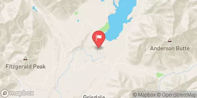
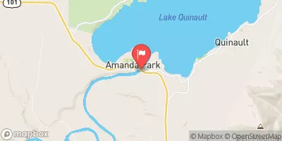
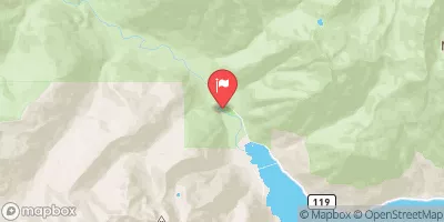
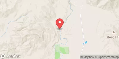
Nearby Streamflow Levels
Area Campgrounds
| Location | Reservations | Toilets |
|---|---|---|
 Graves Creek Campground
|
||
 Pony Bridge Camp
|
||
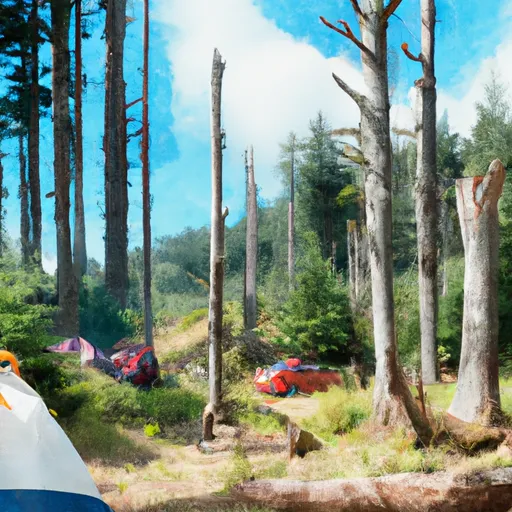 Success Creek
|
||
 Lake Sundown
|
||
 Campbell Tree Grove
|
||
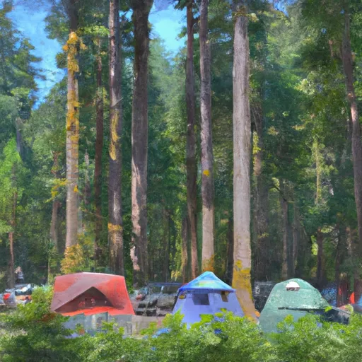 Campbell Tree Grove Campground
|
River Runs
-
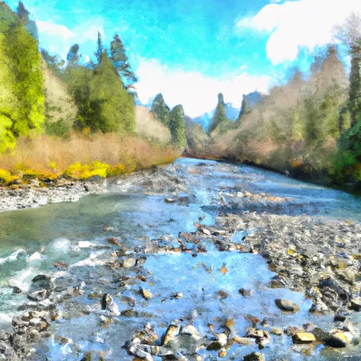 Headwaters And Includes All Tributaries Upstream From North Fork Quinault Road To Confluence With North Fork Quinault River
-
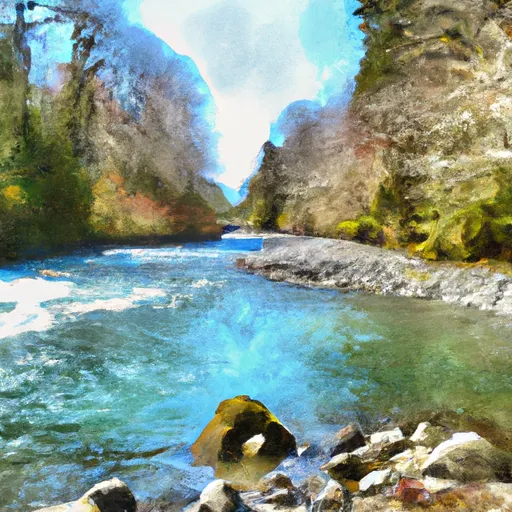 End Of North Fork Quinault Road To Confluence With The Main Branch Quinault River
-
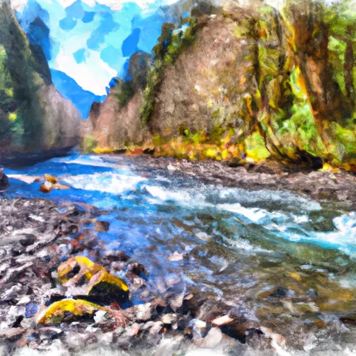 Headwaters And Includes All Tributaries To Confluence With North Fork Quinault River
-
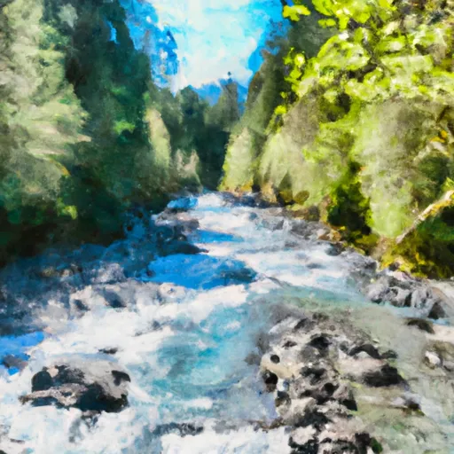 Headwaters And Includes All Tributaries Downstream From The End Of Graves Creek Road And Confluence With Graves Creek To Western Boundary Of Olympic National Park
-
 End Of Graves Creek Road And Confluence With Graves Creek To Western Boundary Of Olympic National Park


