Summary
The ideal streamflow range for this river is between 1,500 and 7,000 cfs, which can be affected by snowmelt and rainfall. The class rating for this river ranges from Class III to Class V, depending on the segment of the river. The initial segment of the run is considered Class III, with rapids such as "Punch Bowl" and "Kamikaze." As the river progresses, it becomes more difficult, with Class IV and V rapids like "The Hammer" and "The S-Turns."
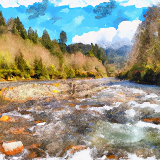
The Whitewater River Run spans 18 miles, from its headwaters to its confluence with Queets River. The specific rapids and obstacles along the river vary by segment, with some areas featuring narrow chutes and steep drops. Overall, the river is known for its technical rapids and challenging obstacles, making it a popular destination for experienced kayakers and rafters.
There are specific regulations to the area that visitors must follow. For example, there are restrictions on camping and fires, and visitors are required to pack out all their trash. Additionally, permits are required for overnight stays in the Olympic National Park, which includes the Whitewater River Run. Visitors should also be aware of the potential hazards of the river, such as strong currents and underwater obstacles.
In summary, the Whitewater River Run in Washington offers an exhilarating adventure for experienced kayakers and rafters. With a range of Class III to V rapids, technical obstacles, and an ideal streamflow range between 1,500 to 7,000 cfs, this 18-mile stretch of river is a popular destination for those seeking a thrilling outdoor experience. It is important to follow specific regulations and safety protocols to ensure a safe and enjoyable trip.
°F
°F
mph
Wind
%
Humidity
15-Day Weather Outlook
River Run Details
| Last Updated | 2026-02-07 |
| River Levels | 1830 cfs (3.82 ft) |
| Percent of Normal | 95% |
| Status | |
| Class Level | iii-v |
| Elevation | ft |
| Run Length | 4.0 Mi |
| Streamflow Discharge | cfs |
| Gauge Height | ft |
| Reporting Streamgage | USGS 12039500 |
5-Day Hourly Forecast Detail
Nearby Streamflow Levels
Area Campgrounds
| Location | Reservations | Toilets |
|---|---|---|
 Graves Creek Campground
|
||
 Pony Bridge Camp
|
||
 Elk Lake Campground
|
||
 O'Neil Creek Camp
|


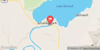
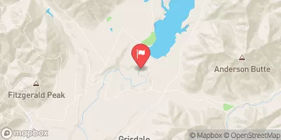
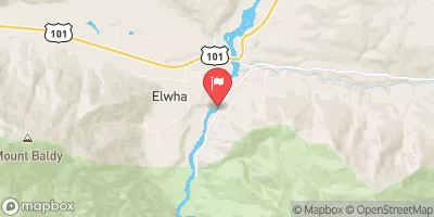
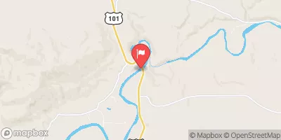
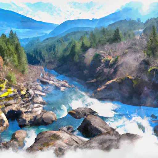 Headwaters And Includes All Tributaries To Confluence With Queets River
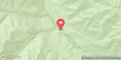
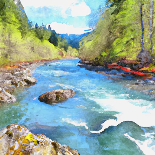 Headwaters And Includes All Tributaries To Confluence With Main Branch Kimta Creek
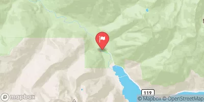
 Headwaters And Includes All Tributaries To Confluence With North Fork Quinault River