Summary
The ideal streamflow range for this run is between 300 and 1000 cfs, although experienced paddlers may tackle it at higher levels. The class rating for this section of the river is primarily class III-IV, with some sections reaching class V during peak flow.
The segment mileage for the Whitewater River run from the Pasayten Wilderness Boundary to the confluence with the Methow River is approximately 8 miles. During this stretch, paddlers will encounter challenging rapids such as Pinball, Elbow Room, and Hell's Kitchen.
In terms of regulations, the Pasayten Wilderness area is a designated wilderness area, which means that visitors should adhere to Leave No Trace principles. Additionally, all visitors are required to obtain a Wilderness Permit prior to entering the area. Overall, the Whitewater River run is a thrilling and challenging adventure that requires technical paddling skills and a respect for the natural environment.
°F
°F
mph
Wind
%
Humidity
15-Day Weather Outlook
River Run Details
| Last Updated | 2026-02-07 |
| River Levels | 941 cfs (15.36 ft) |
| Percent of Normal | 158% |
| Status | |
| Class Level | iii-iv |
| Elevation | ft |
| Streamflow Discharge | cfs |
| Gauge Height | ft |
| Reporting Streamgage | USGS 12447383 |
5-Day Hourly Forecast Detail
Nearby Streamflow Levels
 Methow River Above Goat Creek Near Mazama
|
238cfs |
 Chewuch River At Winthrop
|
184cfs |
 Methow River At Winthrop
|
632cfs |
 Andrews Creek Near Mazama
|
7cfs |
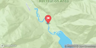 Stehekin River At Stehekin
|
531cfs |
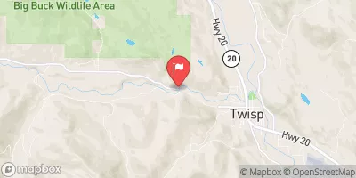 Twisp River Near Twisp
|
248cfs |
Area Campgrounds
| Location | Reservations | Toilets |
|---|---|---|
 Ballard Campground
|
||
 Ballard
|
||
 River Bend
|
||
 Klipchuck
|
||
 Klipchuck Campground
|
||
 Early Winters
|
River Runs
-
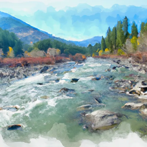 Pasayten Wilderness Boundary To Confluence With Methow River
-
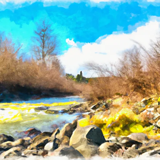 Confluence With Brush Creek To Private Land Boundary Near Lost River In Nw1/4 Of Sec 5, T36N, R19E
-
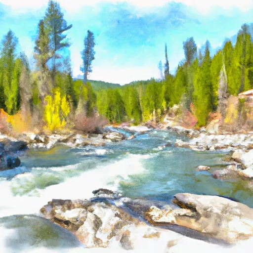 Confluence With Rampart Creek To Pasayten Wilderness Boundary
-
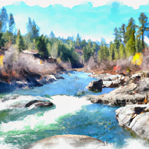 Private Land Boundary To Okanogan Nf Boundary
-
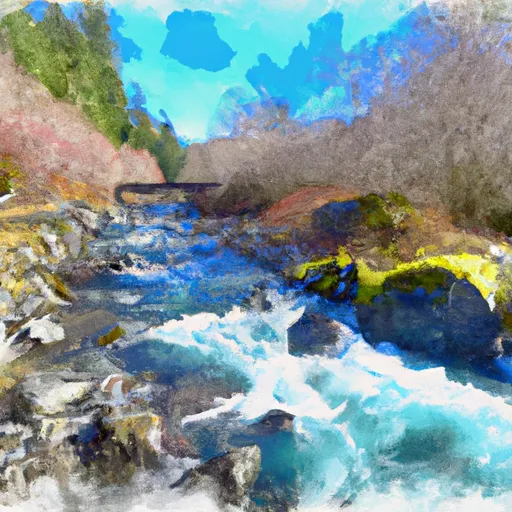 Headwaters And Includes All Tributaries To Confluence With Bridge Creek

