Summary
The ideal streamflow range for this run is between 800 and 4,000 cubic feet per second (cfs), with higher flows providing more challenging rapids. The river is rated class III-IV, making it suitable for intermediate to advanced paddlers. The segment mileage for this run is approximately 6 miles.
The river features several notable rapids, including "Boulder Scramble," "Happy Hour," and "Slalom Rapids." These rapids can be challenging and require experienced paddlers to navigate safely. Additionally, there are several notable obstacles on this river run, including boulders, logs, and steep drops.
There are specific regulations to the area that visitors should be aware of. Permits are required to access the river, and visitors must follow all state and federal regulations related to boating, fishing, and camping. Additionally, visitors are required to pack out all trash and leave the area as they found it.
Overall, the Huckleberry Creek to Confluence with Clearwater River Whitewater River Run is a challenging and rewarding destination for experienced paddlers. With its scenic views, challenging rapids, and unique obstacles, this run is a must-visit for those seeking an adrenaline-pumping whitewater experience in Washington state.
°F
°F
mph
Wind
%
Humidity
15-Day Weather Outlook
River Run Details
| Last Updated | 2025-12-08 |
| River Levels | 1210 cfs (47.97 ft) |
| Percent of Normal | 180% |
| Status | |
| Class Level | iii-iv |
| Elevation | ft |
| Streamflow Discharge | cfs |
| Gauge Height | ft |
| Reporting Streamgage | USGS 12097850 |


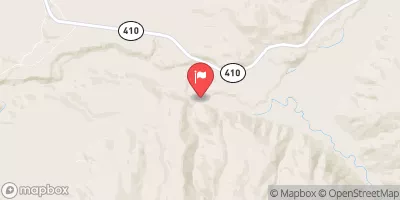

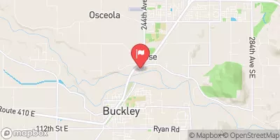
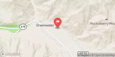

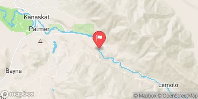
 Twin Lake Backcountry Camp
 Greenwater Campground
 Sunset Lake Camp
 Carbon River Dispersed Roadside Camping
 Ipsut Creek - Mount Rainier National Park
 Ipsut Creek Campground
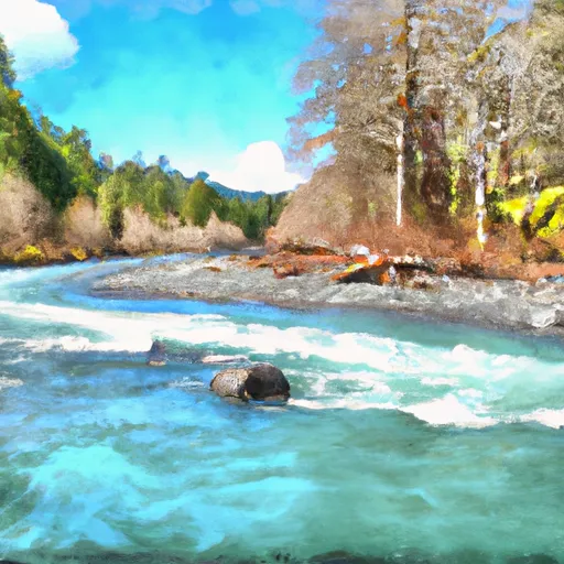 Huckleberry Creek To Confluence With Clearwater River
 Confluence With Ipsut Creek To Western Boundary Of Mount Rainier National Park
 King County Enumclaw Park
 Federation Forest State Park
 Market Square Park
 Veterans Triangle Park
 MacFarland Park