Summary
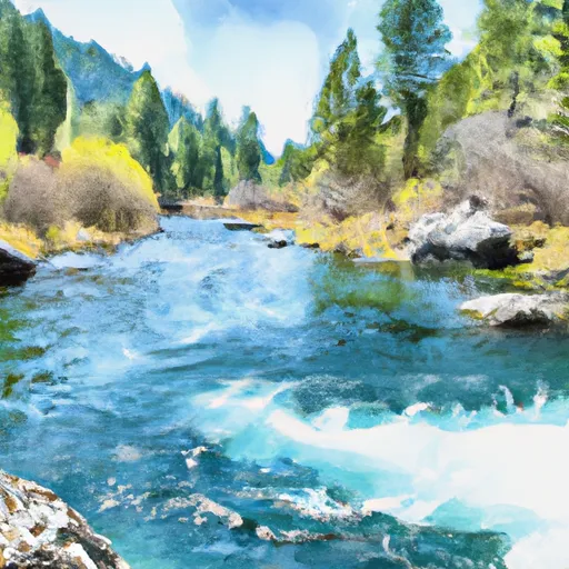
The ideal streamflow range for this run is between 500-2500 cfs. The class rating ranges from II to IV, with the rapids increasing in difficulty as the river progresses. Some specific rapids and obstacles include the Class III+ Double Drop, the Class IV Boulder Garden, and the Class IV+ Meatgrinder.
To protect the natural beauty and recreational opportunities of the area, specific regulations have been put in place. These include a day-use permit system and a limit of 12 people per group. It is also important to note that the use of glass and Styrofoam containers is prohibited on the river.
Overall, the Whitewater River run offers a thrilling adventure for experienced kayakers and rafters. However, it is important to be aware of the changing water levels and potential hazards on the river. It is recommended to consult with local outfitters and guides before attempting this run.
°F
°F
mph
Wind
%
Humidity
15-Day Weather Outlook
River Run Details
| Last Updated | 2026-02-07 |
| River Levels | 584 cfs (4.28 ft) |
| Percent of Normal | 147% |
| Status | |
| Class Level | iii+-iv |
| Elevation | ft |
| Streamflow Discharge | cfs |
| Gauge Height | ft |
| Reporting Streamgage | USGS 12448000 |
5-Day Hourly Forecast Detail
Nearby Streamflow Levels
 Chewuch River At Winthrop
|
182cfs |
 Methow River At Winthrop
|
667cfs |
 Methow River Above Goat Creek Near Mazama
|
264cfs |
 Twisp River Near Twisp
|
265cfs |
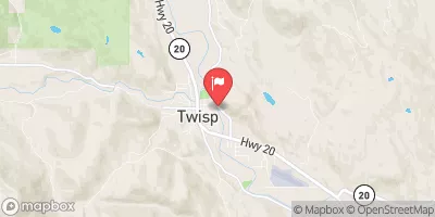 Methow River At Twisp
|
990cfs |
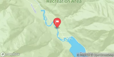 Stehekin River At Stehekin
|
632cfs |
Area Campgrounds
| Location | Reservations | Toilets |
|---|---|---|
 Pearrygin Lake State Park
|
||
 Bear Creek - WDFW
|
||
 Ramsey Creek Campground
|
||
 Ramsey Creek - WDFW
|
||
 Cougar Lake Campground
|
||
 Couger Lake WDFW
|
River Runs
-
 Lake Chelan-Sawtooth Wilderness Boundary To Okanogan Nf Boundary
-
 Confluence Of South Fork Wolf Creek To Lake Chelan-Sawtooth Wilderness Boundary
-
 Pasayten Wilderness Boundary To Okanogan Nf Boundary
-
 Private Land Boundary To Okanogan Nf Boundary
-
 Lake Chelan-Sawtooth Wilderness Boundary To Private Land Boundary Near Lime Creek In Se1/4 Of Sec 18, T33N, R20E

