Summary
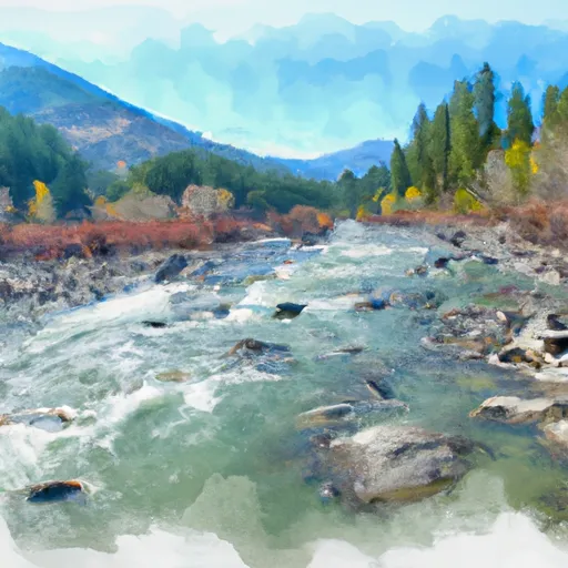
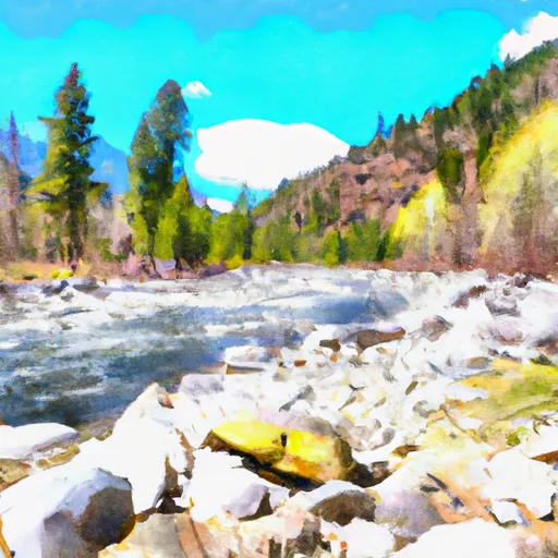
The segment has a total mileage of 8.5 miles and features scenic views of the Okanogan-Wenatchee National Forest. The ideal streamflow range for this segment is between 500 and 2000 cfs, which usually occurs during the months of May and June.
The Whitewater River Run is rated Class III, with several moderate rapids and obstacles, including Boulder Drop, Carnage, and Rattlesnake. These rapids provide an exciting and challenging experience for intermediate kayakers and rafters. However, it is important to note that these rapids can be dangerous if proper safety measures are not taken.
The area is regulated by the Okanogan-Wenatchee National Forest and requires a recreation pass for parking. Additionally, kayakers and rafters are required to wear personal floatation devices and helmets while on the river. It is also important to respect private land boundaries to ensure access to the area is maintained.
°F
°F
mph
Wind
%
Humidity
15-Day Weather Outlook
River Run Details
| Last Updated | 2026-02-07 |
| River Levels | 941 cfs (15.36 ft) |
| Percent of Normal | 158% |
| Status | |
| Class Level | iii |
| Elevation | ft |
| Streamflow Discharge | cfs |
| Gauge Height | ft |
| Reporting Streamgage | USGS 12447383 |
5-Day Hourly Forecast Detail
Nearby Streamflow Levels
 Methow River Above Goat Creek Near Mazama
|
238cfs |
 Chewuch River At Winthrop
|
184cfs |
 Methow River At Winthrop
|
632cfs |
 Twisp River Near Twisp
|
248cfs |
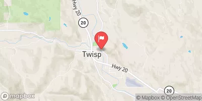 Methow River At Twisp
|
944cfs |
 Andrews Creek Near Mazama
|
7cfs |
Area Campgrounds
| Location | Reservations | Toilets |
|---|---|---|
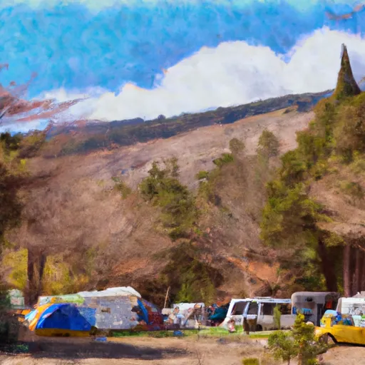 Early Winters Campground
|
||
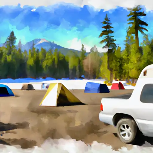 Early Winters
|
||
 Klipchuck
|
||
 Klipchuck Campground
|
||
 Nice Campground
|
||
 Buck Lake Campground
|
River Runs
-
 Private Land Boundary To Okanogan Nf Boundary
-
 Confluence Of South Fork Wolf Creek To Lake Chelan-Sawtooth Wilderness Boundary
-
 Lake Chelan-Sawtooth Wilderness Boundary To Okanogan Nf Boundary
-
 Confluence With Brush Creek To Private Land Boundary Near Lost River In Nw1/4 Of Sec 5, T36N, R19E
-
 Pasayten Wilderness Boundary To Confluence With Methow River
-
 Pasayten Wilderness Boundary To Okanogan Nf Boundary

