Summary
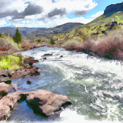
The ideal streamflow range for rafting and kayaking on the Klickitat River is between 800 and 2000 cfs. The Klickitat River is rated as a class II-IV river with some challenging rapids and obstacles. The segment mileage for the river run is around 10 miles, starting from the Slavin Road bridge to the Fisher Hill bridge.
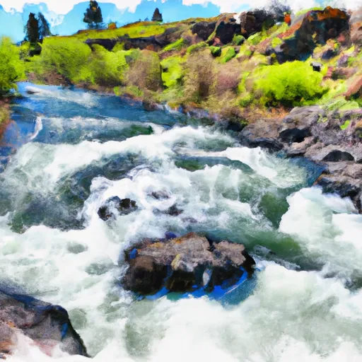
The Klickitat River has some thrilling rapids and obstacles that are sure to excite whitewater enthusiasts. Some notable rapids on the river include Maytag, Grasshopper, and Swimmer’s Rapid. The Maytag rapid is a class III rapid that features a large hole that can be challenging to navigate. Grasshopper rapid, on the other hand, is a class IV rapid that features some challenging drops and waves. Swimmer’s Rapid is also a class IV rapid that features a large standing wave that requires precise timing and maneuvering.
There are specific regulations that apply to the Klickitat River to ensure safety and preserve the natural environment. All boaters are required to obtain a permit from the Klickitat County Public Works Department before entering the river. Additionally, all boaters are required to carry a life jacket and a whistle at all times while on the river. Camping is not allowed on the riverbanks, and all trash should be packed out.
In conclusion, the Klickitat River is a popular whitewater river run in Washington State with an ideal streamflow range of 800-2000 cfs, a class II-IV rating, 10 miles of segment mileage, and some challenging rapids and obstacles. Boaters should adhere to specific regulations such as obtaining a permit, carrying safety gear, and packing out trash while on the river.
°F
°F
mph
Wind
%
Humidity
15-Day Weather Outlook
River Run Details
| Last Updated | 2025-06-28 |
| River Levels | 1590 cfs (5.06 ft) |
| Percent of Normal | 66% |
| Status | |
| Class Level | ii-iv |
| Elevation | ft |
| Streamflow Discharge | cfs |
| Gauge Height | ft |
| Reporting Streamgage | USGS 14111400 |
5-Day Hourly Forecast Detail
Nearby Streamflow Levels
 Klickitat River Bl Summit Creek Near Glenwood
|
1100cfs |
 Klickitat River Near Pitt
|
1380cfs |
 Klickitat River Above West Fork Near Glenwood
|
454cfs |
 Columbia River At The Dalles
|
130000cfs |
 Mosier Creek Near Mosier
|
7cfs |
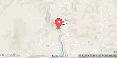 White Salmon River Near Underwood
|
1560cfs |
Area Campgrounds
| Location | Reservations | Toilets |
|---|---|---|
 Leidl South Campground
|
||
 Leidl North Campground
|
||
 Leidl South - WDFW
|
||
 Stimpson Flats - WDFW
|
||
 Stinson Flats Campground
|
||
 Mineral Springs - WDFW
|


 Klickitat River
 Summit Creek To Mouth Of Little Klickitat