2026-02-22T10:00:00-08:00
* WHAT...East to southeast winds 15 to 25 mph with gusts up to 45 mph expected. * WHERE...Foothills and Valleys of Central King County, Foothills and Valleys of Pierce and Southern King Counties, and Foothills and Valleys of Snohomish and Northern King Counties. * WHEN...Until 10 AM PST Sunday. * IMPACTS...Gusty winds could blow around unsecured objects. Tree limbs could be blown down and a few power outages may result.
Summary
The run starts at the base of Snoqualmie Falls and ends at Plum's Landing, covering a distance of about 5.5 miles. The river is characterized by rapids, riffles, and pools, with numerous obstacles such as log jams and sweepers. The best time to float this section is from May to September, with recommended flows of 600-1500 cfs. Novice and intermediate paddlers can enjoy this scenic and challenging run, but caution and experience are advised due to the river obstacles.
°F
°F
mph
Wind
%
Humidity
15-Day Weather Outlook
River Run Details
| Last Updated | 2023-06-13 |
| River Levels | 398 cfs (8.45 ft) |
| Percent of Normal | 61% |
| Optimal Range | 300-4000 cfs |
| Status | Runnable |
| Class Level | II+ to III- |
| Elevation | 441 ft |
| Run Length | 1.0 Mi |
| Gradient | 15 FPM |
| Streamflow Discharge | 324 cfs |
| Gauge Height | 8.2 ft |
| Reporting Streamgage | USGS 12144000 |
5-Day Hourly Forecast Detail
Nearby Streamflow Levels
Area Campgrounds
| Location | Reservations | Toilets |
|---|---|---|
 Tolt-MacDonald Park Campground
|
||
 Site 27
|
||
 Tolt MacDonald Park
|
||
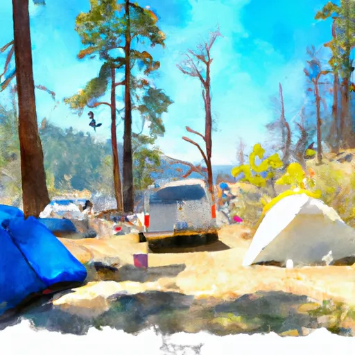 Site 36
|
||
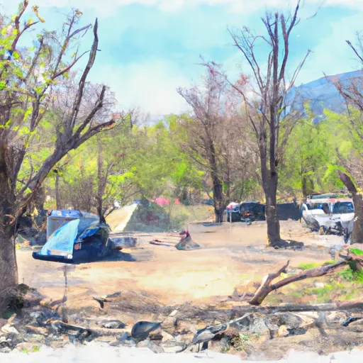 Site 37
|
||
 Site 38
|


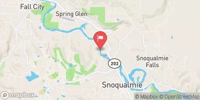
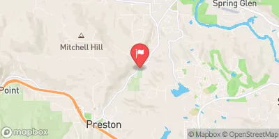
 Southeast Fish Hatchery Road 36495-37159, Fall City
 Snoqualmie Falls to Plum's Landing
 Confluence With Taylor River To Confluence With North Fork Snoqualmie River
 Wagner Bridge To Confluence With Middle Fork Snoqualmie River
 Fall City Memorial Park
 Three Forks Park
 Estebo Park
 Nowak Park
 Gardiner-Weeks Memorial Park