Summary
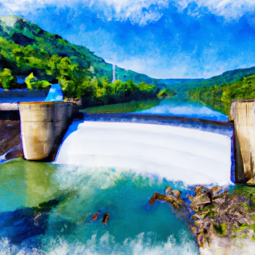
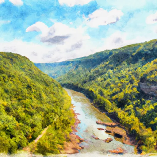
The ideal streamflow range for this section of the river is between 1,000 and 2,000 cubic feet per second (cfs). The class rating for this segment is Class III-IV, making it suitable for intermediate to advanced paddlers. The total segment mileage is approximately 10 miles, with several notable rapids and obstacles such as "Shoals" and "Lower Mash."
There are specific regulations in place for this area, including a requirement for all rafters and kayakers to wear a personal flotation device (PFD) at all times while on the river. Additionally, all participants must be able to swim and have some experience in whitewater paddling. The area is also subject to certain seasonal restrictions, and permits may be required for commercial outfitters.
Overall, the Whitewater River Run from Bluestone Dam to Gauley Bridge offers a challenging and thrilling experience for experienced paddlers. It is important to check current streamflow conditions and adhere to all regulations to ensure a safe and enjoyable trip.
°F
°F
mph
Wind
%
Humidity
15-Day Weather Outlook
River Run Details
| Last Updated | 2026-01-26 |
| River Levels | 244 cfs (1.0 ft) |
| Percent of Normal | 26% |
| Status | |
| Class Level | iii-iv |
| Elevation | ft |
| Run Length | 67.0 Mi |
| Streamflow Discharge | cfs |
| Gauge Height | ft |
| Reporting Streamgage | USGS 03184000 |
5-Day Hourly Forecast Detail
Nearby Streamflow Levels
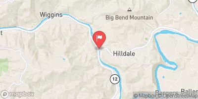 Greenbrier River At Hilldale
|
816cfs |
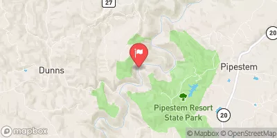 Bluestone River Near Pipestem
|
1820cfs |
 Greenbrier River At Alderson
|
347cfs |
 Piney Creek At Raleigh
|
215cfs |
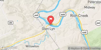 New River At Glen Lyn
|
2980cfs |
 Wolf Creek Near Narrows
|
1280cfs |


 Bluestone State Park
 Berry's Campground
 Bertha - Bluestone WMA
 Bull Falls - Bluestone WMA
 Mouth of Indian Creek - Bluestone WMA
 Indian Mills - Bluestone WMA
 Bluestone Dam To Gauley Bridge
 Bluestone Dam to Sandstone
 New River Gorge National River
 Bluestone State Park
 Pipestem Resort State Park