Summary
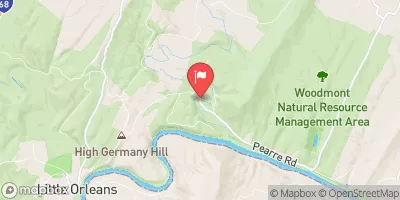
The ideal streamflow range for this section of the river is between 400-700 cfs. The river is rated as a Class II-III, making it suitable for intermediate level kayakers and rafters.
The segment mileage for this run is approximately 10 miles, offering a fun and challenging day trip for adventurous paddlers. The river features several rapids, including Pinball, Zume Flume, and Staircase, which require technical maneuvering and quick decision-making. Paddlers should also be aware of potential obstacles, such as strainers and undercut rocks, which can create dangerous situations.
There are specific regulations for this area, including a required permit for commercial use and a limit of six private boats per day. Additionally, paddlers should adhere to Leave No Trace principles and avoid disturbing wildlife and vegetation along the riverbanks.
Overall, the Whitewater River run in West Virginia provides a thrilling experience for intermediate paddlers looking for a challenge. However, it is important to check current streamflow levels and be aware of potential hazards before embarking on any river trip.
°F
°F
mph
Wind
%
Humidity
15-Day Weather Outlook
River Run Details
| Last Updated | 2026-01-29 |
| River Levels | 201 cfs (1.34 ft) |
| Percent of Normal | 16% |
| Status | |
| Class Level | ii-iii |
| Elevation | ft |
| Run Length | 24.0 Mi |
| Streamflow Discharge | cfs |
| Gauge Height | ft |
| Reporting Streamgage | USGS 01608500 |


 Purslane Run Hiker Biker Campsite
 Purslane Run Campsite
 Paw Paw Campground
 Sorrel Ridge Hiker Biker Campsite
 Sorrel Ridge Campsite
 Stickpile Hill Hiker Biker Campsite
 Begins South Of Largent To The Confluence With The Potomac At Great Cacapon