Summary
The ideal streamflow range for this run is between 500 and 2000 cfs, with the best conditions being around 1000 cfs. The class rating for this run ranges from Class III to Class V, depending on the section of the river.
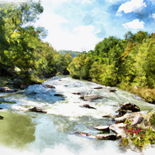
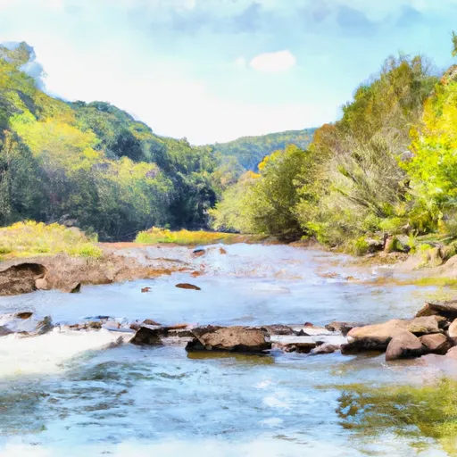
The segment mileage for this run is approximately 7 miles, stretching from the Junction with Williams River to the Junction with Panther Creek. Within this stretch, there are several challenging rapids and obstacles, including Sweets Falls, Corkscrew, and the Pinnacle. These rapids are rated as Class IV and V in difficulty, with steep drops, tight chutes, and powerful hydraulics.
There are specific regulations in place for the Whitewater River Run. All boaters are required to wear a U.S. Coast Guard-approved personal flotation device and appropriate safety gear. Additionally, all boaters must obtain a permit from the National Park Service before entering the river. Camping is not allowed along the river, and fires are prohibited.
In conclusion, the Whitewater River Run in West Virginia offers a challenging and exciting experience for experienced whitewater enthusiasts. With specific regulations in place and a range of class ratings, this run is suitable for those looking for an adrenaline-fueled adventure.
°F
°F
mph
Wind
%
Humidity
15-Day Weather Outlook
River Run Details
| Last Updated | 2026-01-23 |
| River Levels | 33 cfs (1.14 ft) |
| Percent of Normal | 53% |
| Status | |
| Class Level | iii-v |
| Elevation | ft |
| Run Length | 25.0 Mi |
| Streamflow Discharge | cfs |
| Gauge Height | ft |
| Reporting Streamgage | USGS 03186500 |
5-Day Hourly Forecast Detail
Nearby Streamflow Levels
 Williams River At Dyer
|
767cfs |
 Cranberry River Near Richwood
|
259cfs |
 Gauley River Near Craigsville
|
3870cfs |
 Elk River Below Webster Springs
|
1520cfs |
 Birch River At Herold
|
11cfs |
 L Kanawha River Nr Wildcat
|
362cfs |
Area Campgrounds
| Location | Reservations | Toilets |
|---|---|---|
 Bishop Knob
|
||
 Bishop Knob Campground
|
||
 Cranberry
|
||
 Cranberry Campground
|
||
 Cranberry River Sites
|


 The Junction With Williams River
To The Junction With Panther Creek
 Three Forks To Spice Run
 The U.S. Forest Service Cranberry Campground
To The Confluence With The Gauley River
 Rabbit Run To Private Land .5 Mile From Richwood