Summary
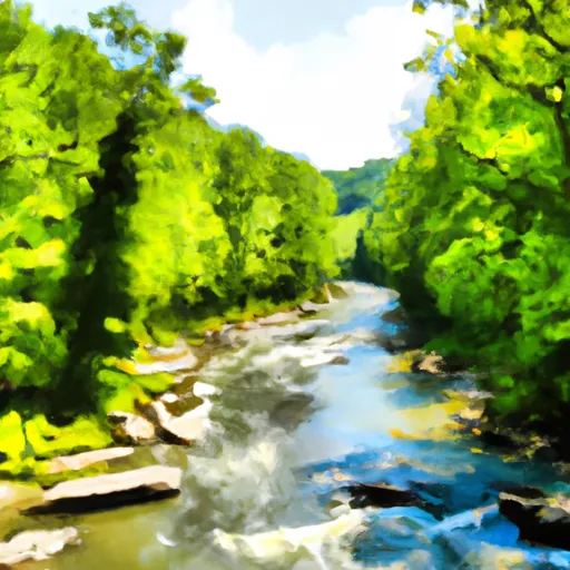
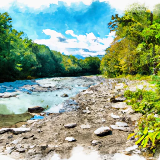
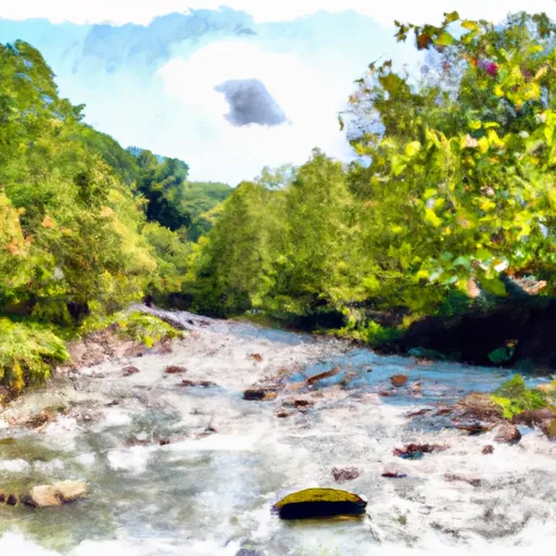
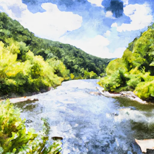
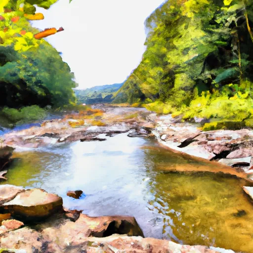
The Laurel Fork River to Glady Fork River run in West Virginia is a popular whitewater destination, featuring Class II to III rapids and scenic views. The ideal streamflow range for this run is between 200 and 800 cubic feet per second (cfs), which is typically observed in the spring and early summer months. This run is approximately 8 miles long and can be completed in a half-day trip.
The segment mileage begins at the Laurel Fork Campground and ends at the Glady Fork Campground. Along the way, paddlers will encounter several Class II rapids, including "The Ledges," "The Notch," and "The Slide." Additionally, there are a few Class III rapids, such as "The S-Turn," which can be challenging to navigate.
There are specific regulations to the area, including a required permit for groups of 10 or more people. Additionally, all paddlers must wear a personal flotation device (PFD) while on the river. It is also important to respect private property boundaries and leave no trace behind.
Overall, the Laurel Fork River to Glady Fork River run is a scenic and enjoyable whitewater experience with manageable rapids, making it a great option for intermediate paddlers. It is important to check current streamflow levels and adhere to all regulations to ensure a safe and enjoyable trip.
°F
°F
mph
Wind
%
Humidity
15-Day Weather Outlook
River Run Details
| Last Updated | 2026-02-07 |
| River Levels | 116 cfs (1.89 ft) |
| Percent of Normal | 12% |
| Status | |
| Class Level | ii-iii |
| Elevation | ft |
| Streamflow Discharge | cfs |
| Gauge Height | ft |
| Reporting Streamgage | USGS 03065000 |
5-Day Hourly Forecast Detail
Nearby Streamflow Levels
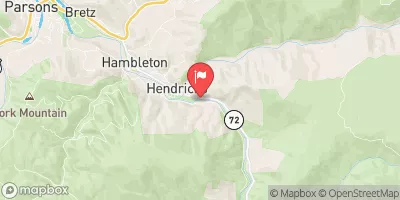 Dry Fork At Hendricks
|
1300cfs |
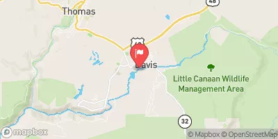 Blackwater R At Davis
|
489cfs |
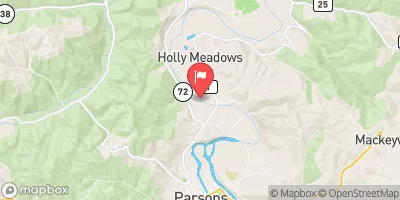 Cheat River Near Parsons
|
13400cfs |
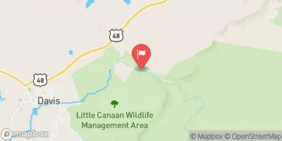 Blackwater R Nr Davis
|
132cfs |
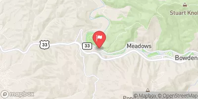 Shavers Fork Below Bowden
|
431cfs |
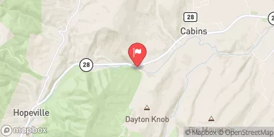 N F South Br Potomac R At Cabins
|
821cfs |
Area Campgrounds
| Location | Reservations | Toilets |
|---|---|---|
 Brian's place
|
||
 Blackwater Falls State Park
|
||
 Bear Heaven Campground
|
||
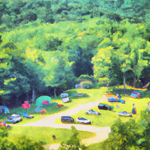 Camp Site 6
|
||
 Camp Site 7
|
||
 Horseshoe Recreation and Campground Area
|


 Laurel Fork River To Glady Fork River
 Waterfall Run To Dry Fork
 Private Land To Dry Fork
 Shears Hollow To Private Land
 Glady Fork River To Otter Creek
 Enter Otter Creek Wilderness To Exit Otter Creek Wilderness
 Canaan Valley State Park
 Blackwater Falls State Park
 Canaan Valley National Wildlife Refuge
 Wilderness Roaring Plains West
 Wilderness Dolly Sods