Summary
The ideal streamflow range for this segment is between 400-800 cfs, although some experienced paddlers may attempt it at higher flows. The class rating for this segment is III-IV, with challenging rapids and obstacles throughout the course of the run.
The segment covers a distance of approximately 9 miles, starting at Otter Creek and ending at the confluence with Blackwater River. Some of the notable rapids on this run include "Otter Slide," "Top Drop," and "Staircase." Paddlers should be aware of potential hazards such as undercut rocks, strainers, and log jams.
There are specific regulations in place for this area, including a requirement for a permit from the West Virginia Department of Natural Resources. Additionally, all paddlers must wear a personal flotation device and carry a whistle and throw rope. There are also restrictions on camping and fires in the area.
°F
°F
mph
Wind
%
Humidity
15-Day Weather Outlook
River Run Details
| Last Updated | 2026-02-07 |
| River Levels | 116 cfs (1.89 ft) |
| Percent of Normal | 12% |
| Status | |
| Class Level | None |
| Elevation | ft |
| Streamflow Discharge | cfs |
| Gauge Height | ft |
| Reporting Streamgage | USGS 03065000 |
5-Day Hourly Forecast Detail
Nearby Streamflow Levels
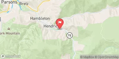 Dry Fork At Hendricks
|
1300cfs |
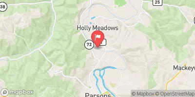 Cheat River Near Parsons
|
13400cfs |
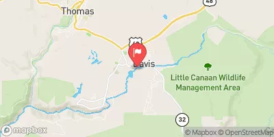 Blackwater R At Davis
|
489cfs |
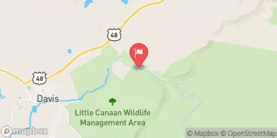 Blackwater R Nr Davis
|
132cfs |
 Shavers Fork Below Bowden
|
431cfs |
 Tygart Valley River At Belington
|
2160cfs |
Area Campgrounds
| Location | Reservations | Toilets |
|---|---|---|
 Blackwater Falls State Park
|
||
 Horseshoe Recreation and Campground Area
|
||
 Brian's place
|
||
 Bear Heaven Campground
|
||
 Camp Site 6
|
||
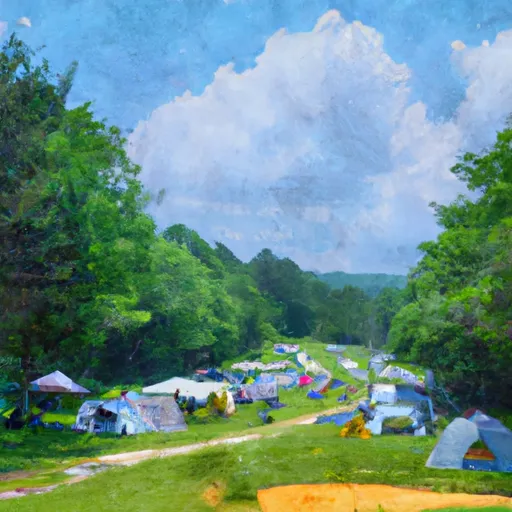 Camp Site 7
|


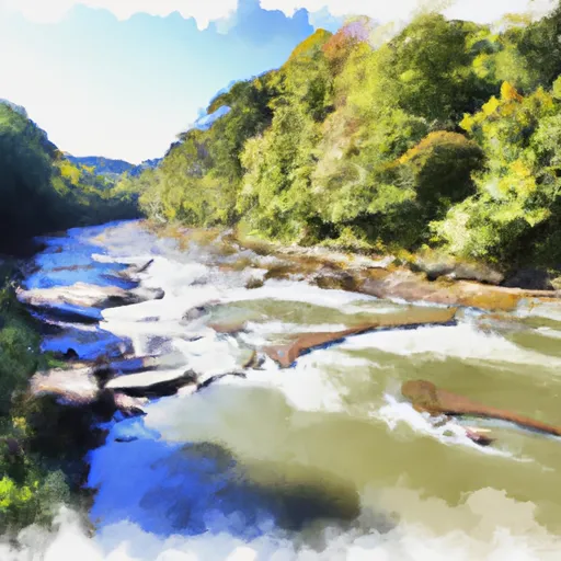 Otter Creek To Blackwater
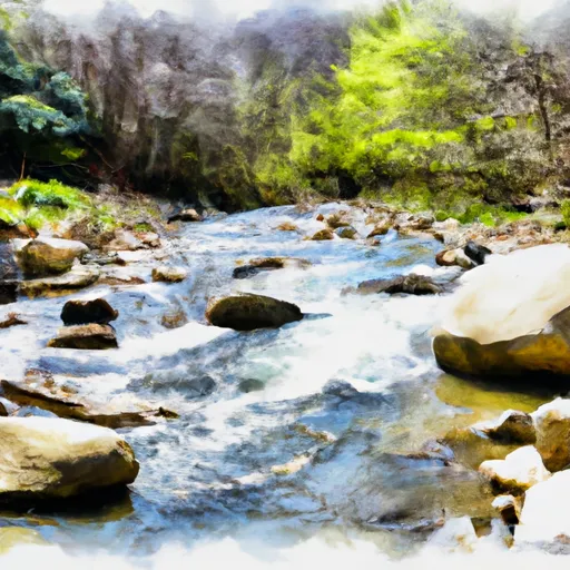 North Fork To Hickory Lick Run
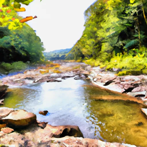 Enter Otter Creek Wilderness To Exit Otter Creek Wilderness
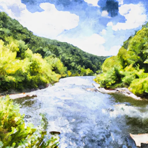 Glady Fork River To Otter Creek
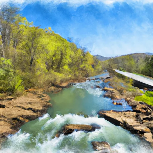 Route 33/8 To Jobs Run Near Porterwood
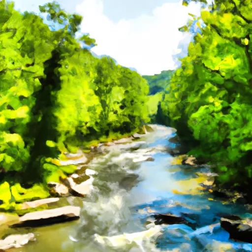 Laurel Fork River To Glady Fork River
 Blackwater Falls State Park
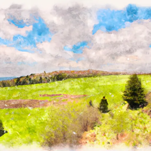 Canaan Valley State Park
 Canaan Valley National Wildlife Refuge