Summary
The ideal streamflow range for this run is between 500 and 2000 cubic feet per second (cfs), which generally occurs during the spring and early summer months. The segment mileage of this run is approximately 10 miles, with a class rating of III-IV.
There are several notable rapids and obstacles along this run, including the Entrance Rapid, which is a steep drop into a narrow channel, and the Bemis-Stone Rapid, which is a long and technical section with multiple drops and tight turns. Other notable rapids include the Pinball Rapid and the S-Curve Rapid.
It is important to note that the Otter Creek Wilderness area is protected by specific regulations, such as a ban on motorized vehicles and a limit on group size to 10 people. Additionally, all boaters are required to have a permit to access the area and are required to practice Leave No Trace principles to minimize their impact on the environment.
Overall, the Otter Creek Wilderness run is a challenging and exciting adventure for experienced whitewater enthusiasts, but it is important to be aware of the specific regulations and guidelines in place to protect the natural environment.
°F
°F
mph
Wind
%
Humidity
15-Day Weather Outlook
River Run Details
| Last Updated | 2026-02-07 |
| River Levels | 116 cfs (1.89 ft) |
| Percent of Normal | 12% |
| Status | |
| Class Level | None |
| Elevation | ft |
| Streamflow Discharge | cfs |
| Gauge Height | ft |
| Reporting Streamgage | USGS 03065000 |
5-Day Hourly Forecast Detail
Nearby Streamflow Levels
 Dry Fork At Hendricks
|
1300cfs |
 Cheat River Near Parsons
|
13400cfs |
 Blackwater R At Davis
|
489cfs |
 Shavers Fork Below Bowden
|
431cfs |
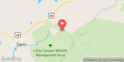 Blackwater R Nr Davis
|
132cfs |
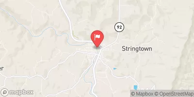 Tygart Valley River At Belington
|
2160cfs |


 Brian's place
 Bear Heaven Campground
 Blackwater Falls State Park
 Horseshoe Recreation and Campground Area
 Stuart Day Use Area and Campground
 Stuart Campground
 Enter Otter Creek Wilderness To Exit Otter Creek Wilderness
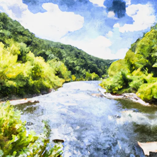 Glady Fork River To Otter Creek
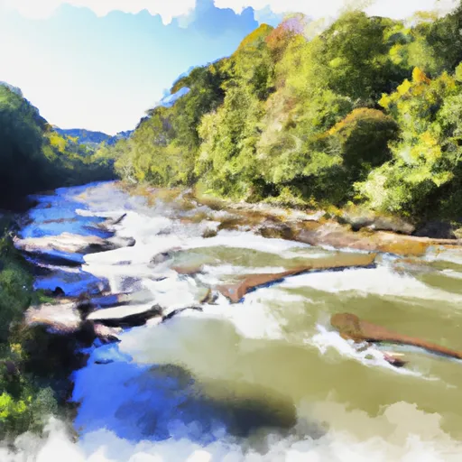 Otter Creek To Blackwater
 North Fork To Hickory Lick Run
 Route 33/8 To Jobs Run Near Porterwood
 Waterfall Run To Dry Fork
 Blackwater Falls State Park
 Canaan Valley State Park
 Canaan Valley National Wildlife Refuge