Summary
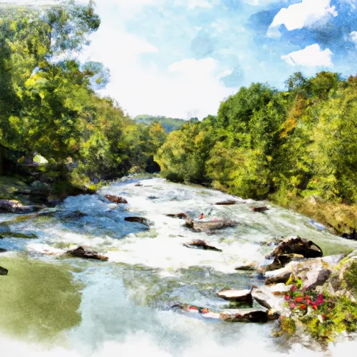
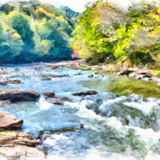
The ideal streamflow range for this section of the river is between 200-400 cubic feet per second (cfs). The river is rated as a class III-IV, and the segment mileage is approximately 8 miles long. This section of the river is known for its steep drops and technical rapids, including "Sweets Falls" and "Tea Creek Falls".
In terms of specific regulations, all visitors to the Whitewater River Run are required to have a permit from the National Forest Service. Additionally, visitors are not allowed to camp within 100 feet of the river or within designated wilderness areas. As with all outdoor activities, visitors are encouraged to follow Leave No Trace principles and to respect the natural environment.
Overall, the Whitewater River Run offers a thrilling and challenging experience for experienced kayakers and rafters. It is important to monitor streamflow levels and to follow all regulations and safety guidelines to ensure a safe and enjoyable trip.
°F
°F
mph
Wind
%
Humidity
15-Day Weather Outlook
River Run Details
| Last Updated | 2026-01-23 |
| River Levels | 79 cfs (2.19 ft) |
| Percent of Normal | 45% |
| Status | |
| Class Level | iii-iv |
| Elevation | ft |
| Streamflow Discharge | cfs |
| Gauge Height | ft |
| Reporting Streamgage | USGS 03182500 |
5-Day Hourly Forecast Detail
Nearby Streamflow Levels
 Greenbrier River At Buckeye
|
428cfs |
 Williams River At Dyer
|
139cfs |
 Cranberry River Near Richwood
|
259cfs |
 Gauley River Near Craigsville
|
1900cfs |
 Elk River Below Webster Springs
|
261cfs |
 Little Back Creek Near Sunrise
|
9cfs |
Area Campgrounds
| Location | Reservations | Toilets |
|---|---|---|
 Tea Creek Campground
|
||
 Tea Creek
|
||
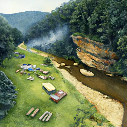 Williams River Sites
|
||
 Williams River
|
||
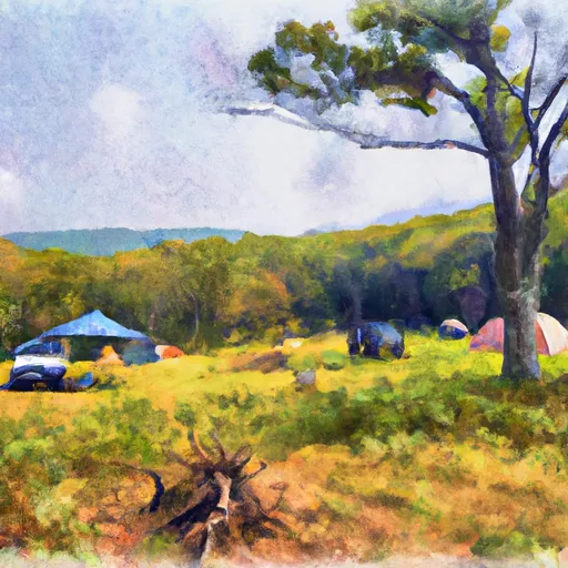 Handley WMA
|
||
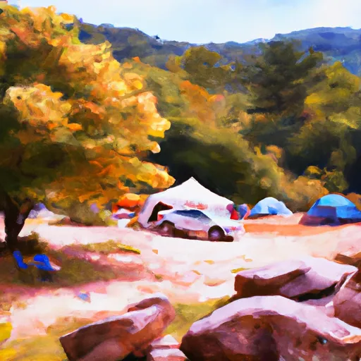 Day Run
|


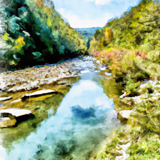 National Forest Land To Tea Creek
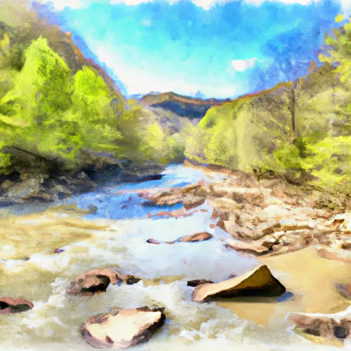 Tea Creek To Three Forks
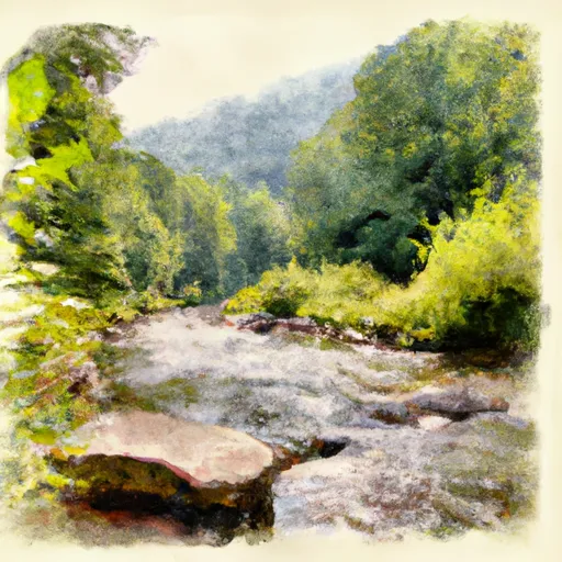 The Headwaters
To The U.S. Forest Service Cranberry Campground
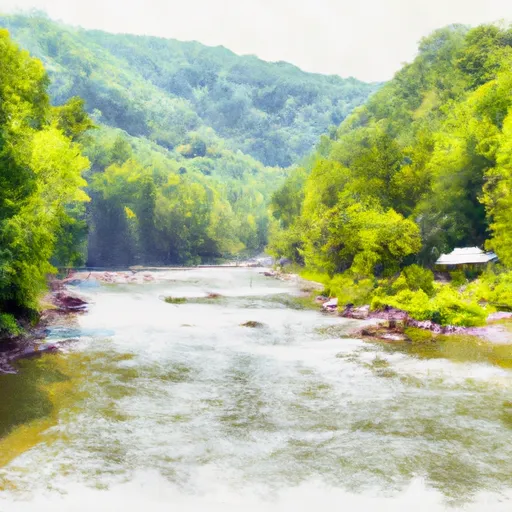 The U.S. Forest Service Cranberry Campground
To The Confluence With The Gauley River
 Three Forks To Spice Run
 Darnell Run To Rabbit Run