Summary
The ideal streamflow range for this run is between 1,500 and 3,000 cubic feet per second (cfs). This provides optimal conditions for Class III and IV rapids, which make up the majority of the run.
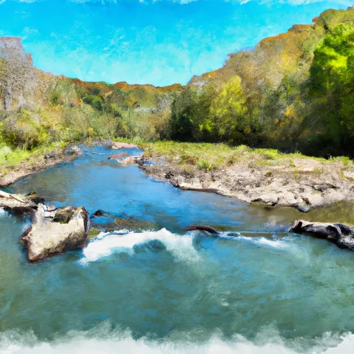
The Lambert Run to US 250 segment is approximately 10 miles long, starting near the town of Parsons and ending at the Cheat River Bridge. The Class III+ rapids of Big Nasty and Decision are among the highlights of this section, while the Class IV rapids of Coliseum and the Narrows provide a challenge for more experienced paddlers.
As with all rivers, there are specific regulations that must be followed when navigating this stretch of water. All boaters are required to wear personal flotation devices (PFDs) at all times, and it is recommended that paddlers have experience with Class III and IV rapids before attempting this run. In addition, some areas of the river may be closed during certain times of the year to protect wildlife and the surrounding environment.
Overall, the Whitewater River Run from Lambert Run to US 250 offers a thrilling experience for whitewater enthusiasts with its challenging rapids and scenic views of the West Virginia wilderness.
°F
°F
mph
Wind
%
Humidity
15-Day Weather Outlook
River Run Details
| Last Updated | 2026-01-20 |
| River Levels | 68 cfs (4.68 ft) |
| Percent of Normal | 37% |
| Status | |
| Class Level | iii-iii+ |
| Elevation | ft |
| Streamflow Discharge | cfs |
| Gauge Height | ft |
| Reporting Streamgage | USGS 03067510 |
5-Day Hourly Forecast Detail
Nearby Streamflow Levels
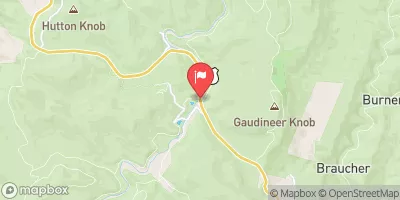 Shavers Fork Nr Cheat Bridge
|
212cfs |
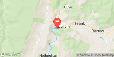 Greenbrier River At Durbin
|
151cfs |
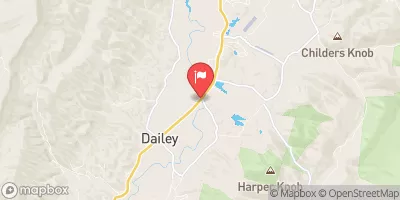 Tygart Valley River Near Dailey
|
1070cfs |
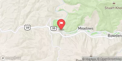 Shavers Fork Below Bowden
|
431cfs |
 Buckhannon River At Alton
|
527cfs |
 Back Creek Near Sunrise
|
56cfs |
Area Campgrounds
| Location | Reservations | Toilets |
|---|---|---|
 Stonecoal Dispersed Camping
|
||
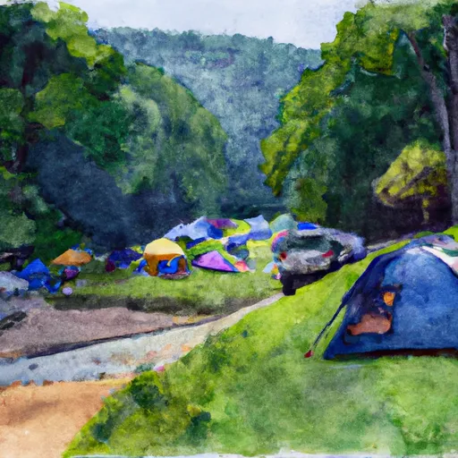 East Fork Campground
|
||
 Middle Mountain Cabins
|
||
 Lake Buffalo
|
||
 Kumbrabow State Forest
|


 Lambert Run To Us 250
 Snowshoe Dam To Lambert Run
 Us 250 To Mcgee Run