2026-02-24T01:00:00-05:00
* WHAT...Heavy snow expected. Total snow accumulations between 6 and 12 inches, with locally higher amounts possible on the highest elevations. Winds gusting as high as 35 mph. * WHERE...Portions of southwest Pennsylvania and northern West Virginia. * WHEN...From 1 AM Sunday to 1 AM EST Tuesday. * IMPACTS...Travel could be very difficult to impossible. The hazardous conditions will impact the Monday morning and evening commutes.
Summary
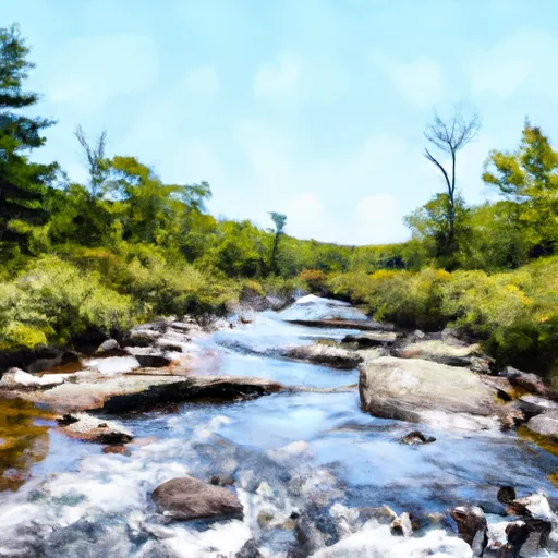
The ideal streamflow range for this river run is between 200 and 500 cubic feet per second (cfs), although it can be run at higher or lower flows depending on skill level. The class rating for this river run varies between Class III and IV, with some rapids reaching Class V during high water. The total segment mileage for this river run is approximately 4.5 miles.
The Whitewater River run features several challenging rapids and obstacles, including the Entrance Rapid, which is a technical and rocky Class III rapid. Other notable rapids include the Cauldron Rapid, which is a steep and turbulent Class IV rapid, and the Slides, which are a series of boulder-choked drops that can reach Class V during high water.
There are specific regulations for this area that visitors must follow. Overnight camping is only allowed in designated campsites and a permit is required. Motorized equipment is not allowed in the wilderness area, and visitors are required to pack out all trash and human waste. It is also important for visitors to respect the fragile ecosystem of the wilderness area and to leave no trace.
In conclusion, the Whitewater River run in Dolly Sods Wilderness is a challenging and exciting destination for experienced whitewater paddlers. With its ideal streamflow range, class rating, segment mileage, specific river rapids/obstacles, and specific regulations, this river run is a must-visit for any whitewater enthusiast.
°F
°F
mph
Wind
%
Humidity
15-Day Weather Outlook
River Run Details
| Last Updated | 2026-02-05 |
| River Levels | 38 cfs (4.16 ft) |
| Percent of Normal | 13% |
| Status | |
| Class Level | iii-v |
| Elevation | ft |
| Streamflow Discharge | cfs |
| Gauge Height | ft |
| Reporting Streamgage | USGS 01606000 |
5-Day Hourly Forecast Detail
Nearby Streamflow Levels
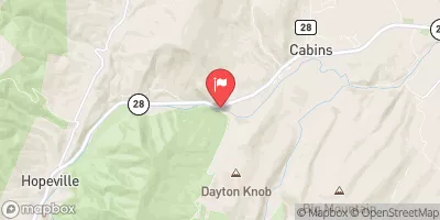 N F South Br Potomac R At Cabins
|
3950cfs |
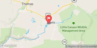 Blackwater R At Davis
|
1330cfs |
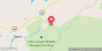 Blackwater R Nr Davis
|
132cfs |
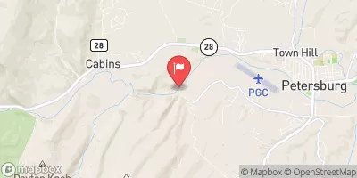 So. Branch Potomac River Nr Petersburg
|
5420cfs |
 Dry Fork At Hendricks
|
6470cfs |
 Cheat River Near Parsons
|
13500cfs |
Area Campgrounds
| Location | Reservations | Toilets |
|---|---|---|
 Red Creek Campground
|
||
 Brian's place
|
||
 Princess Snowbird Campground
|
||
 Jess Judy Group Campground
|
||
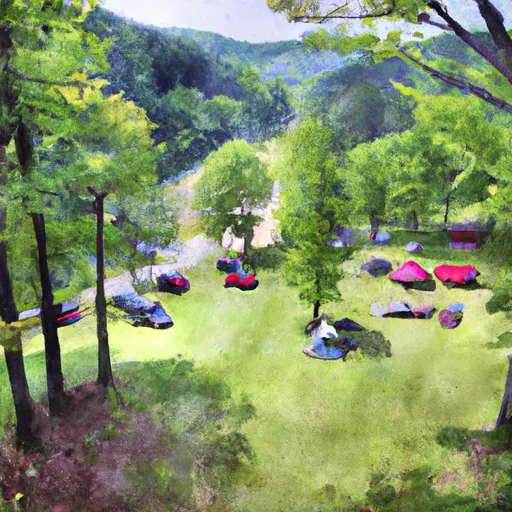 Seneca Shadows Campground
|
||
 Blackwater Falls State Park
|


 Enter Dolly Sods Wilderness To Exit Dolly Sods Wilderness
 Perennial Stream At Forks To Dolly Sods Wilderness Boundary
 High Ridge Run To Outskirts Of Hopeville
 Private Land To Dry Fork
 Laurel Fork River To Glady Fork River
 Waterfall Run To Dry Fork
 Canaan Valley National Wildlife Refuge
 Bear Rocks Preserve
 Canaan Valley State Park
 Wilderness Roaring Plains West
 Blackwater Falls State Park