Summary
This segment covers approximately 7 miles and includes several notable rapids such as Pinball, Double Z, and Tumblehome. The river also features several boulder gardens and challenging drops.
To access this stretch of river, visitors must obtain a permit from the Monongahela National Forest office in Marlinton. Additionally, the Forest Service has implemented several regulations to protect the river and its environment. For example, camping is only allowed at designated campsites, and visitors must pack out all trash and waste.
Overall, the Forks to Frazier Creek stretch of the Whitewater River offers a thrilling and challenging experience for experienced paddlers. It is important to note, however, that the river's conditions can change rapidly, and visitors should always check current streamflow conditions before planning a trip.
°F
°F
mph
Wind
%
Humidity
15-Day Weather Outlook
River Run Details
| Last Updated | 2026-02-07 |
| River Levels | 23 cfs (0.74 ft) |
| Percent of Normal | 44% |
| Status | |
| Class Level | iii-iv |
| Elevation | ft |
| Streamflow Discharge | cfs |
| Gauge Height | ft |
| Reporting Streamgage | USGS 03050000 |
5-Day Hourly Forecast Detail
Nearby Streamflow Levels
 Shavers Fork Below Bowden
|
494cfs |
 Tygart Valley River Near Dailey
|
945cfs |
 Dry Fork At Hendricks
|
1540cfs |
 Shavers Fork Nr Cheat Bridge
|
201cfs |
 Tygart Valley River At Belington
|
2020cfs |
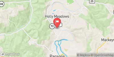 Cheat River Near Parsons
|
3230cfs |
Area Campgrounds
| Location | Reservations | Toilets |
|---|---|---|
 Casa Vitela
|
||
 Laurel Fork
|
||
 Laurel Fork Campground
|
||
 Bear Heaven Campground
|
||
 Stuart Day Use Area and Campground
|
||
 Stuart Campground
|


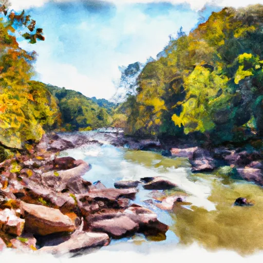 Forks To Frazier Creek
 Mcgee Run To .5 Mile Above Route 22
 Forest Land At Entrance Of Laurel Fork South Wilderness To Exit Laurel Fork North Wilderness
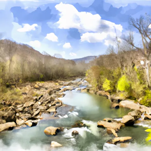 Frazier Creek To .5 Mile Above Us 33
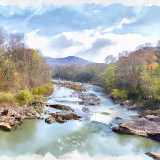 .5 Mile Above Route 22 To Us 33
 ,5 Mile Above Us 33 To Waterfall Run