White Sands To White Pine (Indian Grave Creek) Paddle Report
Last Updated: April 25, 2026
°F
°F
mph
Wind
%
Humidity
Get the latest Paddle Report, Streamflow Levels, and Weather Forecast for White Sands To White Pine (Indian Grave Creek) in Idaho. Idaho Class II TO III Streamflow Levels and Weather Forecast
Summary
Regional Streamflow Levels
 Bitterroot River At Bell Crossing Nr Victor Mt
|
3750cfs |
 Clark Fork Below Missoula Mt
|
12400cfs |
 Bitterroot River Near Missoula Mt
|
5470cfs |
 Clark Fork Above Missoula Mt
|
7200cfs |
 Bitterroot River Near Darby Mt
|
2220cfs |
 Clark Fork At Turah Bridge Nr Bonner Mt
|
2340cfs |
15-Day Long Term Forecast
River Run Details
| Last Updated | |
| River Levels | cfs ( ft) |
| Percent of Normal | +100% |
| Status | |
| Class Level | II to III |
| Elevation | ft |
| Run Length | 20.0 Mi |
| Gradient | 28 FPM |
| Streamflow Discharge | cfs |
| Gauge Height | ft |
| Reporting Streamgage | USGS |
5-Day Hourly Forecast Detail
Area Campgrounds
| Location | Reservations | Toilets |
|---|---|---|
 White Sand
|
||
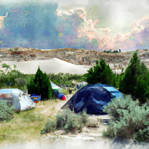 White Sand Campground
|
||
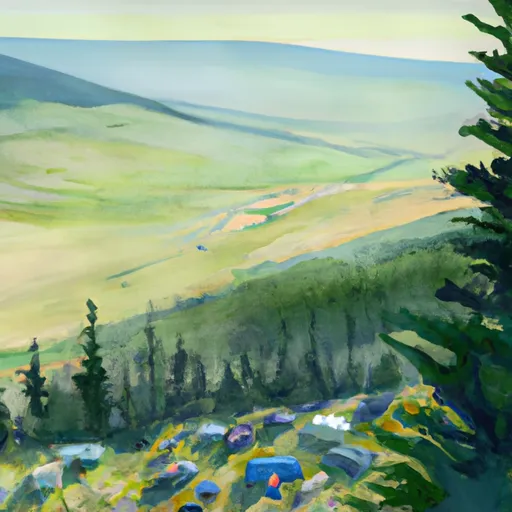 First Beaver Ridge Spot
|
||
 Powell Campground
|
||
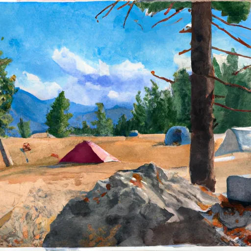 Bear camp
|
||
 Powell
|


 White Sands to White Pine (Indian Grave Creek)
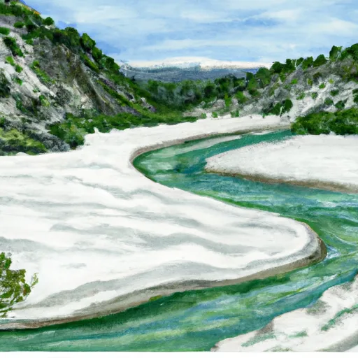 White Sand Mouth, Sec. 34, T37N, R14E To Trail #47 And Trail #50, Sec. 5, T36N, R15E
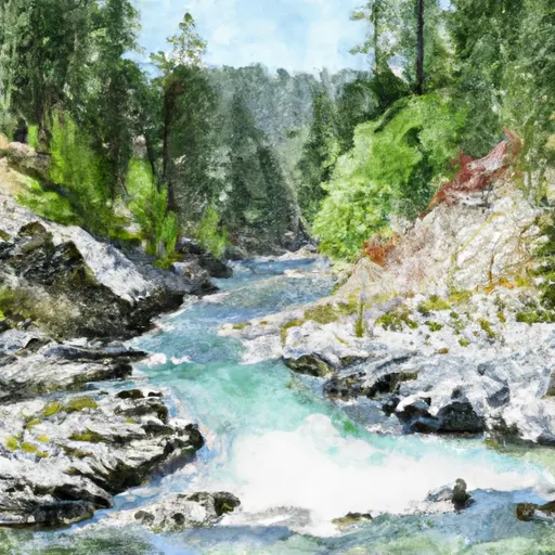 Trail #47 And #50, Sec. 5, T36N, R15E To Selway-Bitterroot Wilderness Boundary, Sec. 36, T36N, R15E
 Continue with Snoflo Premium