William B Bankhead National Forest
Community Reviews
Been here? Share the conditions.
Reviews, ratings & photos are added in the free Snoflo iOS app — rate a spot, tag the conditions, and your visit is verified by location. Add or manage your reviews from the app.
William B Bankhead National Forest
Reasons to Visit:
1. Scenic Beauty: The forest boasts breathtaking landscapes, including rolling hills, majestic waterfalls, serene rivers, and tranquil lakes.
2. Outdoor Recreation: Visitors can enjoy a range of activities such as hiking, camping, fishing, hunting, horseback riding, and bird-watching.
3. Wildlife and Biodiversity: The forest is home to diverse ecosystems, providing habitat for various animal and plant species, offering opportunities for wildlife observation and nature photography.
4. Historic Sites: The area also features historic sites, including old homesteads, mining areas, and remnants of early American settlements.
Points of Interest:
1. Sipsey Wilderness: Known as the "Land of 1000 Waterfalls," it is Alabama's only designated wilderness area, offering stunning waterfalls, deep canyons, and a network of hiking trails.
2. Hidden Falls: With a 35-foot cascade, this picturesque waterfall is one of the highlights of the forest.
3. Brushy Lake Recreation Area: A popular spot for camping, fishing, and boating, featuring a scenic lake surrounded by lush forests.
4. Natural Bridge: A unique sandstone bridge formation, which is one of the longest natural bridges east of the Rockies.
Interesting Facts:
1. The Bankhead National Forest is named after William B. Bankhead, a prominent Alabama politician who served in the U.S. House of Representatives from 1917 to 1940.
2. It covers approximately 181,230 acres in northwestern Alabama, encompassing parts of Lawrence, Winston, and Franklin counties.
3. The forest was established in 1918 and designated a National Forest in 1936.
4. The region is known for its rich biodiversity, including the rare Cahaba Lily found along the Cahaba River.
Best Time to Visit:
The ideal time to visit the William B. Bankhead National Forest is during the spring or fall when the weather is mild. Spring brings vibrant wildflower blooms, while fall showcases stunning foliage colors. Summers can be hot and humid, and winters may have occasional colder temperatures and limited recreational opportunities. It is advisable to check weather conditions and consult official sources before planning a visit.
Please note that while efforts have been made to ensure accuracy, it is always recommended to verify information from multiple independent sources before planning a trip to the William B. Bankhead National Forest.
Streamflow in William B Bankhead National Forest
Live USGS discharge at streamgauges inside the park boundary.
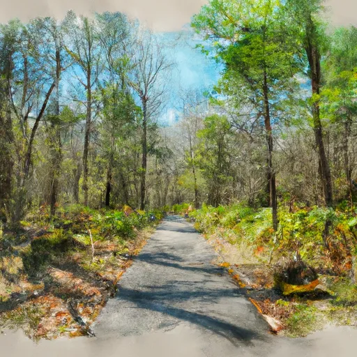
Trails in William B Bankhead National Forest
Named trails whose route falls inside the park.
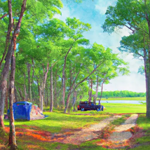
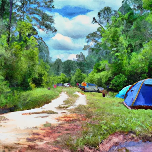
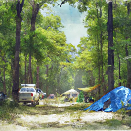
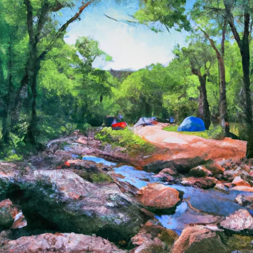
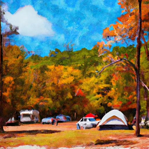
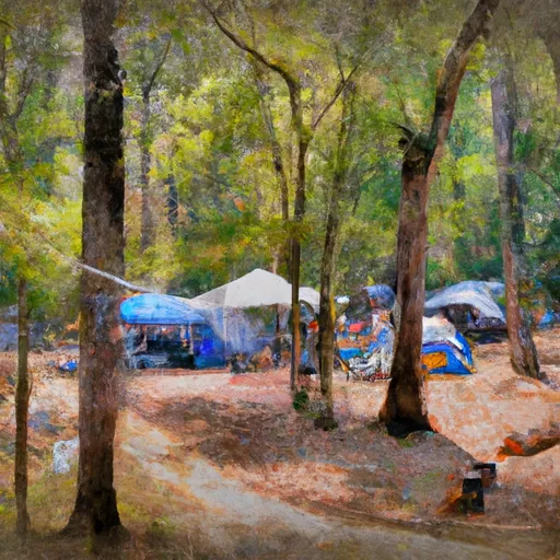
Camping in William B Bankhead National Forest
Campgrounds inside the park, with today's conditions score.

Points of interest in William B Bankhead National Forest
Landmarks and points of interest inside the park boundary.

Plan your visit down to the hour
Same weather feed Snoflo's iOS app uses -- updated continuously from NOAA / yr.no.
Next 5 days, hour by hour
Temperature line with weather symbols on top, snow + rain accumulation as columns, humidity as a dotted line.
5-day forecast table
Every 3 hours, broken out across temperature, snow, rain, humidity, and wind.
| Time | Condition | Temp (°F) | Snow (in) | Rain (in) | Humidity (%) | Wind (mps) | Wind dir |
|---|---|---|---|---|---|---|---|
| Loading detailed forecast… | |||||||
15-day temperature & precipitation
Daily temperatures, snow, and rain projected over the next two weeks.
Responsible recreation & Leave No Trace
- Know before you go
- Check the operator's site for hours, permit requirements, seasonal closures, and fire restrictions before heading out.
- Stay on trail
- Stick to marked paths to protect vegetation, prevent erosion, and avoid disturbing wildlife habitat.
- Respect wildlife
- Observe from a distance, never feed wildlife, and store food securely if camping is permitted on-site.
- Pack it in, pack it out
- Carry out all trash, food scraps, and gear. Many parks have limited or no trash service.
- Leave what you find
- Don't take rocks, plants, or artifacts. They make the park what it is for the next visitor.
Set push alerts in the Snoflo app
Save William B Bankhead National Forest as a favorite, set a custom threshold (precipitation, freezing temperatures, fire-restriction days), and the iOS app will push the moment conditions cross.
About William B Bankhead National Forest
What can I do at William B Bankhead National Forest?
Most Snoflo-tracked parks support hiking, picnicking, and wildlife viewing. Check the operator's site for activity-specific rules (camping, fishing, paddling, hunting).
How fresh is the weather data?
The hourly forecast updates throughout the day from NOAA / yr.no. Streamflow comes live from USGS streamgauges.
When is the best time to visit?
Use the 15-day temperature & precipitation outlook on this page to plan -- pick a window with comfortable temperatures and low precipitation.
How do I get to William B Bankhead National Forest?
Tap Directions in the hero above to open driving directions in Google Maps, or Open in map to center the Snoflo interactive map on the park.
Can I get alerts when conditions change?
Yes -- alerts are managed in the Snoflo iOS app. Favorite this park, set a threshold (temperature, precipitation), and you'll get a push the moment it crosses.
Park & land designation reference
A quick legend for the federal and state land categories Snoflo tracks. Each designation comes with different rules around access, recreation, and resource extraction.
- National Park
- Large protected natural areas managed by the federal government to preserve significant landscapes, ecosystems, and cultural resources; recreation is allowed but conservation is the priority.
- State Park
- Public natural or recreational areas managed by a state government, typically smaller than national parks and focused on regional natural features, recreation, and education.
- Local Park
- Community-level parks managed by cities or counties, emphasizing recreation, playgrounds, sports, and green space close to populated areas.
- Wilderness Area
- The highest level of land protection in the U.S.; designated areas where nature is left essentially untouched, with no roads, structures, or motorized motorized access permitted.
- National Recreation Area
- Areas set aside primarily for outdoor recreation (boating, hiking, fishing, often around reservoirs, rivers, or scenic landscapes); may allow more development.
- National Conservation Area (BLM)
- BLM-managed areas with special ecological, cultural, or scientific value; more protection than typical BLM land but less strict than Wilderness Areas.
- State Forest
- State-managed forests focused on habitat, watershed, recreation, and sustainable timber harvest.
- Bureau of Land Management (BLM) Land
- Vast federal lands managed for mixed use -- recreation, grazing, mining, conservation -- with fewer restrictions than national parks or forests.