Summary
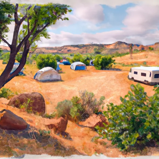
Visitors to the area can enjoy hiking, birdwatching, and camping, among other activities. The canyon is home to a variety of flora and fauna, including over 200 bird species, desert bighorn sheep, and several species of cactus.
Some specific points of interest within the canyon include the Aravaipa Creek, which provides a habitat for several species of fish, as well as the towering cliffs and rock formations that line the canyon walls. Additionally, visitors can explore the ruins of ancient Native American settlements, including the well-preserved Kielberg site.
Interesting facts about Aravaipa Canyon Wilderness include its designation as a wilderness area in 1984 and its status as one of the last free-flowing streams in Arizona. The canyon is also home to several rare and endangered species, including the narrow-headed garter snake and the southwestern willow flycatcher.
The best time to visit Aravaipa Canyon Wilderness is typically in the spring or fall, when temperatures are mild and the vegetation is in full bloom. However, visitors should be aware that flash floods can occur in the canyon during the summer monsoon season, and winter temperatures can be quite cold.
°F
°F
mph
Wind
%
Humidity
15-Day Weather Outlook
5-Day Hourly Forecast Detail
Park & Land Designation Reference
Large protected natural areas managed by the federal government to preserve significant landscapes, ecosystems, and cultural resources; recreation is allowed but conservation is the priority.
State Park
Public natural or recreational areas managed by a state government, typically smaller than national parks and focused on regional natural features, recreation, and education.
Local Park
Community-level parks managed by cities or counties, emphasizing recreation, playgrounds, sports, and green space close to populated areas.
Wilderness Area
The highest level of land protection in the U.S.; designated areas where nature is left essentially untouched, with no roads, structures, or motorized access permitted.
National Recreation Area
Areas set aside primarily for outdoor recreation (boating, hiking, fishing), often around reservoirs, rivers, or scenic landscapes; may allow more development.
National Conservation Area (BLM)
BLM-managed areas with special ecological, cultural, or scientific value; more protection than typical BLM land but less strict than Wilderness Areas.
State Forest
State-managed forests focused on habitat, watershed, recreation, and sustainable timber harvest.
National Forest
Federally managed lands focused on multiple use—recreation, wildlife habitat, watershed protection, and resource extraction (like timber)—unlike the stricter protections of national parks.
Wilderness
A protected area set aside to conserve specific resources—such as wildlife, habitats, or scientific features—with regulations varying widely depending on the managing agency and purpose.
Bureau of Land Management (BLM) Land
Vast federal lands managed for mixed use—recreation, grazing, mining, conservation—with fewer restrictions than national parks or forests.
Related References
Area Campgrounds
| Location | Reservations | Toilets |
|---|---|---|
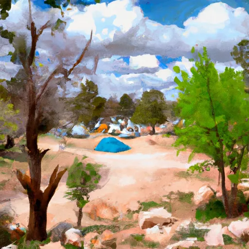 Turkey Creek Camp Sites
|
||
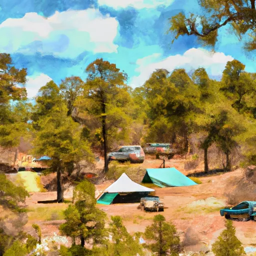 Fourmile Campground
|
||
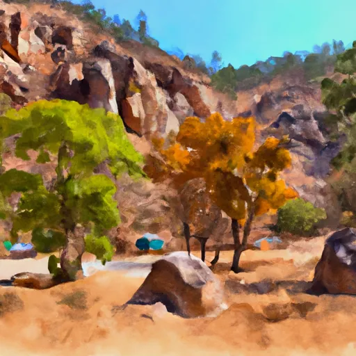 Fourmile Canyon Campground
|
||
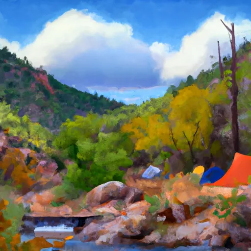 Fourmile Canyon
|
||
 Brandenburg Campground
|
