Cabeza Prieta Wilderness
Community Reviews
Been here? Share the conditions.
Reviews, ratings & photos are added in the free Snoflo iOS app — rate a spot, tag the conditions, and your visit is verified by location. Add or manage your reviews from the app.

Cabeza Prieta Wilderness
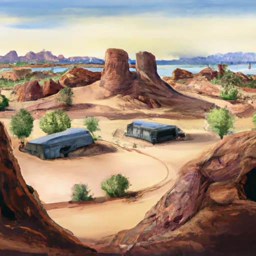
One of the main reasons to visit Cabeza Prieta Wilderness is to experience the natural beauty of the Sonoran Desert. The area is home to a wide variety of desert plants and animals, including saguaro cactus, desert tortoises, bighorn sheep, and golden eagles. Visitors can also explore ancient Native American ruins, historic mining sites, and other cultural landmarks scattered throughout the wilderness area.
Some specific points of interest to see in Cabeza Prieta Wilderness include the Tinajas Altas Mountains, which offer stunning views of the surrounding desert landscape, and the Growler Mountains, which are known for their unique rock formations and hiking trails. Visitors can also explore several historic sites, including the abandoned mining town of Papago Well and the remains of an old stagecoach stop at Coyote Tanks.
Interesting facts about Cabeza Prieta Wilderness include that it is one of the largest designated wilderness areas in the United States and is home to several endangered species, including the Sonoran pronghorn and the desert bighorn sheep. The area also contains several military installations, including the Barry M. Goldwater Air Force Range, which is used for bombing practice and other military training exercises.
The best time of year to visit Cabeza Prieta Wilderness is during the cooler months of the year, typically from October to April. Summers can be extremely hot, with temperatures often exceeding 100 degrees Fahrenheit, and the area is prone to flash floods during the monsoon season from July to September.
Overall, Cabeza Prieta Wilderness is a unique and fascinating destination for anyone interested in exploring the natural beauty and cultural history of the Southwest. Visitors should come prepared for rugged terrain and extreme weather conditions, but the rewards of experiencing this remote and untouched wilderness area are well worth the effort.
Camping in Cabeza Prieta Wilderness
Campgrounds inside the park, with today's conditions score.
Plan your visit down to the hour
Same weather feed Snoflo's iOS app uses -- updated continuously from NOAA / yr.no.
Next 5 days, hour by hour
Temperature line with weather symbols on top, snow + rain accumulation as columns, humidity as a dotted line.
5-day forecast table
Every 3 hours, broken out across temperature, snow, rain, humidity, and wind.
| Time | Condition | Temp (°F) | Snow (in) | Rain (in) | Humidity (%) | Wind (mps) | Wind dir |
|---|---|---|---|---|---|---|---|
| Loading detailed forecast… | |||||||
15-day temperature & precipitation
Daily temperatures, snow, and rain projected over the next two weeks.
Responsible recreation & Leave No Trace
- Know before you go
- Check the operator's site for hours, permit requirements, seasonal closures, and fire restrictions before heading out.
- Stay on trail
- Stick to marked paths to protect vegetation, prevent erosion, and avoid disturbing wildlife habitat.
- Respect wildlife
- Observe from a distance, never feed wildlife, and store food securely if camping is permitted on-site.
- Pack it in, pack it out
- Carry out all trash, food scraps, and gear. Many parks have limited or no trash service.
- Leave what you find
- Don't take rocks, plants, or artifacts. They make the park what it is for the next visitor.
Set push alerts in the Snoflo app
Save Cabeza Prieta Wilderness as a favorite, set a custom threshold (precipitation, freezing temperatures, fire-restriction days), and the iOS app will push the moment conditions cross.
About Cabeza Prieta Wilderness
What can I do at Cabeza Prieta Wilderness?
Most Snoflo-tracked parks support hiking, picnicking, and wildlife viewing. Check the operator's site for activity-specific rules (camping, fishing, paddling, hunting).
How fresh is the weather data?
The hourly forecast updates throughout the day from NOAA / yr.no. Streamflow comes live from USGS streamgauges.
When is the best time to visit?
Use the 15-day temperature & precipitation outlook on this page to plan -- pick a window with comfortable temperatures and low precipitation.
How do I get to Cabeza Prieta Wilderness?
Tap Directions in the hero above to open driving directions in Google Maps, or Open in map to center the Snoflo interactive map on the park.
Can I get alerts when conditions change?
Yes -- alerts are managed in the Snoflo iOS app. Favorite this park, set a threshold (temperature, precipitation), and you'll get a push the moment it crosses.
Park & land designation reference
A quick legend for the federal and state land categories Snoflo tracks. Each designation comes with different rules around access, recreation, and resource extraction.
- National Park
- Large protected natural areas managed by the federal government to preserve significant landscapes, ecosystems, and cultural resources; recreation is allowed but conservation is the priority.
- State Park
- Public natural or recreational areas managed by a state government, typically smaller than national parks and focused on regional natural features, recreation, and education.
- Local Park
- Community-level parks managed by cities or counties, emphasizing recreation, playgrounds, sports, and green space close to populated areas.
- Wilderness Area
- The highest level of land protection in the U.S.; designated areas where nature is left essentially untouched, with no roads, structures, or motorized motorized access permitted.
- National Recreation Area
- Areas set aside primarily for outdoor recreation (boating, hiking, fishing, often around reservoirs, rivers, or scenic landscapes); may allow more development.
- National Conservation Area (BLM)
- BLM-managed areas with special ecological, cultural, or scientific value; more protection than typical BLM land but less strict than Wilderness Areas.
- State Forest
- State-managed forests focused on habitat, watershed, recreation, and sustainable timber harvest.
- Bureau of Land Management (BLM) Land
- Vast federal lands managed for mixed use -- recreation, grazing, mining, conservation -- with fewer restrictions than national parks or forests.