Summary
The site is home to several endangered species, including the Mexican long-nosed bat and the black-tailed prairie dog. The area is also known for its unique geology, including exposed rock formations and ancient lava flows.
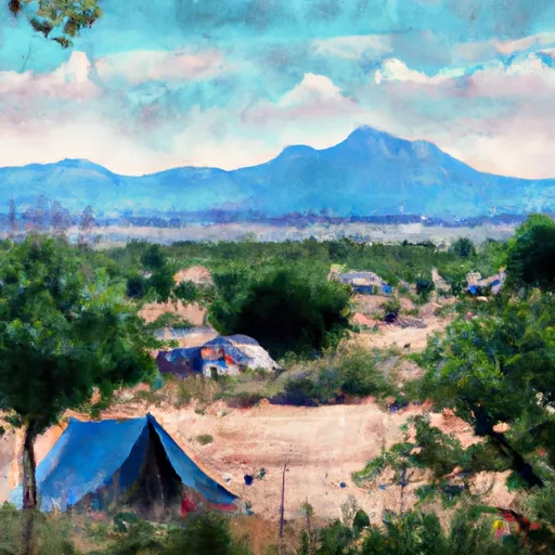
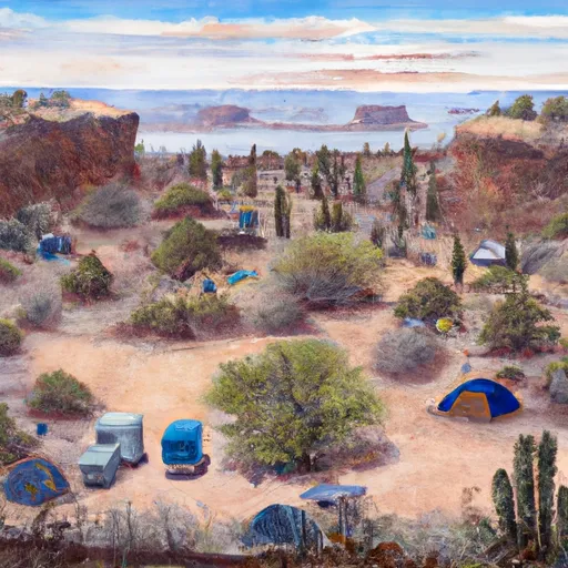
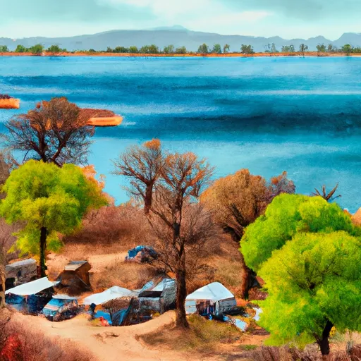
There are many reasons to visit Las Cienegas National Conservation Area, including its natural beauty, wildlife, and recreational opportunities. Visitors can enjoy hiking, birdwatching, and horseback riding on trails that wind through the grasslands and wetlands. The area is also popular for camping and picnicking.
Some of the points of interest in Las Cienegas National Conservation Area include the Empire Ranch, a historic cattle ranch that has been preserved as a museum, and the ruins of a Hohokam village that dates back over 1,000 years. The site also features several natural springs, including Cienega Creek and Sonoita Creek, which provide important habitat for a variety of plants and animals.
One interesting fact about Las Cienegas National Conservation Area is that it is one of only two sites in the world where the masked bobwhite quail can be found. This rare bird was once thought to be extinct, but a small population was discovered in the grasslands of the conservation area in the 1960s.
The best time of year to visit Las Cienegas National Conservation Area is in the spring, when the wildflowers are in bloom and the weather is mild. However, visitors should be prepared for hot temperatures in the summer and cold temperatures in the winter.
°F
°F
mph
Wind
%
Humidity
15-Day Weather Outlook
5-Day Hourly Forecast Detail
Park & Land Designation Reference
Large protected natural areas managed by the federal government to preserve significant landscapes, ecosystems, and cultural resources; recreation is allowed but conservation is the priority.
State Park
Public natural or recreational areas managed by a state government, typically smaller than national parks and focused on regional natural features, recreation, and education.
Local Park
Community-level parks managed by cities or counties, emphasizing recreation, playgrounds, sports, and green space close to populated areas.
Wilderness Area
The highest level of land protection in the U.S.; designated areas where nature is left essentially untouched, with no roads, structures, or motorized access permitted.
National Recreation Area
Areas set aside primarily for outdoor recreation (boating, hiking, fishing), often around reservoirs, rivers, or scenic landscapes; may allow more development.
National Conservation Area (BLM)
BLM-managed areas with special ecological, cultural, or scientific value; more protection than typical BLM land but less strict than Wilderness Areas.
State Forest
State-managed forests focused on habitat, watershed, recreation, and sustainable timber harvest.
National Forest
Federally managed lands focused on multiple use—recreation, wildlife habitat, watershed protection, and resource extraction (like timber)—unlike the stricter protections of national parks.
Wilderness
A protected area set aside to conserve specific resources—such as wildlife, habitats, or scientific features—with regulations varying widely depending on the managing agency and purpose.
Bureau of Land Management (BLM) Land
Vast federal lands managed for mixed use—recreation, grazing, mining, conservation—with fewer restrictions than national parks or forests.
Related References
Area Campgrounds
| Location | Reservations | Toilets |
|---|---|---|
 Apache Flats Military - Fort Huachuca
|
||
 Rock Bluff Group Site
|
||
 Lakeview
|
||
 Garden Canyon Military - Fort Huachuca
|
