Wilderness Chiricahua
Community Reviews
Been here? Share the conditions.
Reviews, ratings & photos are added in the free Snoflo iOS app — rate a spot, tag the conditions, and your visit is verified by location. Add or manage your reviews from the app.

Wilderness Chiricahua
Reasons to Visit:
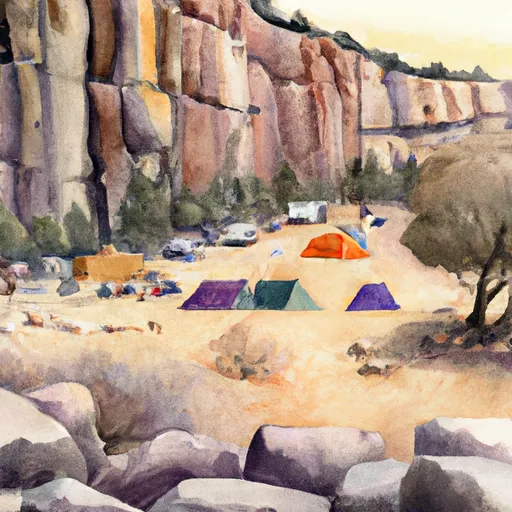
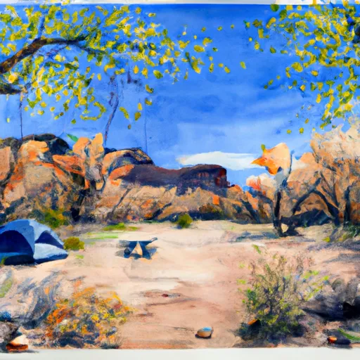
1. Spectacular Rock Formations: The Chiricahua Wilderness is known for its extraordinary rock formations, which have been shaped by volcanic eruptions and erosion over millions of years. These towering formations, often referred to as the "Wonderland of Rocks," offer breathtaking scenery and incredible photo opportunities.
2. Biodiversity: The wilderness is home to an array of plant and animal species, creating an excellent opportunity for wildlife enthusiasts and nature lovers. It is a critical habitat for various species such as coatimundi, black bears, white-nosed coati, and over 350 bird species, including the elegant trogon and painted redstart.
3. Hiking and Outdoor Activities: The Chiricahua Wilderness offers a network of trails that wind through stunning landscapes, providing ample opportunities for hiking, backpacking, and wildlife viewing. With trails ranging from easy strolls to more challenging routes, visitors of all skill levels can explore and enjoy the area's natural wonders.
Points of Interest:
1. Echo Canyon Trail: This popular trail takes hikers through Echo Park, an area known for its towering rock formations, balanced rocks, and narrow canyons. The trail offers breathtaking views and allows visitors to experience the unique acoustics of the canyon.
2. Massai Point: Located at an altitude of 6,870 feet, Massai Point is a scenic overlook providing panoramic views of the Chiricahua Wilderness. Visitors can witness the vastness of the rock formations and the surrounding wilderness from this breathtaking vantage point.
3. Faraway Ranch Historic District: Situated within the wilderness area, this historic district preserves the historic Faraway Ranch, which was established in the late 19th century. Visitors can explore the preserved buildings, learn about the history of the pioneers who settled in the area, and gain insights into ranching life at the time.
Interesting Facts:
1. The Chiricahua Wilderness covers an area of approximately 87,700 acres within the Coronado National Forest.
2. The rock formations found in the wilderness are composed of tuff, a type of volcanic ash that consolidated into solid rock over time.
3. The area has significant cultural and historical importance, as it was once part of the homeland of the Chiricahua Apache Native American tribe.
Best Time to Visit:
The best time to visit the Chiricahua Wilderness is during the spring (March to May) and fall (September to November) when the weather is pleasant and the foliage displays vibrant colors. Summers can be hot, with temperatures exceeding 90°F (32°C), while winters can be cold, with occasional snowfall. It is advisable to check local weather conditions, carry sufficient water, and be prepared for changes in temperature during your visit.
Please note that while efforts have been made to ensure accuracy, it is always best to verify the information from multiple independent sources and check for any updates or changes before planning a visit to the Chiricahua Wilderness.
Trails in Wilderness Chiricahua
Named trails whose route falls inside the park.
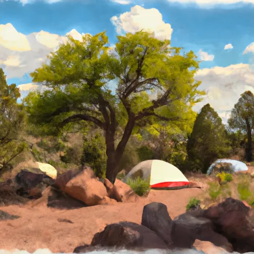
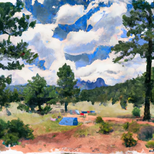
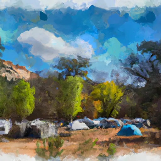
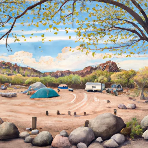
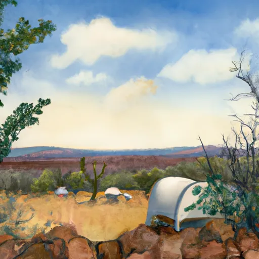
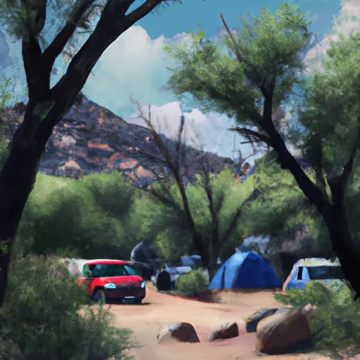
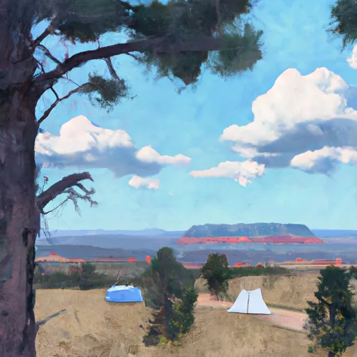
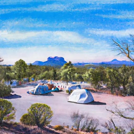
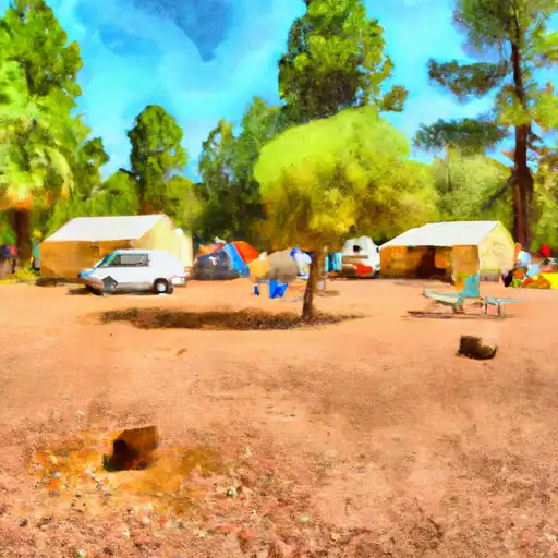
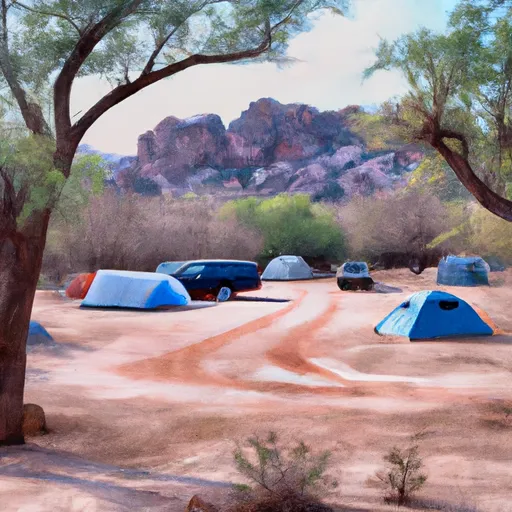
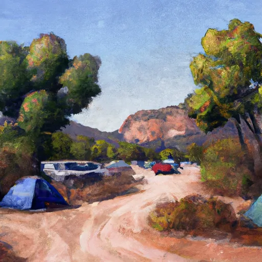
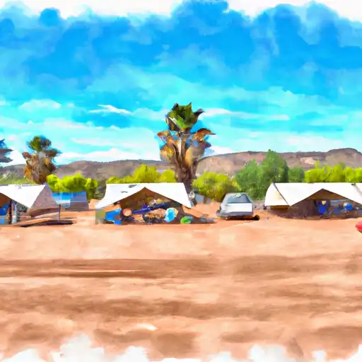
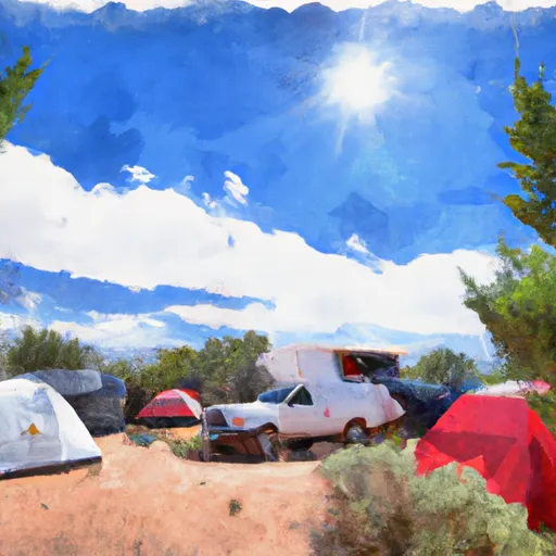
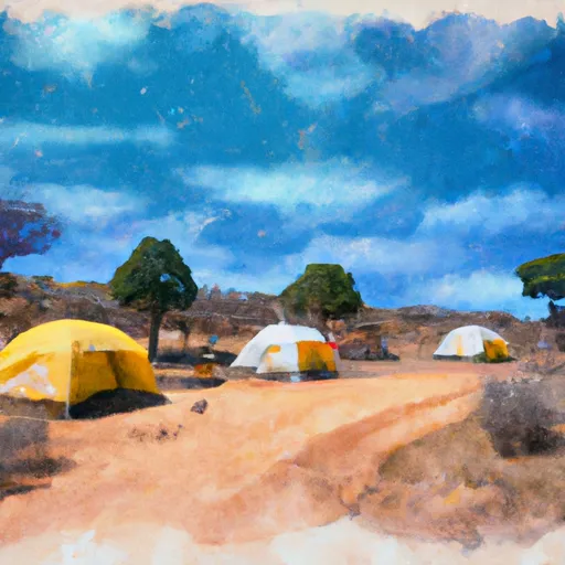
Camping in Wilderness Chiricahua
Campgrounds inside the park, with today's conditions score.


Plan your visit down to the hour
Same weather feed Snoflo's iOS app uses -- updated continuously from NOAA / yr.no.
Next 5 days, hour by hour
Temperature line with weather symbols on top, snow + rain accumulation as columns, humidity as a dotted line.
5-day forecast table
Every 3 hours, broken out across temperature, snow, rain, humidity, and wind.
| Time | Condition | Temp (°F) | Snow (in) | Rain (in) | Humidity (%) | Wind (mps) | Wind dir |
|---|---|---|---|---|---|---|---|
| Loading detailed forecast… | |||||||
15-day temperature & precipitation
Daily temperatures, snow, and rain projected over the next two weeks.
Responsible recreation & Leave No Trace
- Know before you go
- Check the operator's site for hours, permit requirements, seasonal closures, and fire restrictions before heading out.
- Stay on trail
- Stick to marked paths to protect vegetation, prevent erosion, and avoid disturbing wildlife habitat.
- Respect wildlife
- Observe from a distance, never feed wildlife, and store food securely if camping is permitted on-site.
- Pack it in, pack it out
- Carry out all trash, food scraps, and gear. Many parks have limited or no trash service.
- Leave what you find
- Don't take rocks, plants, or artifacts. They make the park what it is for the next visitor.
Set push alerts in the Snoflo app
Save Wilderness Chiricahua as a favorite, set a custom threshold (precipitation, freezing temperatures, fire-restriction days), and the iOS app will push the moment conditions cross.
About Wilderness Chiricahua
What can I do at Wilderness Chiricahua?
Most Snoflo-tracked parks support hiking, picnicking, and wildlife viewing. Check the operator's site for activity-specific rules (camping, fishing, paddling, hunting).
How fresh is the weather data?
The hourly forecast updates throughout the day from NOAA / yr.no. Streamflow comes live from USGS streamgauges.
When is the best time to visit?
Use the 15-day temperature & precipitation outlook on this page to plan -- pick a window with comfortable temperatures and low precipitation.
How do I get to Wilderness Chiricahua?
Tap Directions in the hero above to open driving directions in Google Maps, or Open in map to center the Snoflo interactive map on the park.
Can I get alerts when conditions change?
Yes -- alerts are managed in the Snoflo iOS app. Favorite this park, set a threshold (temperature, precipitation), and you'll get a push the moment it crosses.
Park & land designation reference
A quick legend for the federal and state land categories Snoflo tracks. Each designation comes with different rules around access, recreation, and resource extraction.
- National Park
- Large protected natural areas managed by the federal government to preserve significant landscapes, ecosystems, and cultural resources; recreation is allowed but conservation is the priority.
- State Park
- Public natural or recreational areas managed by a state government, typically smaller than national parks and focused on regional natural features, recreation, and education.
- Local Park
- Community-level parks managed by cities or counties, emphasizing recreation, playgrounds, sports, and green space close to populated areas.
- Wilderness Area
- The highest level of land protection in the U.S.; designated areas where nature is left essentially untouched, with no roads, structures, or motorized motorized access permitted.
- National Recreation Area
- Areas set aside primarily for outdoor recreation (boating, hiking, fishing, often around reservoirs, rivers, or scenic landscapes); may allow more development.
- National Conservation Area (BLM)
- BLM-managed areas with special ecological, cultural, or scientific value; more protection than typical BLM land but less strict than Wilderness Areas.
- State Forest
- State-managed forests focused on habitat, watershed, recreation, and sustainable timber harvest.
- Bureau of Land Management (BLM) Land
- Vast federal lands managed for mixed use -- recreation, grazing, mining, conservation -- with fewer restrictions than national parks or forests.