Summary
Situated in the southeastern part of the state, it is part of the Coronado National Forest and provides visitors with an opportunity to explore nature at its finest.
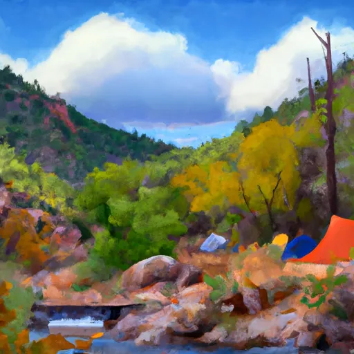
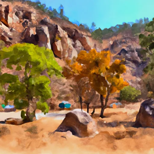
One of the primary reasons to visit Wilderness Santa Teresa is its stunning natural beauty. The area boasts breathtaking vistas, rolling hills, picturesque canyons, and a variety of plant and animal life. Hiking enthusiasts will find numerous trails to embark on, offering opportunities for both leisurely walks and challenging treks.
Among the specific points of interest to see within the Wilderness Santa Teresa area is the Santa Teresa Wilderness itself. Covering approximately 48,000 acres, this wilderness area is known for its rugged terrain and diverse ecosystems. Visitors can witness the unique characteristics of the Chihuahuan Desert, including its distinct desert flora and fauna.
Another noteworthy point of interest in the region is the Miller Peak Wilderness. This wilderness area is home to Miller Peak, the highest point in the Huachuca Mountains. Hiking to the summit provides panoramic views of the surrounding landscapes, including the San Pedro River Valley and the Sonoran Desert.
In terms of interesting facts about the area, Wilderness Santa Teresa has a rich historical background. The region was once inhabited by various Native American tribes, including the Chiricahua Apache. Evidence of their presence, such as petroglyphs and artifacts, can still be found in some areas. Additionally, the area was part of the Butterfield Overland Mail Route in the mid-1800s, which was an important stagecoach route connecting the East and West coasts of the United States.
The best time of year to visit Wilderness Santa Teresa depends on personal preferences and activities sought. However, the fall and spring seasons generally offer more pleasant temperatures, making them ideal for outdoor activities. Summers can be quite hot, while winters bring cooler temperatures and occasional snowfall, which may limit certain recreational opportunities.
It is essential to note that the accuracy of this summary may vary, and it is always recommended to verify information across multiple independent sources when planning a visit to Wilderness Santa Teresa in Arizona.
°F
°F
mph
Wind
%
Humidity
15-Day Weather Outlook
5-Day Hourly Forecast Detail
Park & Land Designation Reference
Large protected natural areas managed by the federal government to preserve significant landscapes, ecosystems, and cultural resources; recreation is allowed but conservation is the priority.
State Park
Public natural or recreational areas managed by a state government, typically smaller than national parks and focused on regional natural features, recreation, and education.
Local Park
Community-level parks managed by cities or counties, emphasizing recreation, playgrounds, sports, and green space close to populated areas.
Wilderness Area
The highest level of land protection in the U.S.; designated areas where nature is left essentially untouched, with no roads, structures, or motorized access permitted.
National Recreation Area
Areas set aside primarily for outdoor recreation (boating, hiking, fishing), often around reservoirs, rivers, or scenic landscapes; may allow more development.
National Conservation Area (BLM)
BLM-managed areas with special ecological, cultural, or scientific value; more protection than typical BLM land but less strict than Wilderness Areas.
State Forest
State-managed forests focused on habitat, watershed, recreation, and sustainable timber harvest.
National Forest
Federally managed lands focused on multiple use—recreation, wildlife habitat, watershed protection, and resource extraction (like timber)—unlike the stricter protections of national parks.
Wilderness
A protected area set aside to conserve specific resources—such as wildlife, habitats, or scientific features—with regulations varying widely depending on the managing agency and purpose.
Bureau of Land Management (BLM) Land
Vast federal lands managed for mixed use—recreation, grazing, mining, conservation—with fewer restrictions than national parks or forests.
Related References
Area Campgrounds
| Location | Reservations | Toilets |
|---|---|---|
 Fourmile Canyon
|
||
 Fourmile Canyon Campground
|
||
 Fourmile Campground
|
||
 Turkey Creek Camp Sites
|
