Devils Postpile National Monument
Leave a RatingLast Updated: February 22, 2026
Devils Postpile National Monument is located in the eastern Sierra Nevada Mountains of California, near Mammoth Lakes.
Summary
The monument is known for its unique geological formations, including towering basalt columns that resemble a giant pipe organ.
Visitors to Devils Postpile can enjoy a variety of outdoor activities, including hiking, fishing, and camping. The monument is also home to a number of scenic vistas and trails, including the popular Rainbow Falls Trail, which offers stunning views of a 101-foot waterfall.
One interesting fact about Devils Postpile is that it was once slated for development as a hydroelectric power plant. However, thanks to the efforts of conservationists, the area was ultimately saved and designated as a national monument in 1911.
The best time of year to visit Devils Postpile is during the summer months, when the weather is mild and the trails are open. However, visitors should be aware that the monument can be crowded during peak season, and may require a permit or reservation to access certain areas.
Overall, Devils Postpile National Monument is a unique and beautiful destination for nature lovers and outdoor enthusiasts alike, with plenty of opportunities to explore and discover the natural wonders of the Sierra Nevada Mountains.
°F
°F
mph
Wind
%
Humidity
15-Day Weather Outlook
5-Day Hourly Forecast Detail
Park & Land Designation Reference
Large protected natural areas managed by the federal government to preserve significant landscapes, ecosystems, and cultural resources; recreation is allowed but conservation is the priority.
State Park
Public natural or recreational areas managed by a state government, typically smaller than national parks and focused on regional natural features, recreation, and education.
Local Park
Community-level parks managed by cities or counties, emphasizing recreation, playgrounds, sports, and green space close to populated areas.
Wilderness Area
The highest level of land protection in the U.S.; designated areas where nature is left essentially untouched, with no roads, structures, or motorized access permitted.
National Recreation Area
Areas set aside primarily for outdoor recreation (boating, hiking, fishing), often around reservoirs, rivers, or scenic landscapes; may allow more development.
National Conservation Area (BLM)
BLM-managed areas with special ecological, cultural, or scientific value; more protection than typical BLM land but less strict than Wilderness Areas.
State Forest
State-managed forests focused on habitat, watershed, recreation, and sustainable timber harvest.
National Forest
Federally managed lands focused on multiple use—recreation, wildlife habitat, watershed protection, and resource extraction (like timber)—unlike the stricter protections of national parks.
Wilderness
A protected area set aside to conserve specific resources—such as wildlife, habitats, or scientific features—with regulations varying widely depending on the managing agency and purpose.
Bureau of Land Management (BLM) Land
Vast federal lands managed for mixed use—recreation, grazing, mining, conservation—with fewer restrictions than national parks or forests.
Related References
Area Campgrounds
| Location | Reservations | Toilets |
|---|---|---|
 Reds Meadow
|
||
 Reds Meadow Campground (Seasonal)
|
||
 Reds Meadow Campground
|
||
 Minaret Falls Campground (Seasonal)
|
||
 Minaret Falls
|
||
 Minaret Falls Campground
|

 Owens River Headwaters Wilderness
 Mammoth Creek Community Park
 Trails End Park
 Lake Mary Fishing Site
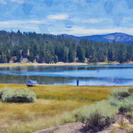 Lake Mary
 Twin Lakes (Mammoth Lakes)
 Deer Lakes
 Ediza Lake