
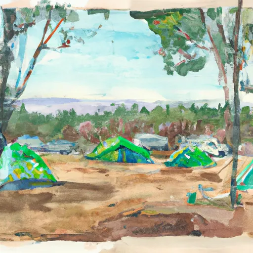
Oyster Bay Regional Shoreline
Rate this placeNearby: Mulford Park Warden Avenue Park
Last Updated: January 11, 2026
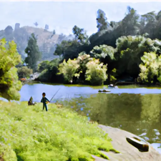
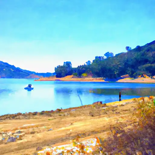
Oyster Bay Regional Shoreline is a picturesque park located in San Leandro, California.
°F
°F
mph
Wind
%
Humidity
Summary
It is spread over an area of 33 acres and offers stunning views of the San Francisco Bay. There are several good reasons to visit Oyster Bay Regional Shoreline, including hiking, birdwatching, kayaking, and picnicking. The park is home to a variety of birds, including the Snowy Egret, Osprey, and Black-crowned Night Heron. Visitors can also explore the park's tidal marsh, which is a habitat for a variety of marine life.
One of the main points of interest at Oyster Bay Regional Shoreline is the 2.5-mile long Bay Trail, which offers scenic views of the bay and is perfect for hiking and biking. Visitors can also explore the historic Oyster Bay Regional Shoreline Wharf, which was once a busy port for oyster and clam boats. The wharf has been restored and is now a popular spot for fishing.
Interesting facts about Oyster Bay Regional Shoreline include that the park was once a landfill site and was converted into a park in the 1990s. The park is also a habitat for several endangered species, including the California Clapper Rail and the Salt Marsh Harvest Mouse.
The best time of year to visit Oyster Bay Regional Shoreline is during the spring and fall when the weather is mild, and there are fewer crowds. The park is open year-round and is free to enter. Visitors should note that dogs are not allowed in the park.
Overall, Oyster Bay Regional Shoreline is a beautiful and peaceful park that is perfect for a day trip or a weekend getaway. Its stunning views, diverse wildlife, and interesting history make it a must-visit destination for nature lovers and history buffs alike.
Weather Forecast
Park & Land Designation Reference
Large protected natural areas managed by the federal government to preserve significant landscapes, ecosystems, and cultural resources; recreation is allowed but conservation is the priority.
State Park
Public natural or recreational areas managed by a state government, typically smaller than national parks and focused on regional natural features, recreation, and education.
Local Park
Community-level parks managed by cities or counties, emphasizing recreation, playgrounds, sports, and green space close to populated areas.
Wilderness Area
The highest level of land protection in the U.S.; designated areas where nature is left essentially untouched, with no roads, structures, or motorized access permitted.
National Recreation Area
Areas set aside primarily for outdoor recreation (boating, hiking, fishing), often around reservoirs, rivers, or scenic landscapes; may allow more development.
National Conservation Area (BLM)
BLM-managed areas with special ecological, cultural, or scientific value; more protection than typical BLM land but less strict than Wilderness Areas.
State Forest
State-managed forests focused on habitat, watershed, recreation, and sustainable timber harvest.
National Forest
Federally managed lands focused on multiple use—recreation, wildlife habitat, watershed protection, and resource extraction (like timber)—unlike the stricter protections of national parks.
Wilderness
A protected area set aside to conserve specific resources—such as wildlife, habitats, or scientific features—with regulations varying widely depending on the managing agency and purpose.
Bureau of Land Management (BLM) Land
Vast federal lands managed for mixed use—recreation, grazing, mining, conservation—with fewer restrictions than national parks or forests.
Related References
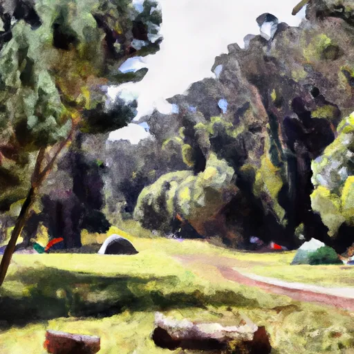
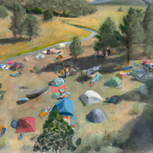
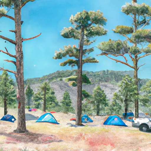
Area Campgrounds
| Location | Reservations | Toilets |
|---|---|---|
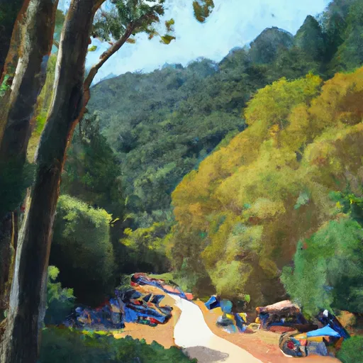 Anthony Chabot Family Campground
|
||
 Anthony Chabot Regional Park
|
||
 Bort Meadow Group Camp
|
||
 Pal Camp
|
||
 Girls Camp
|
||
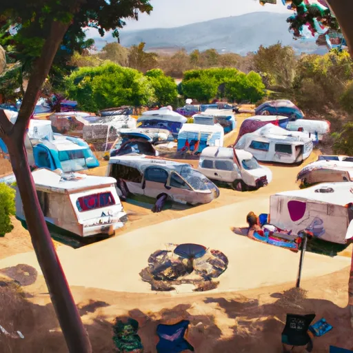 Candlestick RV Park
|
 Mulford Park
 Warden Avenue Park
 Cleveland Park
 Cherry Grove Park
 Columbian Gardens Park
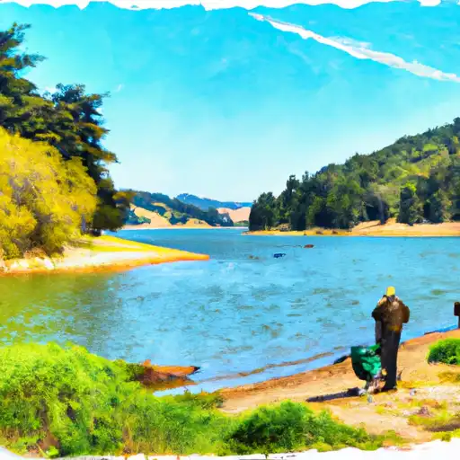 Chabot Lake
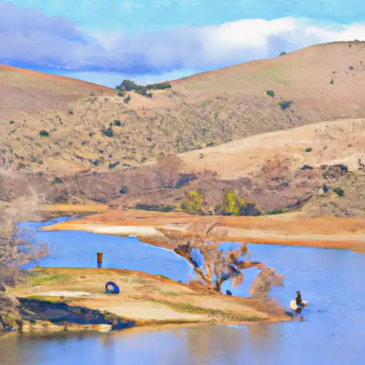 Almond Reservoir
 Lake Temescal
 Lafayette Reservoir