Wilderness Sequoia-Kings Canyon
Community Reviews
Been here? Share the conditions.
Reviews, ratings & photos are added in the free Snoflo iOS app — rate a spot, tag the conditions, and your visit is verified by location. Add or manage your reviews from the app.

Wilderness Sequoia-Kings Canyon
One of the main reasons to visit this area is to witness the awe-inspiring giant sequoia trees, which are some of the largest and oldest living organisms on Earth. These magnificent trees can reach heights of over 300 feet and have a lifespan of 3,000 years. The General Sherman Tree, located in the Giant Forest of Sequoia National Park, is the largest tree by volume on the planet, making it a must-see attraction.
Apart from the sequoias, the parks offer a diverse range of natural wonders to explore. Visitors can marvel at the breathtaking Kings Canyon, one of the deepest canyons in North America, which features stunning granite cliffs, cascading waterfalls, and lush vegetation. The picturesque Crystal Cave in Sequoia National Park is another popular attraction, where visitors can explore stunning underground formations on guided tours.
Wildlife enthusiasts will be delighted to know that the Wilderness Sequoia-Kings Canyon is home to an incredible variety of animal species. From black bears and mountain lions to mule deer and bighorn sheep, the parks offer ample opportunities for wildlife spotting and photography.
In terms of interesting facts, the General Sherman Tree, as mentioned earlier, is not only the largest tree but also holds the title for the largest living organism by volume. Additionally, the parks protect over 800 miles of trails, making it a paradise for hikers and backpackers. The area also boasts the highest peak in the contiguous United States, Mount Whitney, which stands at an impressive height of 14,505 feet.
The best time to visit Wilderness Sequoia-Kings Canyon depends on personal preferences and desired activities. Summer (June to September) is the most popular time, with warm weather and access to high-elevation trails and camping areas. However, this also means larger crowds. Spring (April to June) offers beautiful wildflower displays, while fall (September to November) provides stunning autumn foliage. Winter (December to March) brings snow-covered landscapes and opportunities for winter sports like snowshoeing and cross-country skiing, but some areas may be inaccessible due to snowfall.
To ensure accuracy, it is recommended to verify the information provided by cross-referencing multiple independent sources such as official National Park websites, travel guides, and reputable outdoor publications.
Snowpack in Wilderness Sequoia-Kings Canyon
Current snow depth at SNOTEL stations inside the park boundary.
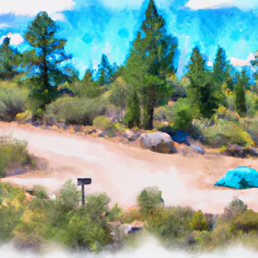
Trails in Wilderness Sequoia-Kings Canyon
Named trails whose route falls inside the park.
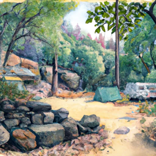
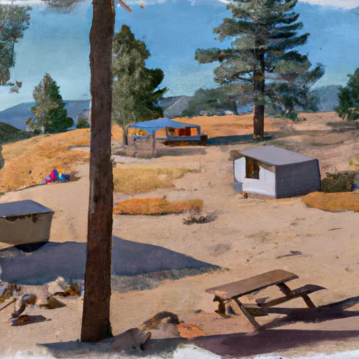
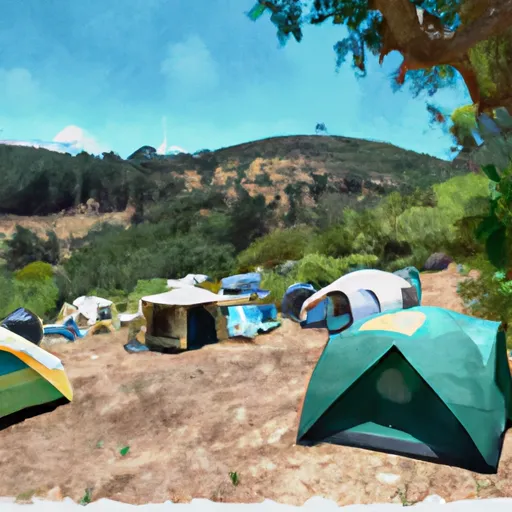
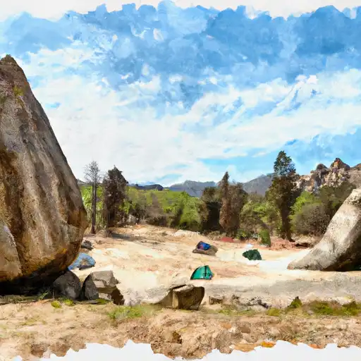
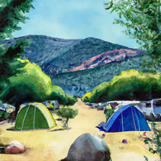
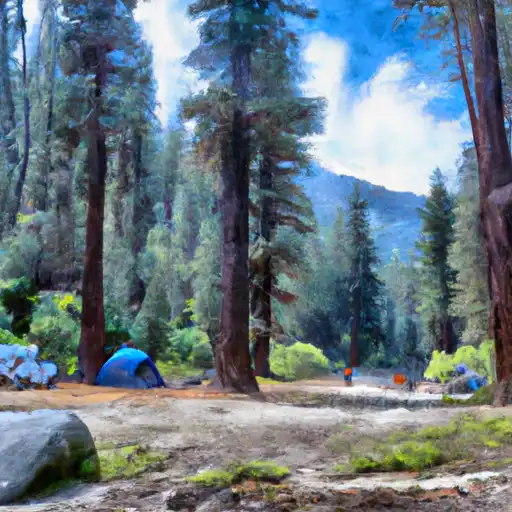
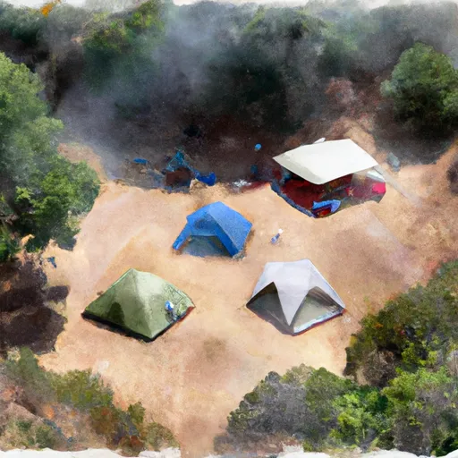
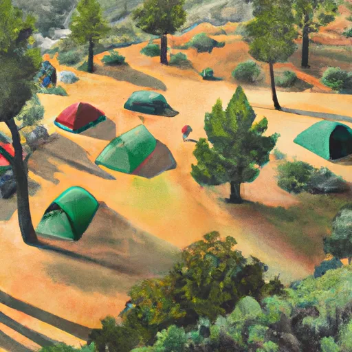
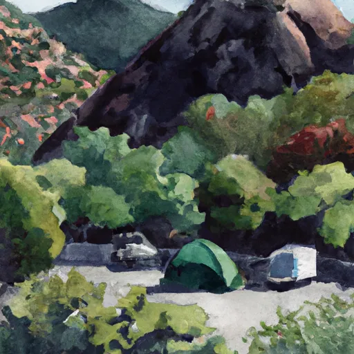
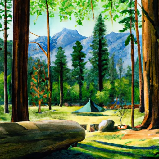
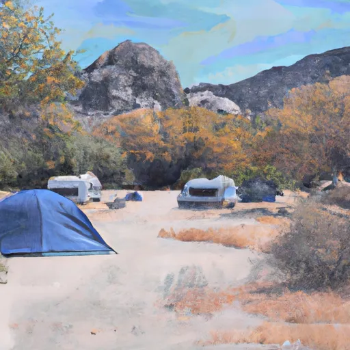
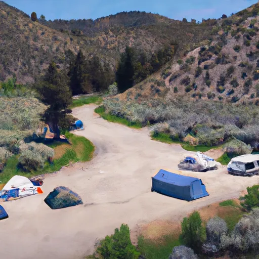
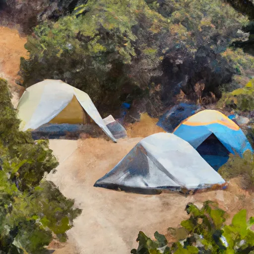
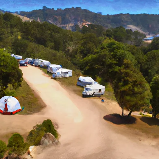
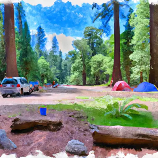
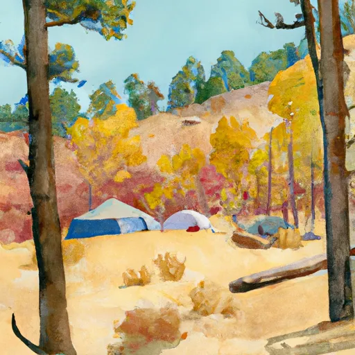
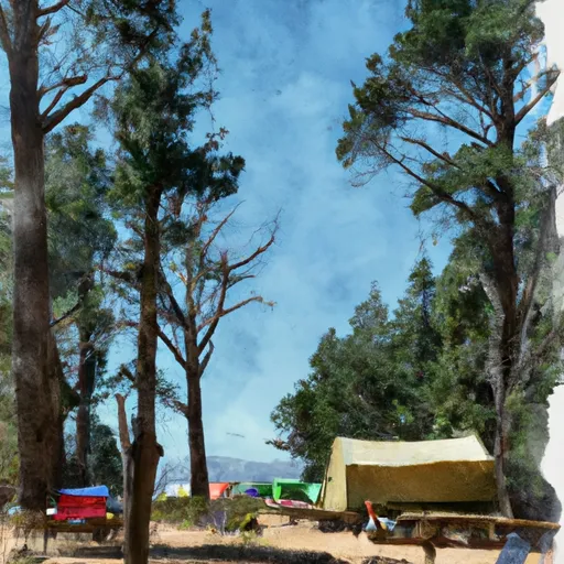
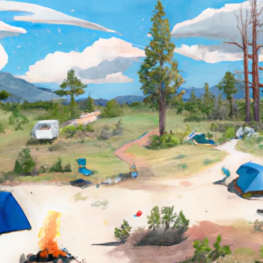
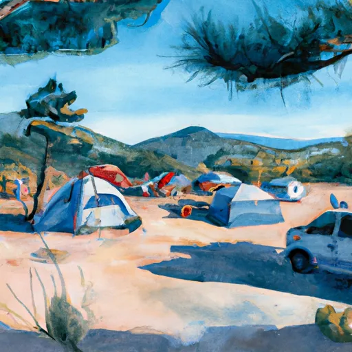
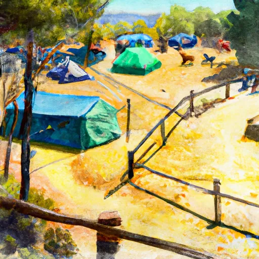
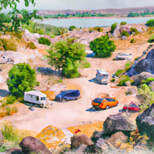
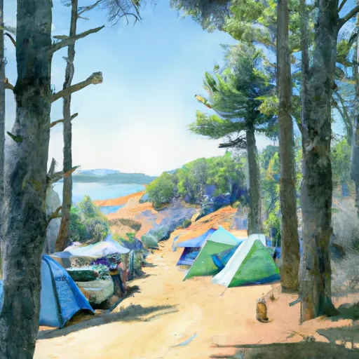
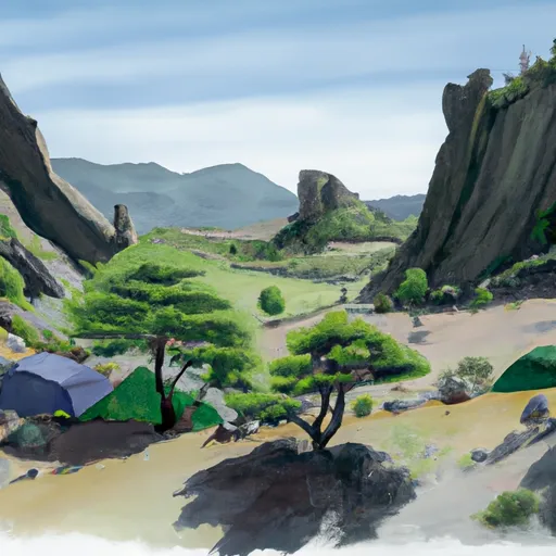
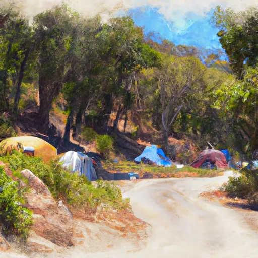
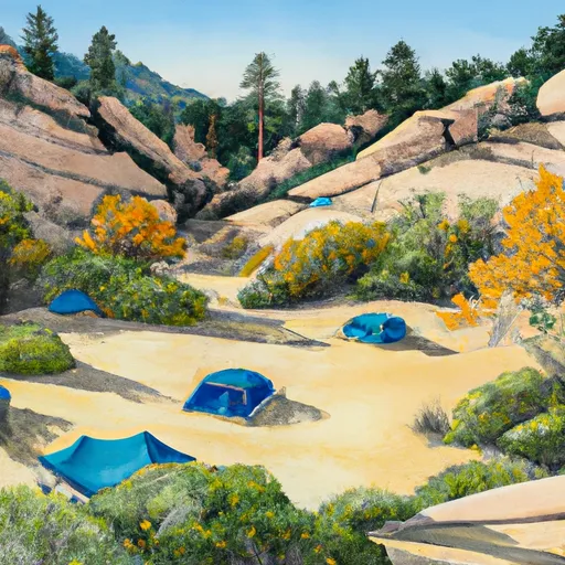
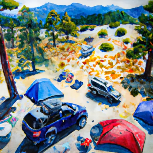
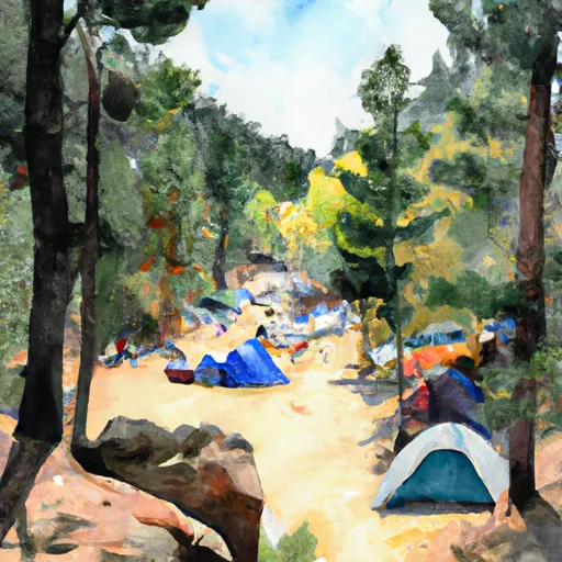
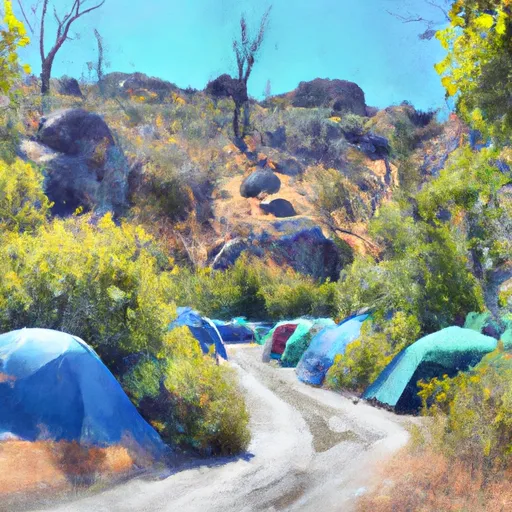
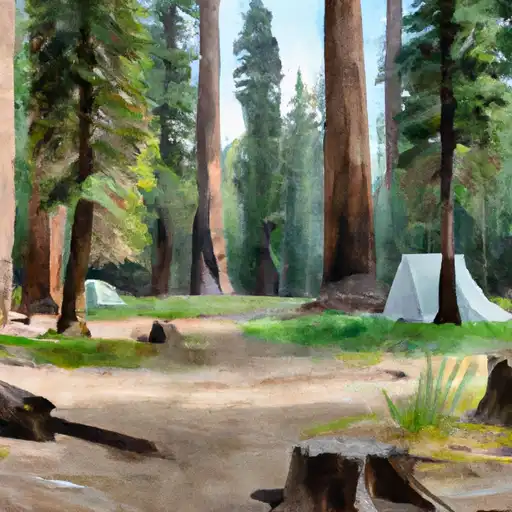
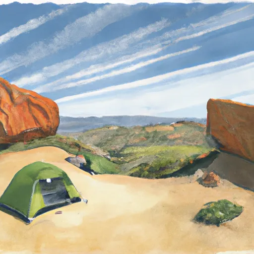
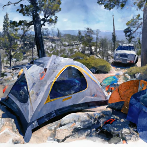
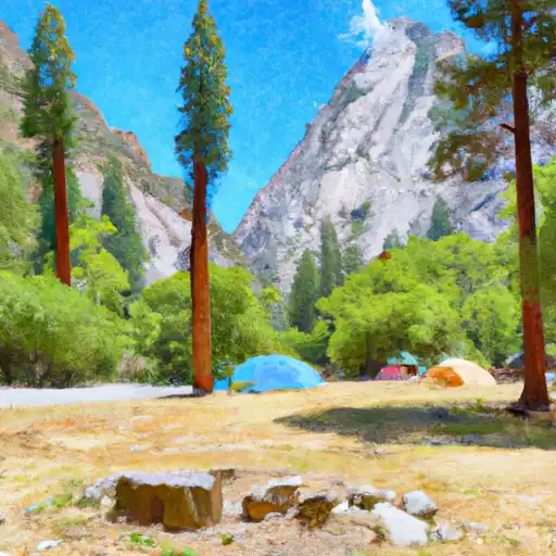
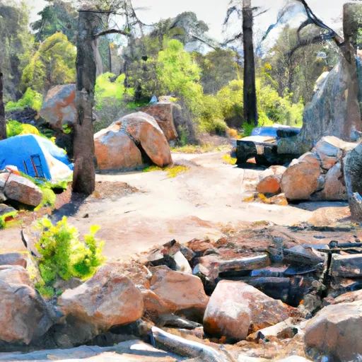
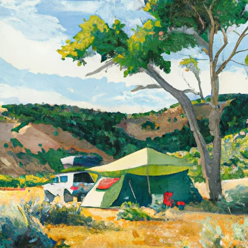
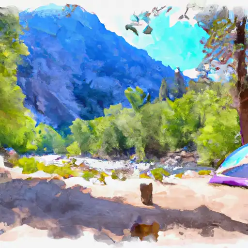
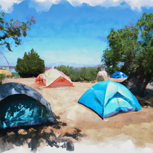
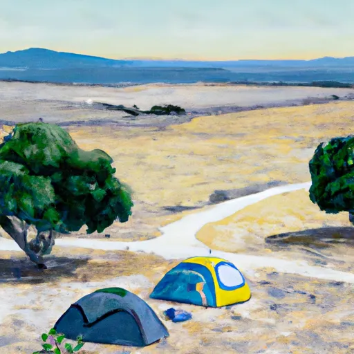
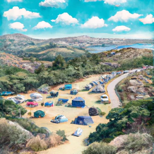
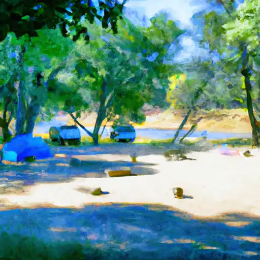
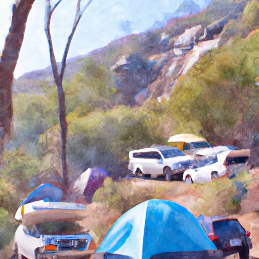
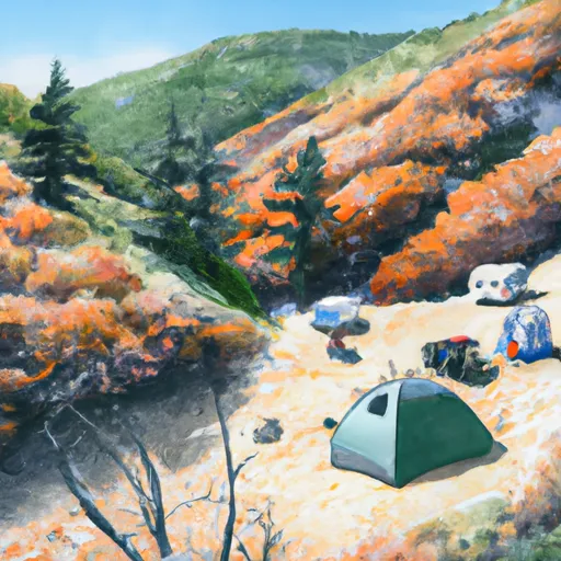
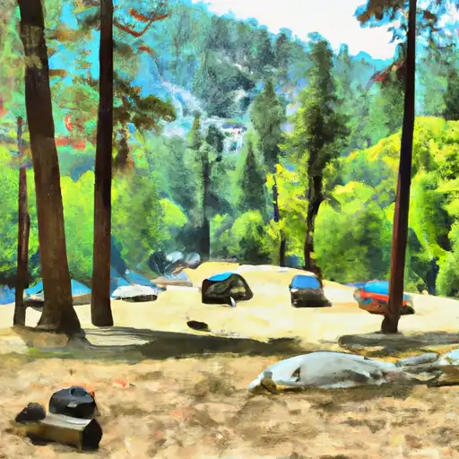
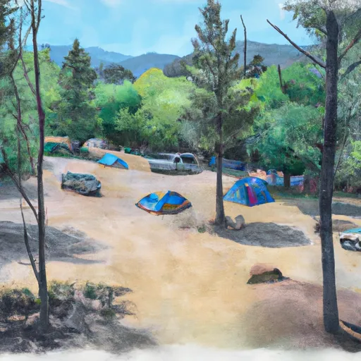
Camping in Wilderness Sequoia-Kings Canyon
Campgrounds inside the park, with today's conditions score.
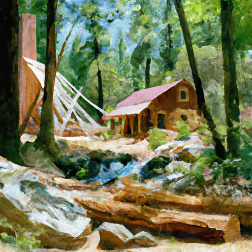


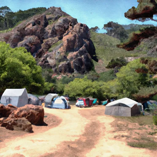
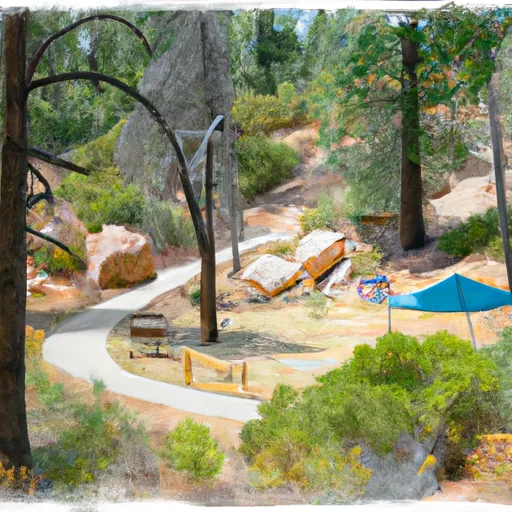
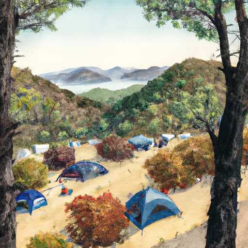
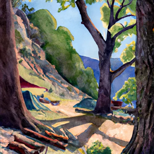
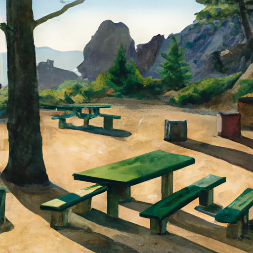

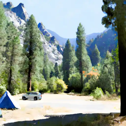


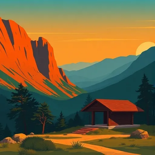
Points of interest in Wilderness Sequoia-Kings Canyon
Landmarks and points of interest inside the park boundary.


Plan your visit down to the hour
Same weather feed Snoflo's iOS app uses -- updated continuously from NOAA / yr.no.
Next 5 days, hour by hour
Temperature line with weather symbols on top, snow + rain accumulation as columns, humidity as a dotted line.
5-day forecast table
Every 3 hours, broken out across temperature, snow, rain, humidity, and wind.
| Time | Condition | Temp (°F) | Snow (in) | Rain (in) | Humidity (%) | Wind (mps) | Wind dir |
|---|---|---|---|---|---|---|---|
| Loading detailed forecast… | |||||||
15-day temperature & precipitation
Daily temperatures, snow, and rain projected over the next two weeks.
Responsible recreation & Leave No Trace
- Know before you go
- Check the operator's site for hours, permit requirements, seasonal closures, and fire restrictions before heading out.
- Stay on trail
- Stick to marked paths to protect vegetation, prevent erosion, and avoid disturbing wildlife habitat.
- Respect wildlife
- Observe from a distance, never feed wildlife, and store food securely if camping is permitted on-site.
- Pack it in, pack it out
- Carry out all trash, food scraps, and gear. Many parks have limited or no trash service.
- Leave what you find
- Don't take rocks, plants, or artifacts. They make the park what it is for the next visitor.
Set push alerts in the Snoflo app
Save Wilderness Sequoia-Kings Canyon as a favorite, set a custom threshold (precipitation, freezing temperatures, fire-restriction days), and the iOS app will push the moment conditions cross.
About Wilderness Sequoia-Kings Canyon
What can I do at Wilderness Sequoia-Kings Canyon?
Most Snoflo-tracked parks support hiking, picnicking, and wildlife viewing. Check the operator's site for activity-specific rules (camping, fishing, paddling, hunting).
How fresh is the weather data?
The hourly forecast updates throughout the day from NOAA / yr.no. Streamflow comes live from USGS streamgauges.
When is the best time to visit?
Use the 15-day temperature & precipitation outlook on this page to plan -- pick a window with comfortable temperatures and low precipitation.
How do I get to Wilderness Sequoia-Kings Canyon?
Tap Directions in the hero above to open driving directions in Google Maps, or Open in map to center the Snoflo interactive map on the park.
Can I get alerts when conditions change?
Yes -- alerts are managed in the Snoflo iOS app. Favorite this park, set a threshold (temperature, precipitation), and you'll get a push the moment it crosses.
Park & land designation reference
A quick legend for the federal and state land categories Snoflo tracks. Each designation comes with different rules around access, recreation, and resource extraction.
- National Park
- Large protected natural areas managed by the federal government to preserve significant landscapes, ecosystems, and cultural resources; recreation is allowed but conservation is the priority.
- State Park
- Public natural or recreational areas managed by a state government, typically smaller than national parks and focused on regional natural features, recreation, and education.
- Local Park
- Community-level parks managed by cities or counties, emphasizing recreation, playgrounds, sports, and green space close to populated areas.
- Wilderness Area
- The highest level of land protection in the U.S.; designated areas where nature is left essentially untouched, with no roads, structures, or motorized motorized access permitted.
- National Recreation Area
- Areas set aside primarily for outdoor recreation (boating, hiking, fishing, often around reservoirs, rivers, or scenic landscapes); may allow more development.
- National Conservation Area (BLM)
- BLM-managed areas with special ecological, cultural, or scientific value; more protection than typical BLM land but less strict than Wilderness Areas.
- State Forest
- State-managed forests focused on habitat, watershed, recreation, and sustainable timber harvest.
- Bureau of Land Management (BLM) Land
- Vast federal lands managed for mixed use -- recreation, grazing, mining, conservation -- with fewer restrictions than national parks or forests.