A L Thomas Park
Leave a RatingNearby: Larson Glenn Sherwood Hills Park
Last Updated: February 20, 2026
A.L.
Summary
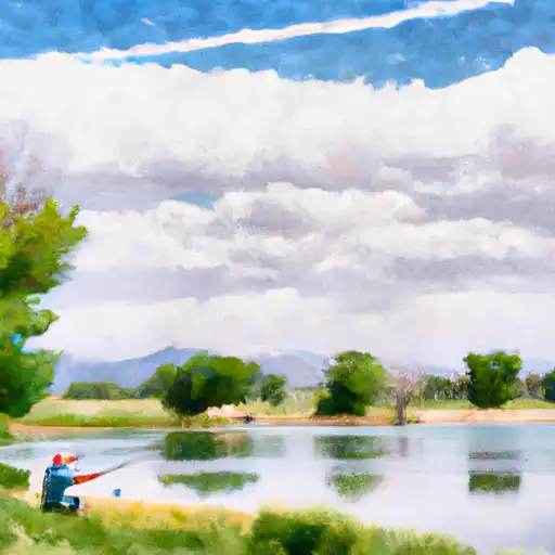
Thomas Park is a 44-acre park located in the state of Colorado. It is a popular destination for locals and tourists alike, offering a variety of outdoor activities and breathtaking views.
One of the main reasons to visit A.L. Thomas Park is its beautiful natural setting. The park is situated on a hill overlooking the Arkansas River, and boasts stunning views of the surrounding mountains. Visitors can enjoy hiking, picnicking, and wildlife viewing in this scenic location.
Another point of interest in the park is the Arkansas Riverwalk Trail, which runs along the river and provides an opportunity to see local flora and fauna up close. Bird watchers will especially enjoy this trail, as it is home to a variety of species including bald eagles and ospreys.
For those interested in history, A.L. Thomas Park also has a historic bridge that dates back to the early 1900s. The bridge was originally used to transport coal and other goods across the river, and has since been restored as a pedestrian walkway.
In terms of interesting facts, A.L. Thomas Park is named after a local businessman who donated the land to the city of Cañon City in 1979. The park was then developed with the help of a grant from the Land and Water Conservation Fund.
The best time of year to visit A.L. Thomas Park is during the summer months, when the weather is warm and sunny. However, the park is open year-round and offers opportunities for winter activities such as snowshoeing and cross-country skiing.
Overall, A.L. Thomas Park is a must-visit destination for anyone traveling to Colorado. With its stunning natural beauty, diverse recreational opportunities, and rich history, it is a park that truly has something for everyone.
°F
°F
mph
Wind
%
Humidity
15-Day Weather Outlook
5-Day Hourly Forecast Detail
Park & Land Designation Reference
Large protected natural areas managed by the federal government to preserve significant landscapes, ecosystems, and cultural resources; recreation is allowed but conservation is the priority.
State Park
Public natural or recreational areas managed by a state government, typically smaller than national parks and focused on regional natural features, recreation, and education.
Local Park
Community-level parks managed by cities or counties, emphasizing recreation, playgrounds, sports, and green space close to populated areas.
Wilderness Area
The highest level of land protection in the U.S.; designated areas where nature is left essentially untouched, with no roads, structures, or motorized access permitted.
National Recreation Area
Areas set aside primarily for outdoor recreation (boating, hiking, fishing), often around reservoirs, rivers, or scenic landscapes; may allow more development.
National Conservation Area (BLM)
BLM-managed areas with special ecological, cultural, or scientific value; more protection than typical BLM land but less strict than Wilderness Areas.
State Forest
State-managed forests focused on habitat, watershed, recreation, and sustainable timber harvest.
National Forest
Federally managed lands focused on multiple use—recreation, wildlife habitat, watershed protection, and resource extraction (like timber)—unlike the stricter protections of national parks.
Wilderness
A protected area set aside to conserve specific resources—such as wildlife, habitats, or scientific features—with regulations varying widely depending on the managing agency and purpose.
Bureau of Land Management (BLM) Land
Vast federal lands managed for mixed use—recreation, grazing, mining, conservation—with fewer restrictions than national parks or forests.
Related References

 Larson Glenn
 Sherwood Hills Park
 Eleanor M. Wyatt/Centennial
 Wyco Park
 Charles C Winburn Park
 Civic Center Park Lake (Thornton)
 Thornton Rec Ctr Lake (Carpenter)
 Croke Reservoir
 Webster Lake
 Grandview Ponds