Olmsted Park
Leave a RatingLast Updated: February 11, 2026
Olmsted Park is a beautiful natural area in the state of Colorado that boasts various attractions and points of interest.
Summary
The park is located in the San Juan National Forest, near the town of Telluride. It is known for its breathtaking scenery, including waterfalls, streams, and wildlife.
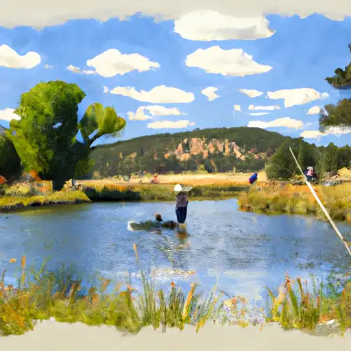
One of the main reasons to visit Olmsted Park is its hiking trails. The park has a network of trails that are suitable for hikers of all skill levels. Visitors may also enjoy fishing in the park's streams, which are home to trout and other fish species.
Another popular attraction in Olmsted Park is the Bridal Veil Falls, which is the tallest waterfall in Colorado. Visitors can hike to the base of the waterfall or take a four-wheel drive vehicle to the top for a stunning view of the surrounding area.
The park also contains several historical sites, including the ghost town of Alta, which was a mining town in the late 19th century. The remnants of the town can still be seen today, including the old mining structures and cabins.
One interesting fact about Olmsted Park is that it was named after Frederick Law Olmsted, who is considered to be the father of American landscape architecture. Olmsted is best known for designing New York City's Central Park.
The best time of year to visit Olmsted Park is in the summer months when the weather is warm and the trails are accessible. However, visitors should be aware of the risk of afternoon thunderstorms, which can be dangerous for hikers. It is also possible to visit the park in the winter for snowshoeing and cross-country skiing, but the trails may be more difficult to access due to snow and ice. Overall, Olmsted Park is a must-see destination for nature lovers and outdoor enthusiasts visiting Colorado.
°F
°F
mph
Wind
%
Humidity
15-Day Weather Outlook
5-Day Hourly Forecast Detail
Park & Land Designation Reference
Large protected natural areas managed by the federal government to preserve significant landscapes, ecosystems, and cultural resources; recreation is allowed but conservation is the priority.
State Park
Public natural or recreational areas managed by a state government, typically smaller than national parks and focused on regional natural features, recreation, and education.
Local Park
Community-level parks managed by cities or counties, emphasizing recreation, playgrounds, sports, and green space close to populated areas.
Wilderness Area
The highest level of land protection in the U.S.; designated areas where nature is left essentially untouched, with no roads, structures, or motorized access permitted.
National Recreation Area
Areas set aside primarily for outdoor recreation (boating, hiking, fishing), often around reservoirs, rivers, or scenic landscapes; may allow more development.
National Conservation Area (BLM)
BLM-managed areas with special ecological, cultural, or scientific value; more protection than typical BLM land but less strict than Wilderness Areas.
State Forest
State-managed forests focused on habitat, watershed, recreation, and sustainable timber harvest.
National Forest
Federally managed lands focused on multiple use—recreation, wildlife habitat, watershed protection, and resource extraction (like timber)—unlike the stricter protections of national parks.
Wilderness
A protected area set aside to conserve specific resources—such as wildlife, habitats, or scientific features—with regulations varying widely depending on the managing agency and purpose.
Bureau of Land Management (BLM) Land
Vast federal lands managed for mixed use—recreation, grazing, mining, conservation—with fewer restrictions than national parks or forests.
Related References
Area Campgrounds
| Location | Reservations | Toilets |
|---|---|---|
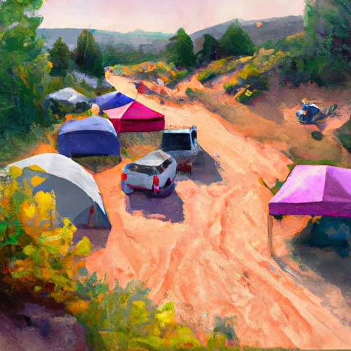 Camp Patiya
|
||
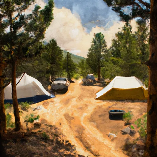 Gordon Gulch Dispersed Camping Area
|
||
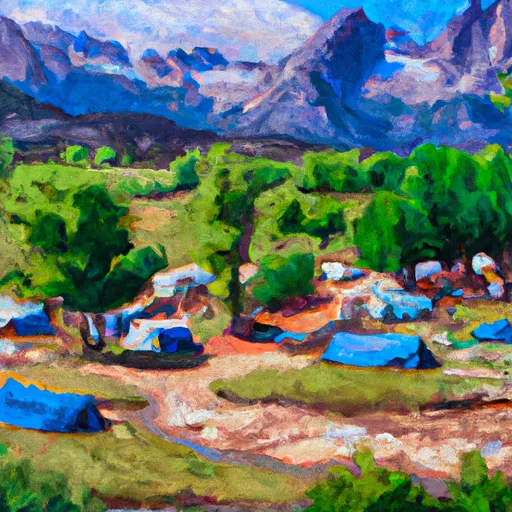 Glacier View Ranch
|
||
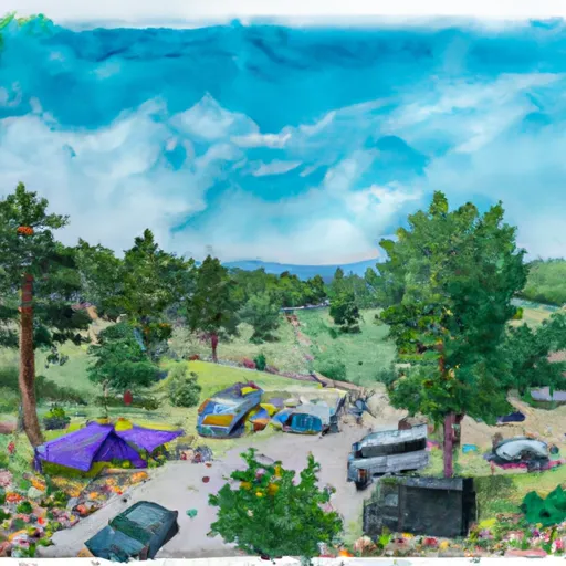 Boulder County Fairground
|

 North Boulder Lit League Field
 North Boulder Park
 Salberg Park
 Casey School Park
 Pineview Park
 Wonderland Lake
 Cottonwood Lake (Pearl Parkway Boulder)
 KOA Lake
 Thunderbird Lake
 Boulder Ponds