Uncompahgre National Forest
Community Reviews
Been here? Share the conditions.
Reviews, ratings & photos are added in the free Snoflo iOS app — rate a spot, tag the conditions, and your visit is verified by location. Add or manage your reviews from the app.
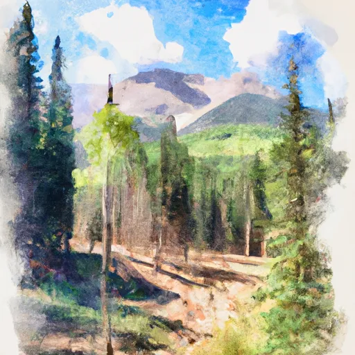
Uncompahgre National Forest
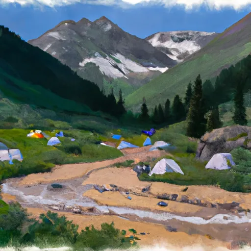
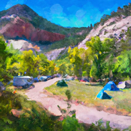
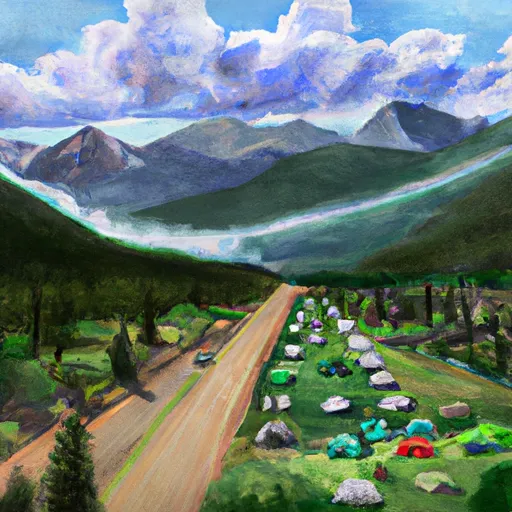
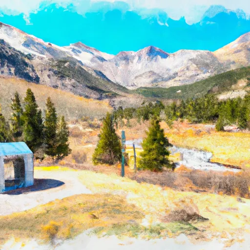
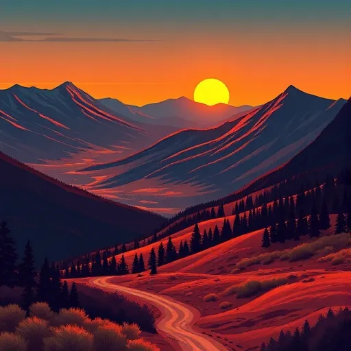
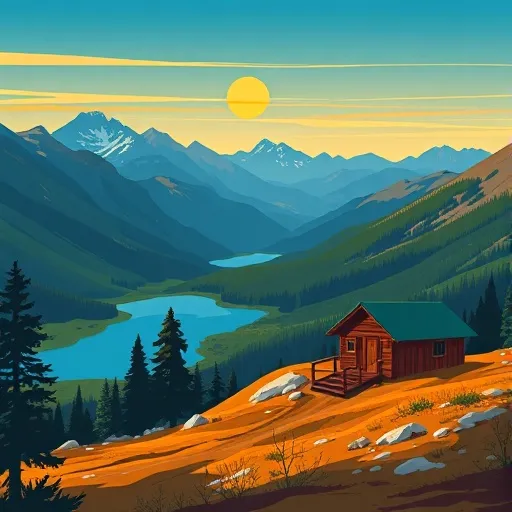
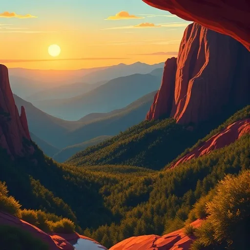
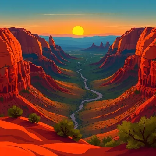
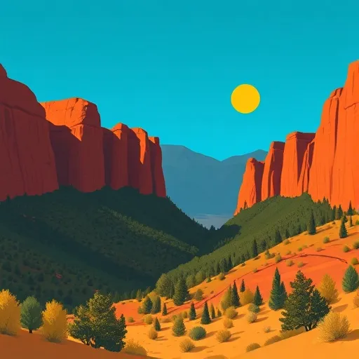
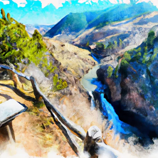
One of the main reasons to visit Uncompahgre National Forest is the stunning landscapes it offers. The forest is characterized by majestic mountain peaks, deep canyons, alpine meadows, and pristine lakes. From hiking and camping to fishing and wildlife watching, the forest provides ample opportunities to immerse oneself in the beauty of nature.
Several notable points of interest within Uncompahgre National Forest are worth exploring. The San Juan Mountains, a prominent feature of the forest, offer breathtaking views, picturesque hiking trails, and challenging mountain peaks to conquer, such as Mt. Sneffels. The Black Canyon of the Gunnison National Park, located within the forest's boundaries, is a dramatic and awe-inspiring gorge known for its steep cliffs and unique rock formations. Visitors can also venture to the Ouray Ice Park, a renowned destination for ice climbing enthusiasts during the winter months.
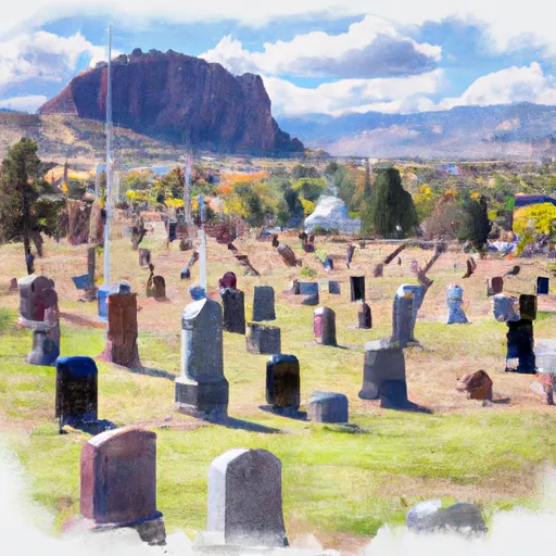
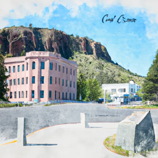
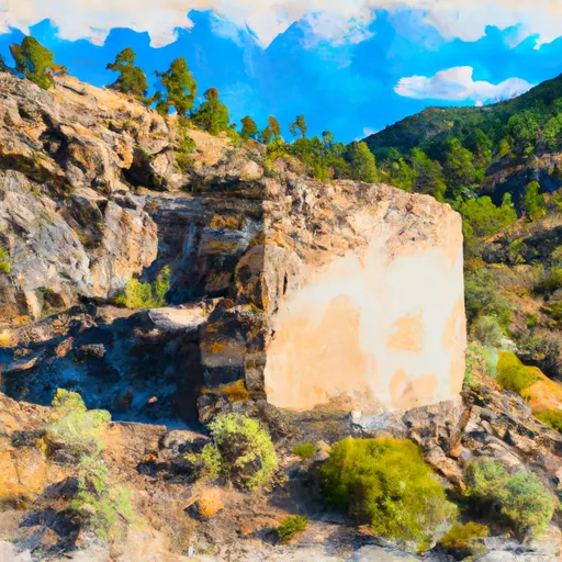
Interesting facts about Uncompahgre National Forest include its rich mining history. The area was once home to bustling mining towns during the Colorado mining boom, and remnants of this past can still be seen in various ghost towns scattered throughout the forest. Additionally, the forest is home to diverse wildlife, including elk, mule deer, black bears, and numerous bird species, making it a great place for wildlife observation and photography.
The best time to visit Uncompahgre National Forest largely depends on the activities one wishes to engage in. Summer, from June to September, is the most popular time for outdoor recreation, as hiking trails are accessible, camping conditions are optimal, and temperatures are generally pleasant. Autumn, particularly September and early October, offers stunning fall foliage and a quieter atmosphere. Winter is ideal for those interested in skiing, snowboarding, snowshoeing, and ice climbing. However, it's important to note that winter conditions can be harsh and unpredictable, so visitors should be well-prepared and check weather forecasts.
To ensure accuracy, it is recommended to verify information about Uncompahgre National Forest across multiple independent sources such as the official website of the U.S. Forest Service, travel guides, and reputable travel websites.
Streamflow in Uncompahgre National Forest
Live USGS discharge at streamgauges inside the park boundary.
Snowpack in Uncompahgre National Forest
Current snow depth at SNOTEL stations inside the park boundary.
Trails in Uncompahgre National Forest
Named trails whose route falls inside the park.
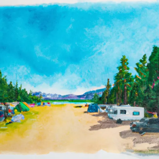
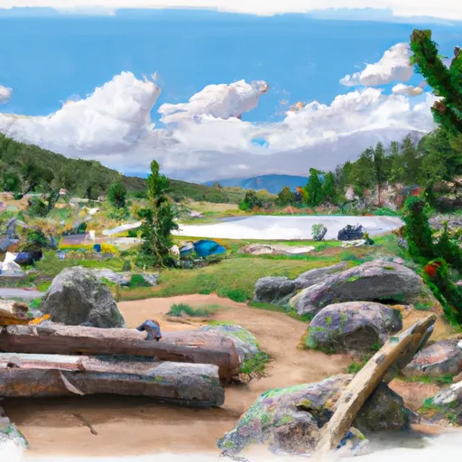
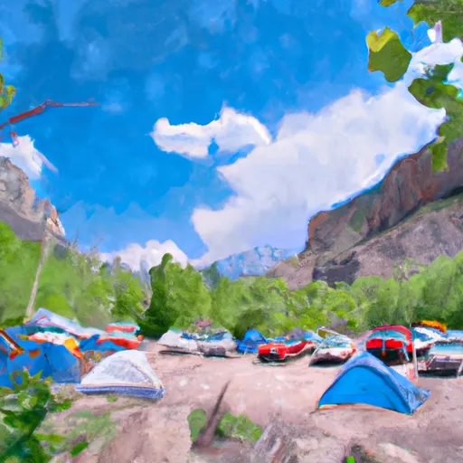
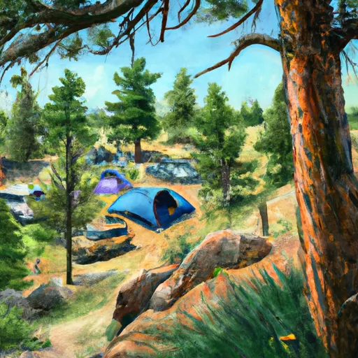
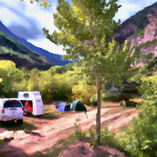
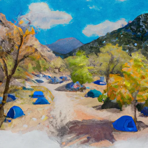
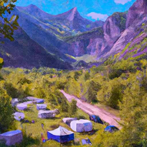
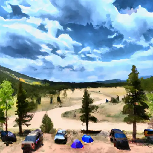
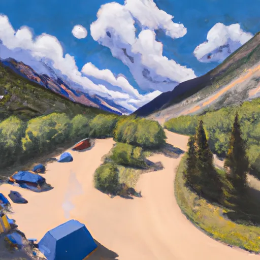
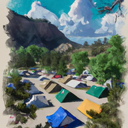
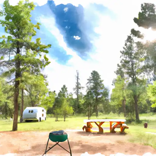
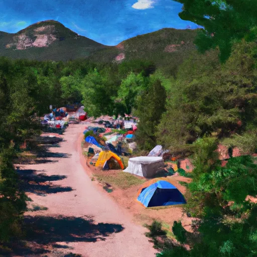
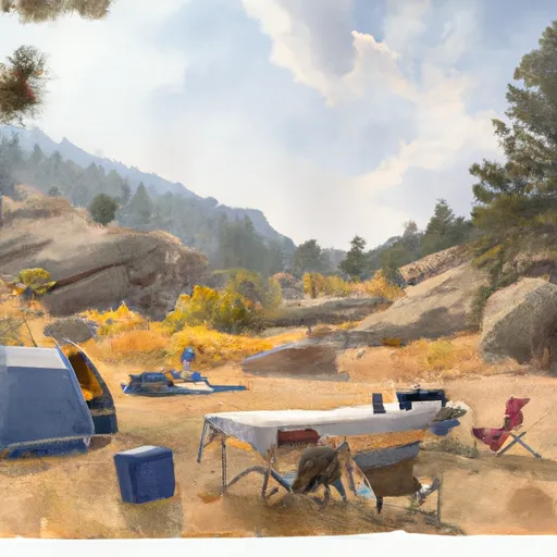
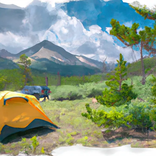
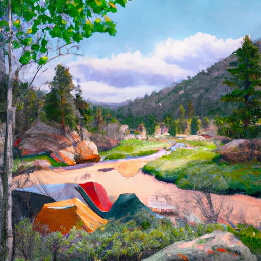
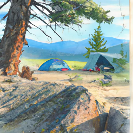
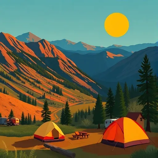
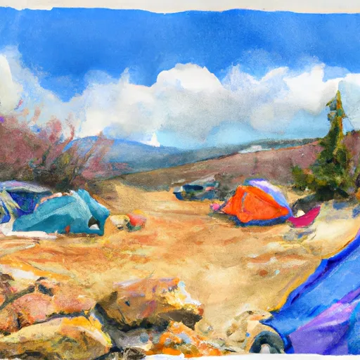
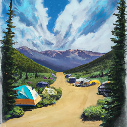
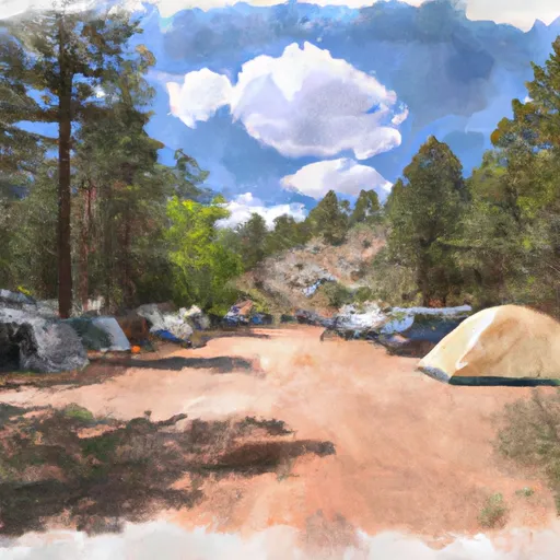
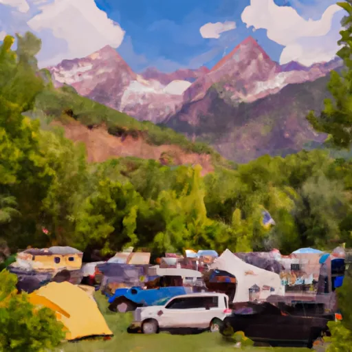
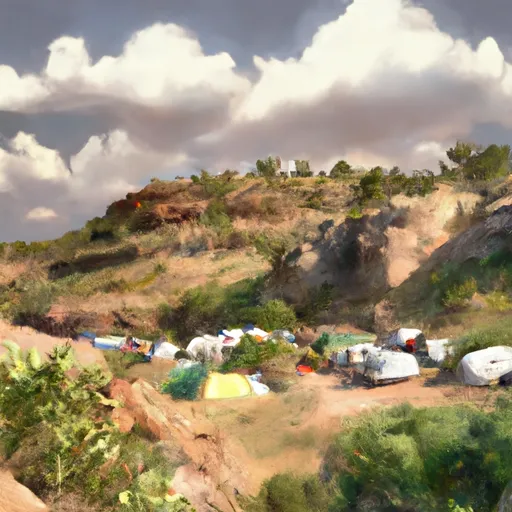
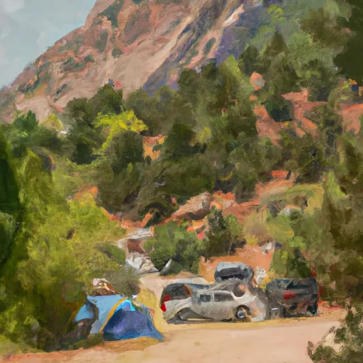
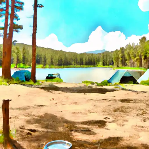
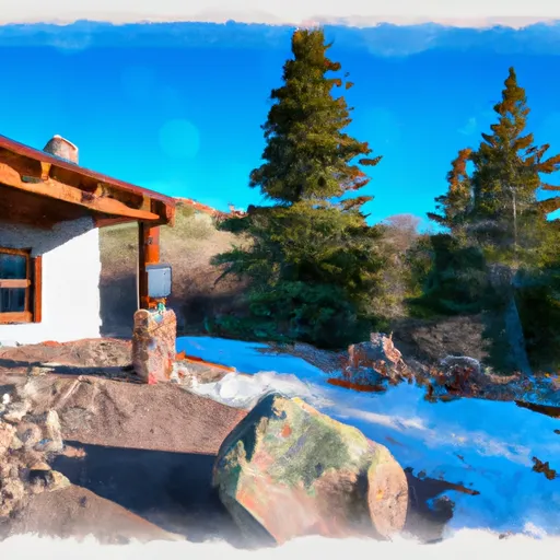
Camping in Uncompahgre National Forest
Campgrounds inside the park, with today's conditions score.
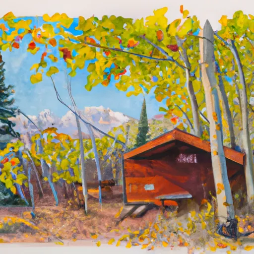

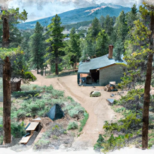


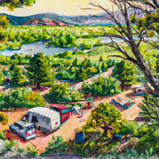
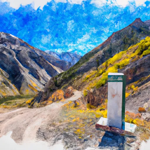
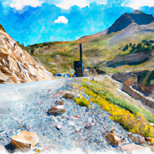
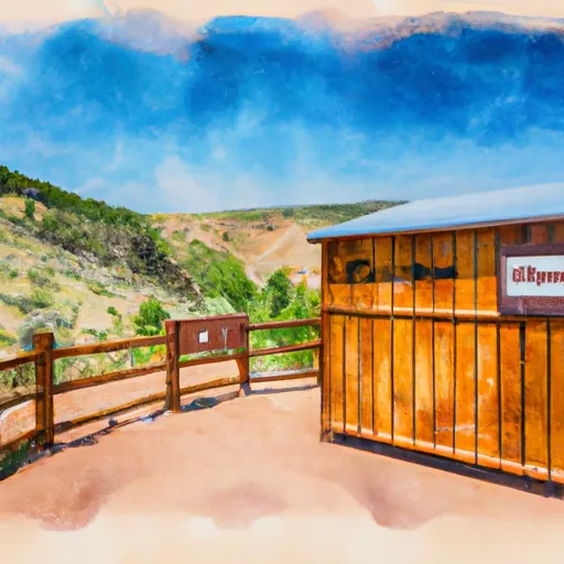
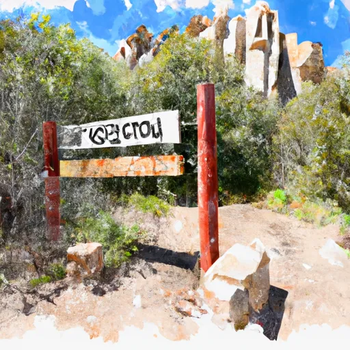
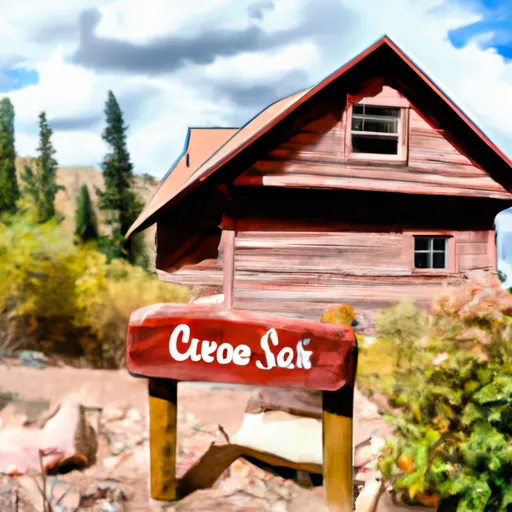
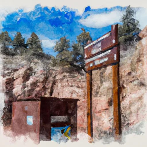
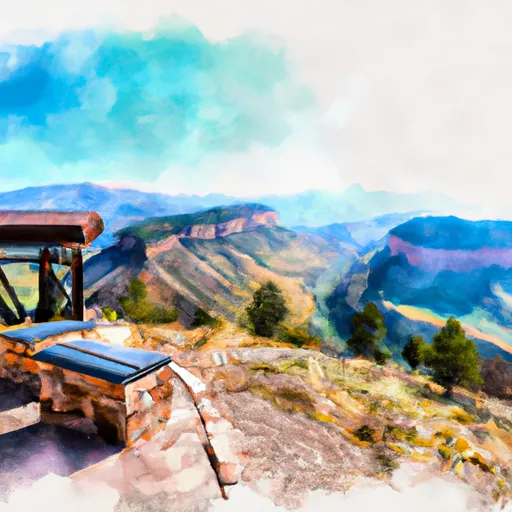
Points of interest in Uncompahgre National Forest
Landmarks and points of interest inside the park boundary.


Plan your visit down to the hour
Same weather feed Snoflo's iOS app uses -- updated continuously from NOAA / yr.no.
Next 5 days, hour by hour
Temperature line with weather symbols on top, snow + rain accumulation as columns, humidity as a dotted line.
5-day forecast table
Every 3 hours, broken out across temperature, snow, rain, humidity, and wind.
| Time | Condition | Temp (°F) | Snow (in) | Rain (in) | Humidity (%) | Wind (mps) | Wind dir |
|---|---|---|---|---|---|---|---|
| Loading detailed forecast… | |||||||
15-day temperature & precipitation
Daily temperatures, snow, and rain projected over the next two weeks.
Responsible recreation & Leave No Trace
- Know before you go
- Check the operator's site for hours, permit requirements, seasonal closures, and fire restrictions before heading out.
- Stay on trail
- Stick to marked paths to protect vegetation, prevent erosion, and avoid disturbing wildlife habitat.
- Respect wildlife
- Observe from a distance, never feed wildlife, and store food securely if camping is permitted on-site.
- Pack it in, pack it out
- Carry out all trash, food scraps, and gear. Many parks have limited or no trash service.
- Leave what you find
- Don't take rocks, plants, or artifacts. They make the park what it is for the next visitor.
Set push alerts in the Snoflo app
Save Uncompahgre National Forest as a favorite, set a custom threshold (precipitation, freezing temperatures, fire-restriction days), and the iOS app will push the moment conditions cross.
About Uncompahgre National Forest
What can I do at Uncompahgre National Forest?
Most Snoflo-tracked parks support hiking, picnicking, and wildlife viewing. Check the operator's site for activity-specific rules (camping, fishing, paddling, hunting).
How fresh is the weather data?
The hourly forecast updates throughout the day from NOAA / yr.no. Streamflow comes live from USGS streamgauges.
When is the best time to visit?
Use the 15-day temperature & precipitation outlook on this page to plan -- pick a window with comfortable temperatures and low precipitation.
How do I get to Uncompahgre National Forest?
Tap Directions in the hero above to open driving directions in Google Maps, or Open in map to center the Snoflo interactive map on the park.
Can I get alerts when conditions change?
Yes -- alerts are managed in the Snoflo iOS app. Favorite this park, set a threshold (temperature, precipitation), and you'll get a push the moment it crosses.
Park & land designation reference
A quick legend for the federal and state land categories Snoflo tracks. Each designation comes with different rules around access, recreation, and resource extraction.
- National Park
- Large protected natural areas managed by the federal government to preserve significant landscapes, ecosystems, and cultural resources; recreation is allowed but conservation is the priority.
- State Park
- Public natural or recreational areas managed by a state government, typically smaller than national parks and focused on regional natural features, recreation, and education.
- Local Park
- Community-level parks managed by cities or counties, emphasizing recreation, playgrounds, sports, and green space close to populated areas.
- Wilderness Area
- The highest level of land protection in the U.S.; designated areas where nature is left essentially untouched, with no roads, structures, or motorized motorized access permitted.
- National Recreation Area
- Areas set aside primarily for outdoor recreation (boating, hiking, fishing, often around reservoirs, rivers, or scenic landscapes); may allow more development.
- National Conservation Area (BLM)
- BLM-managed areas with special ecological, cultural, or scientific value; more protection than typical BLM land but less strict than Wilderness Areas.
- State Forest
- State-managed forests focused on habitat, watershed, recreation, and sustainable timber harvest.
- Bureau of Land Management (BLM) Land
- Vast federal lands managed for mixed use -- recreation, grazing, mining, conservation -- with fewer restrictions than national parks or forests.