Wilderness Sangre De Cristo
Community Reviews
Been here? Share the conditions.
Reviews, ratings & photos are added in the free Snoflo iOS app — rate a spot, tag the conditions, and your visit is verified by location. Add or manage your reviews from the app.

Wilderness Sangre De Cristo
There are several compelling reasons to visit Wilderness Sangre De Cristo. Firstly, it boasts breathtaking natural beauty, with its snow-capped peaks, lush alpine meadows, thick forests, and pristine mountain lakes. The area is known for its abundant wildlife, including elk, mule deer, bighorn sheep, and several species of birds. Visitors can enjoy a range of outdoor activities such as hiking, camping, fishing, horseback riding, and wildlife viewing.
There are several specific points of interest within Wilderness Sangre De Cristo. One notable destination is the Great Sand Dunes National Park and Preserve, which lies adjacent to the wilderness area. The park features the tallest sand dunes in North America, providing a unique and picturesque landscape to explore. Additionally, the Crestone Needle and Crestone Peak, two prominent 14,000-foot peaks, offer challenging mountaineering opportunities for experienced climbers.
Interesting facts about Wilderness Sangre De Cristo include its rich cultural history. The region is historically significant as it was once home to Native American tribes, and evidence of their presence can still be found in the form of artifacts and petroglyphs. The wilderness area also played a part in the historic Santa Fe Trail, a major trade route in the 19th century.
The best time to visit Wilderness Sangre De Cristo depends on personal preferences and activities. Summer months, typically from June to August, offer pleasant weather and the opportunity to engage in various outdoor activities. However, it is worth noting that afternoon thunderstorms are common during this period. Fall, from September to October, offers stunning foliage and fewer crowds. Winter, from December to February, attracts visitors who enjoy activities such as snowshoeing and cross-country skiing, but access may be limited due to snowfall. It is recommended to check weather conditions and trail accessibility before planning a visit.
To ensure accuracy, it is advisable to verify the information provided by cross-referencing multiple independent sources such as official park websites, travel guides, and local tourism boards.
Snowpack in Wilderness Sangre De Cristo
Current snow depth at SNOTEL stations inside the park boundary.
Trails in Wilderness Sangre De Cristo
Named trails whose route falls inside the park.
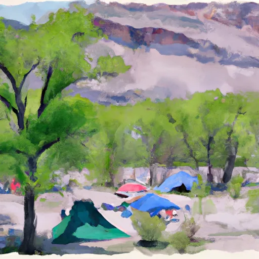
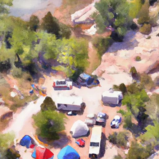
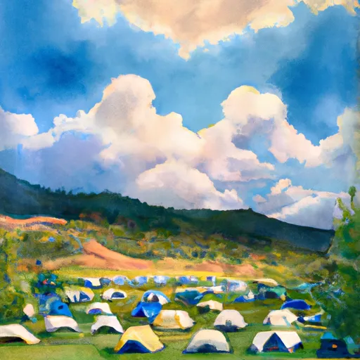
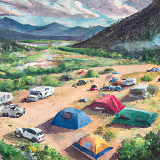
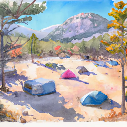
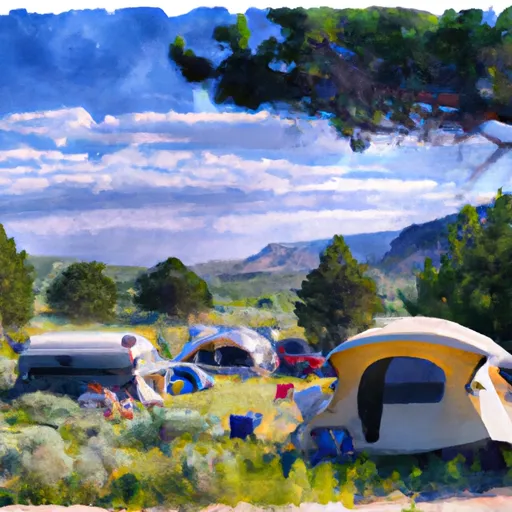
Camping in Wilderness Sangre De Cristo
Campgrounds inside the park, with today's conditions score.


Points of interest in Wilderness Sangre De Cristo
Landmarks and points of interest inside the park boundary.

Plan your visit down to the hour
Same weather feed Snoflo's iOS app uses -- updated continuously from NOAA / yr.no.
Next 5 days, hour by hour
Temperature line with weather symbols on top, snow + rain accumulation as columns, humidity as a dotted line.
5-day forecast table
Every 3 hours, broken out across temperature, snow, rain, humidity, and wind.
| Time | Condition | Temp (°F) | Snow (in) | Rain (in) | Humidity (%) | Wind (mps) | Wind dir |
|---|---|---|---|---|---|---|---|
| Loading detailed forecast… | |||||||
15-day temperature & precipitation
Daily temperatures, snow, and rain projected over the next two weeks.
Responsible recreation & Leave No Trace
- Know before you go
- Check the operator's site for hours, permit requirements, seasonal closures, and fire restrictions before heading out.
- Stay on trail
- Stick to marked paths to protect vegetation, prevent erosion, and avoid disturbing wildlife habitat.
- Respect wildlife
- Observe from a distance, never feed wildlife, and store food securely if camping is permitted on-site.
- Pack it in, pack it out
- Carry out all trash, food scraps, and gear. Many parks have limited or no trash service.
- Leave what you find
- Don't take rocks, plants, or artifacts. They make the park what it is for the next visitor.
Set push alerts in the Snoflo app
Save Wilderness Sangre De Cristo as a favorite, set a custom threshold (precipitation, freezing temperatures, fire-restriction days), and the iOS app will push the moment conditions cross.
About Wilderness Sangre De Cristo
What can I do at Wilderness Sangre De Cristo?
Most Snoflo-tracked parks support hiking, picnicking, and wildlife viewing. Check the operator's site for activity-specific rules (camping, fishing, paddling, hunting).
How fresh is the weather data?
The hourly forecast updates throughout the day from NOAA / yr.no. Streamflow comes live from USGS streamgauges.
When is the best time to visit?
Use the 15-day temperature & precipitation outlook on this page to plan -- pick a window with comfortable temperatures and low precipitation.
How do I get to Wilderness Sangre De Cristo?
Tap Directions in the hero above to open driving directions in Google Maps, or Open in map to center the Snoflo interactive map on the park.
Can I get alerts when conditions change?
Yes -- alerts are managed in the Snoflo iOS app. Favorite this park, set a threshold (temperature, precipitation), and you'll get a push the moment it crosses.
Park & land designation reference
A quick legend for the federal and state land categories Snoflo tracks. Each designation comes with different rules around access, recreation, and resource extraction.
- National Park
- Large protected natural areas managed by the federal government to preserve significant landscapes, ecosystems, and cultural resources; recreation is allowed but conservation is the priority.
- State Park
- Public natural or recreational areas managed by a state government, typically smaller than national parks and focused on regional natural features, recreation, and education.
- Local Park
- Community-level parks managed by cities or counties, emphasizing recreation, playgrounds, sports, and green space close to populated areas.
- Wilderness Area
- The highest level of land protection in the U.S.; designated areas where nature is left essentially untouched, with no roads, structures, or motorized motorized access permitted.
- National Recreation Area
- Areas set aside primarily for outdoor recreation (boating, hiking, fishing, often around reservoirs, rivers, or scenic landscapes); may allow more development.
- National Conservation Area (BLM)
- BLM-managed areas with special ecological, cultural, or scientific value; more protection than typical BLM land but less strict than Wilderness Areas.
- State Forest
- State-managed forests focused on habitat, watershed, recreation, and sustainable timber harvest.
- Bureau of Land Management (BLM) Land
- Vast federal lands managed for mixed use -- recreation, grazing, mining, conservation -- with fewer restrictions than national parks or forests.