

Little Pend Oreille National Wildlife Refuge
Last Updated: May 4, 2026
Leave a Rating°F
°F
mph
Wind
%
Humidity
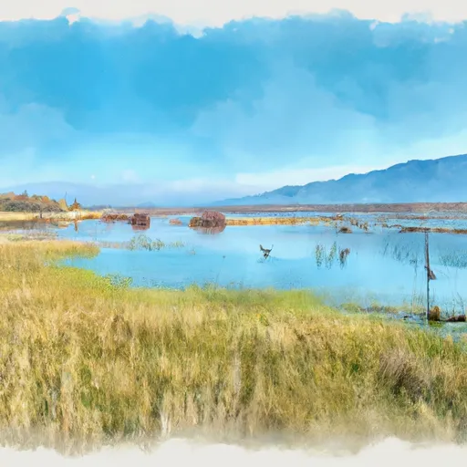
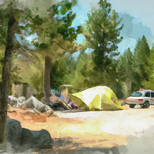
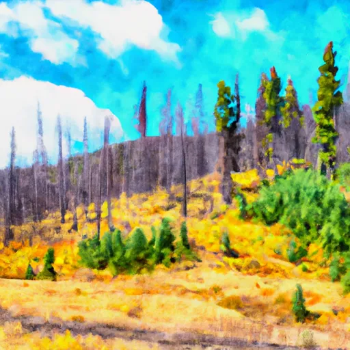
The Little Pend Oreille National Wildlife Refuge is located in the northeastern part of Washington state and spans over 41,000 acres of land.
Summary
It was established in 1939 and is named after the Pend Oreille River that runs through the area. The refuge is home to several species of wildlife, including moose, elk, black bear, bobcats, and bald eagles.
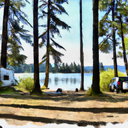
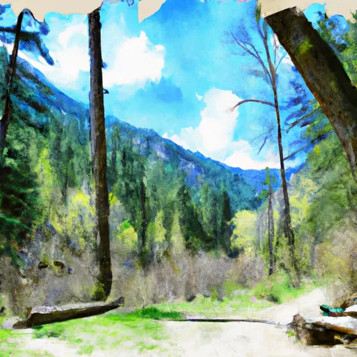
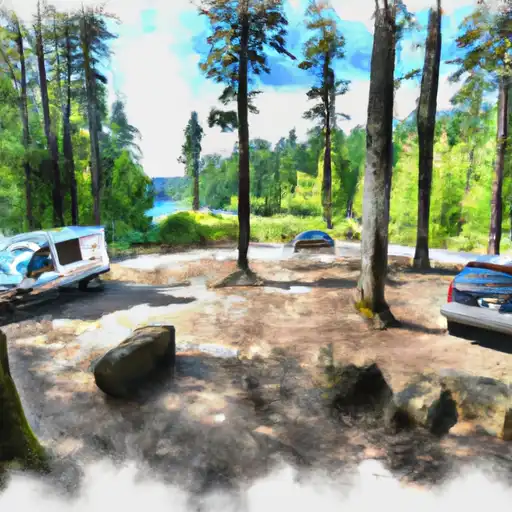
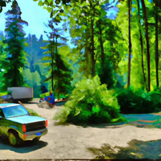
One of the main reasons to visit the Little Pend Oreille National Wildlife Refuge is to experience the beautiful wilderness and wildlife that the area has to offer. Visitors can explore the refuge by hiking, fishing, hunting, and wildlife watching. There are several trails available to hike, including the Salmo-Priest Loop Trail, which is a 56-mile loop that takes hikers through the heart of the refuge.
The refuge is also home to several points of interest, including the Sherman Pass Scenic Byway, which offers stunning views of the surrounding mountains and valleys. The refuge's headquarters also has a visitor center where guests can learn about the area's history and wildlife.
Interesting facts about the Little Pend Oreille National Wildlife Refuge include that it is home to the largest population of moose in the state of Washington. It is also one of the few remaining habitats for the gray wolf in the Pacific Northwest.
The best time of year to visit the Little Pend Oreille National Wildlife Refuge is during the summer months when the weather is mild, and the wildlife is most active. However, the refuge is open year-round, and visitors can enjoy winter activities such as skiing and snowshoeing.
Overall, the Little Pend Oreille National Wildlife Refuge is a beautiful and unique place to visit for anyone interested in experiencing Washington's wilderness and wildlife.
15-Day Long Term Forecast
5-Day Hourly Forecast Detail
Park & Land Designation Reference
Large protected natural areas managed by the federal government to preserve significant landscapes, ecosystems, and cultural resources; recreation is allowed but conservation is the priority.
State Park
Public natural or recreational areas managed by a state government, typically smaller than national parks and focused on regional natural features, recreation, and education.
Local Park
Community-level parks managed by cities or counties, emphasizing recreation, playgrounds, sports, and green space close to populated areas.
Wilderness Area
The highest level of land protection in the U.S.; designated areas where nature is left essentially untouched, with no roads, structures, or motorized access permitted.
National Recreation Area
Areas set aside primarily for outdoor recreation (boating, hiking, fishing), often around reservoirs, rivers, or scenic landscapes; may allow more development.
National Conservation Area (BLM)
BLM-managed areas with special ecological, cultural, or scientific value; more protection than typical BLM land but less strict than Wilderness Areas.
State Forest
State-managed forests focused on habitat, watershed, recreation, and sustainable timber harvest.
National Forest
Federally managed lands focused on multiple use—recreation, wildlife habitat, watershed protection, and resource extraction (like timber)—unlike the stricter protections of national parks.
Wilderness
A protected area set aside to conserve specific resources—such as wildlife, habitats, or scientific features—with regulations varying widely depending on the managing agency and purpose.
Bureau of Land Management (BLM) Land
Vast federal lands managed for mixed use—recreation, grazing, mining, conservation—with fewer restrictions than national parks or forests.
Related References
 Starvation Lake- State Forest
 North Fork of Chewelah Creek
 Rocky Lake- State Forest
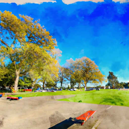
 Chewelah City Park
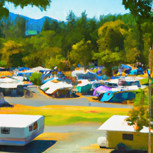 Colville Fairgrounds RV Park
 Flodelle Creek- State Forest
 Chewelah Park
 Yep-Kanum-Colville City Park
 Angus McDonald Park
 Douglas Falls Grange Park
 Colville National Forest