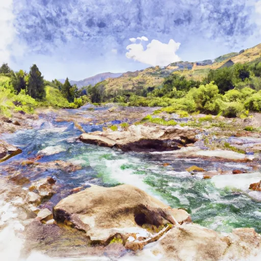
Salmon National Wild And Scenic River
Community Reviews
Been here? Share the conditions.
Reviews, ratings & photos are added in the free Snoflo iOS app — rate a spot, tag the conditions, and your visit is verified by location. Add or manage your reviews from the app.
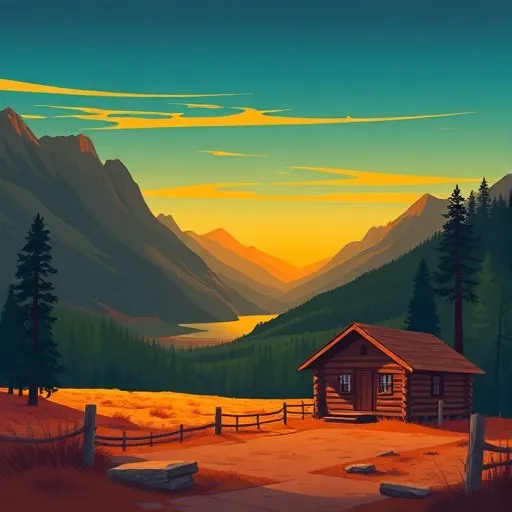
Salmon National Wild And Scenic River
Reasons to Visit:
1. Scenic Beauty: The Salmon River winds its way through the rugged canyons of central Idaho, surrounded by towering mountains, lush forests, and crystal-clear waters. It provides a picturesque backdrop for outdoor enthusiasts and nature lovers.
2. Whitewater Rafting: The Salmon River offers thrilling whitewater rafting experiences suitable for all skill levels. From calm stretches perfect for beginners to challenging rapids that will satisfy adrenaline junkies, there is something for everyone.
3. Fishing: The river is known for its outstanding fishing opportunities, particularly for Chinook salmon and steelhead. Anglers can enjoy fly fishing or traditional fishing methods to catch these prized fish.
4. Wildlife Viewing: The Salmon River corridor provides habitat for a diverse range of wildlife, including bald eagles, bighorn sheep, black bears, river otters, and various species of fish. Wildlife enthusiasts will delight in the chance to observe these creatures in their natural environment.
Points of Interest:
1. The Frank Church-River of No Return Wilderness: As the largest designated wilderness in the contiguous United States, this vast area adjacent to the Salmon River offers unparalleled opportunities for hiking, camping, and exploring remote, untouched landscapes.
2. Shoup Bridge: This historic suspension bridge, built in 1931, spans the Salmon River and provides a unique glimpse into the region's past. It is worth a visit for its architectural significance and scenic views.
3. Salmon River Scenic Byway: A drive along this 165-mile-long byway offers stunning vistas of the Salmon River, geological wonders, and access to various recreational activities. It is a great way to explore the area at a leisurely pace.
Interesting Facts:
1. The Salmon River is often referred to as the "River of No Return" due to its rugged canyons and challenging terrain, which made it difficult for early settlers to navigate and return upstream.
2. The river is home to one of the longest-running steelhead research programs in the United States, which has helped to conserve and protect these fish populations.
3. Lewis and Clark expedition members, including Meriwether Lewis himself, explored the Salmon River region in 1805 during their famous expedition to the Pacific Northwest.
Best Time to Visit:
The best time to visit the Salmon National Wild and Scenic River depends on your preferred activities. Whitewater rafting enthusiasts should aim for late spring to early summer when the river's flow is at its peak. Fishing for Chinook salmon typically occurs from May to July, while steelhead fishing is most productive from August to October. Hiking and wildlife viewing can be enjoyed throughout the summer and early fall when the weather is pleasant.
Sources:
- Bureau of Land Management: Salmon River
- Visit Idaho: Salmon River
- USDA Forest Service: Salmon Wild and Scenic River
Trails in Salmon National Wild And Scenic River
Named trails whose route falls inside the park.
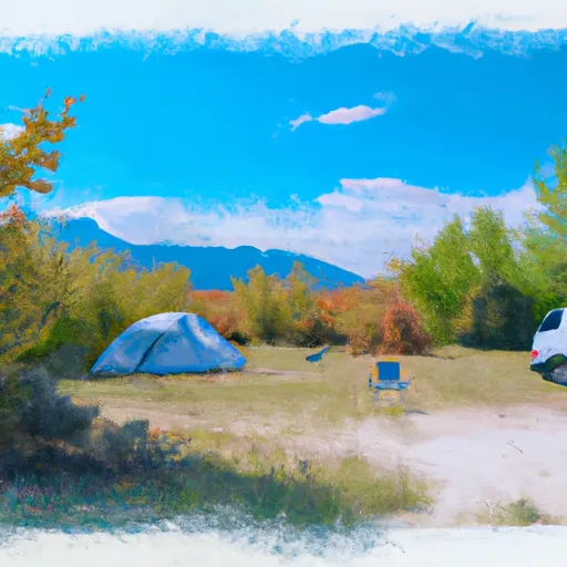
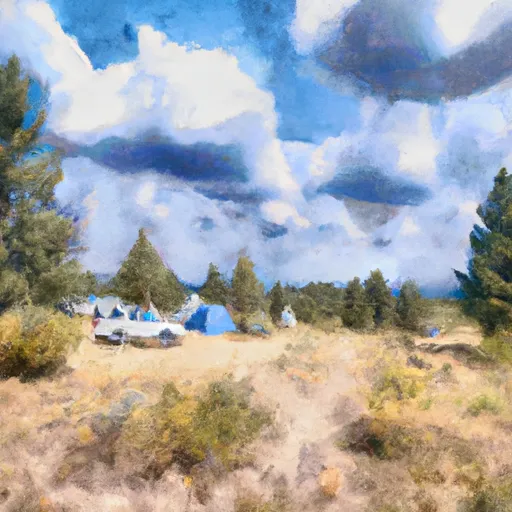
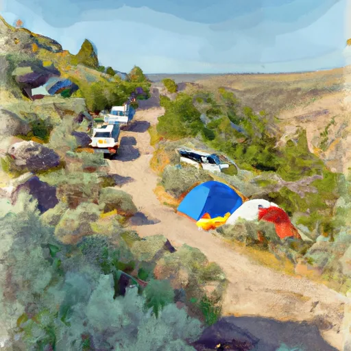
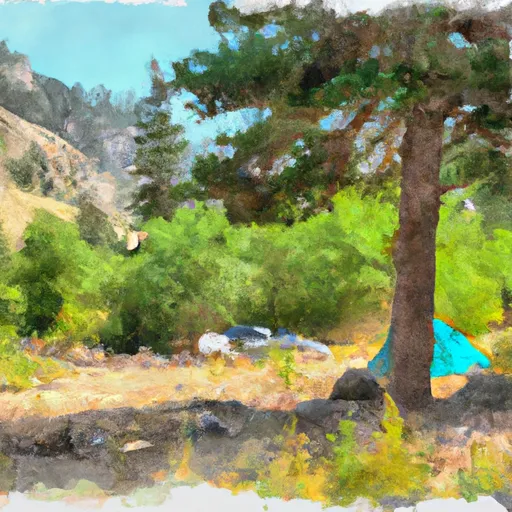
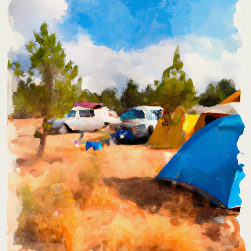
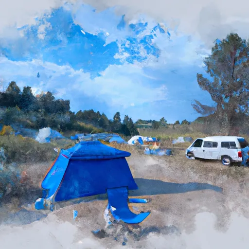
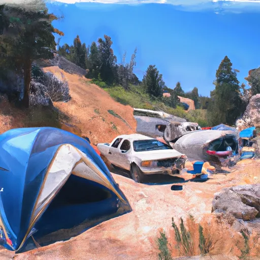
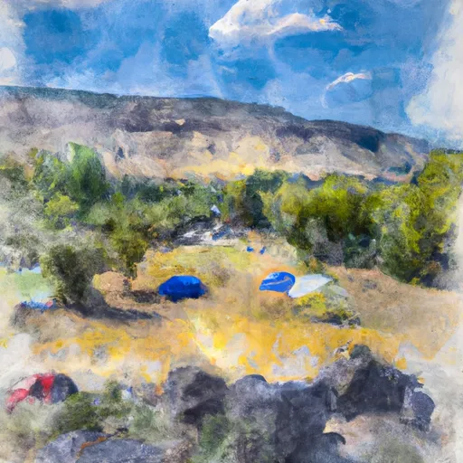
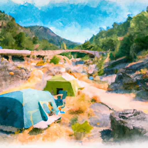
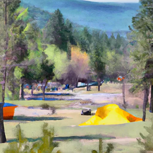
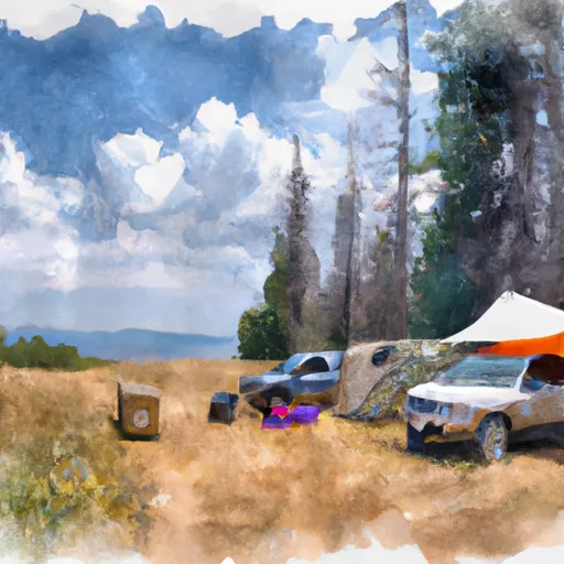
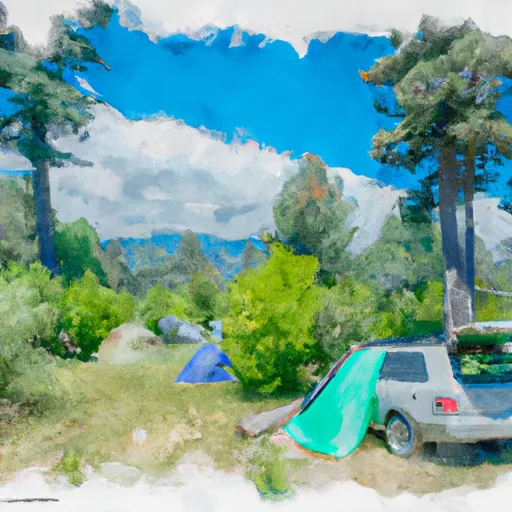
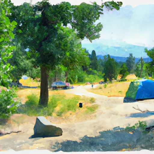
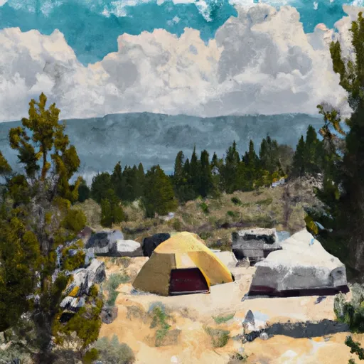
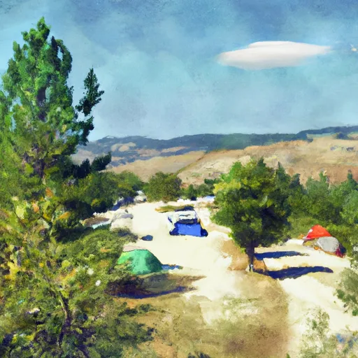
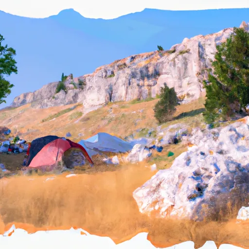
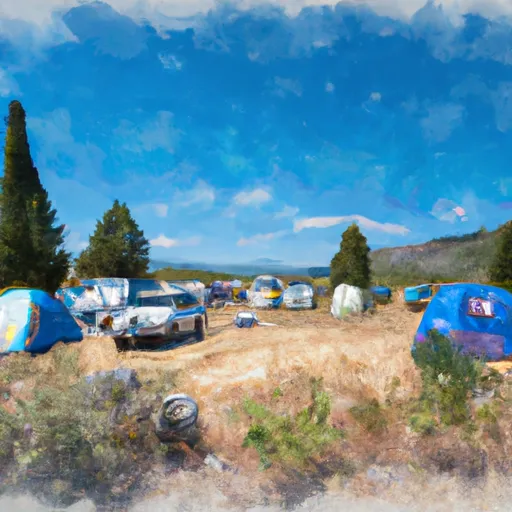
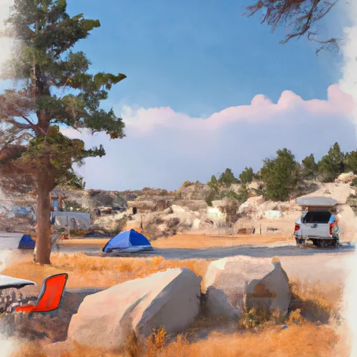
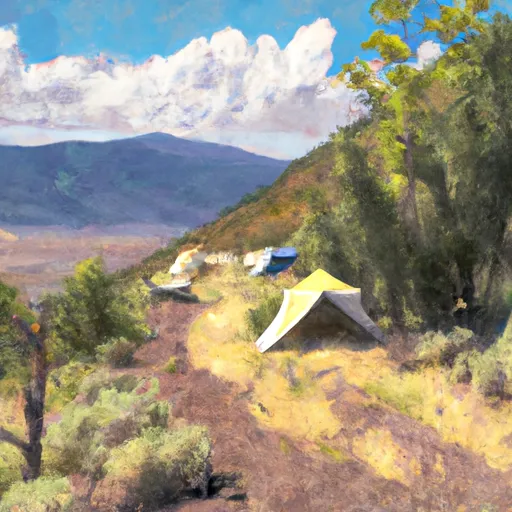
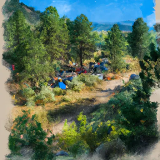
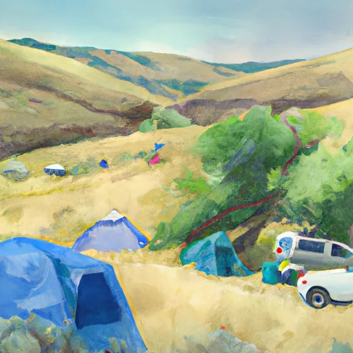
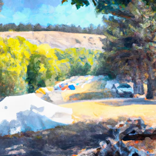
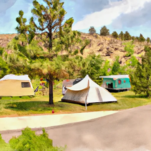
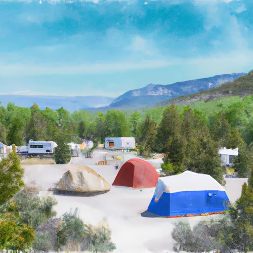
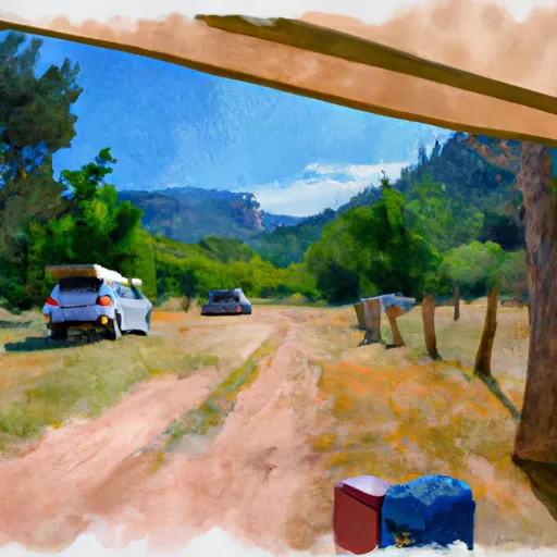
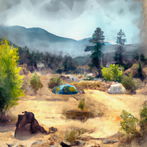
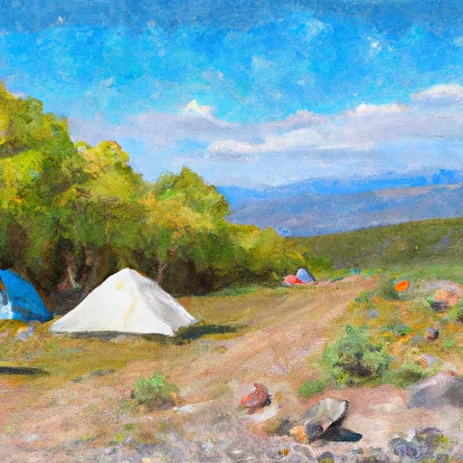
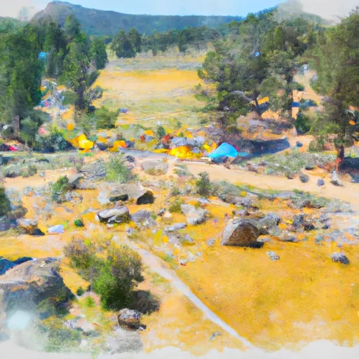
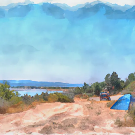
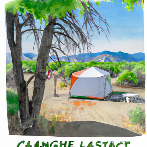
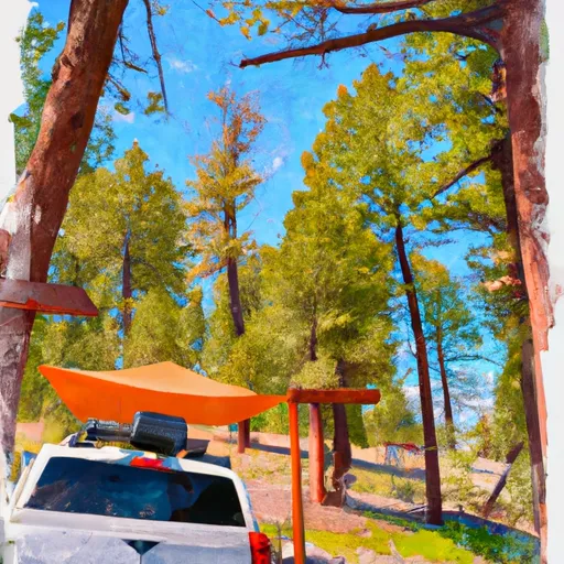
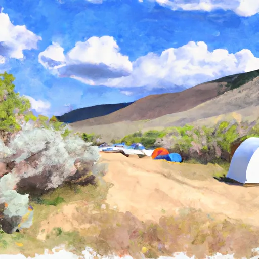
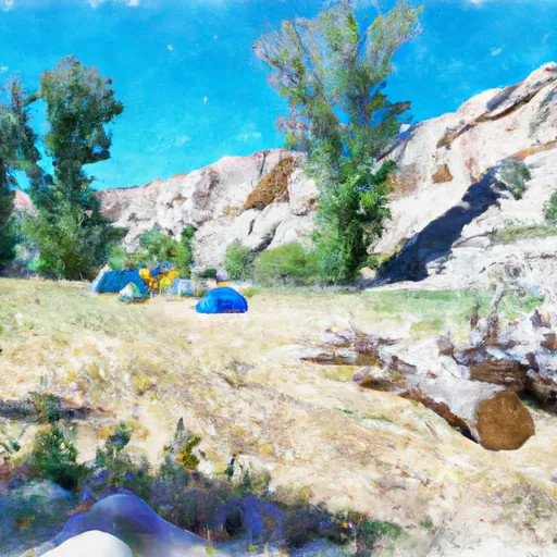
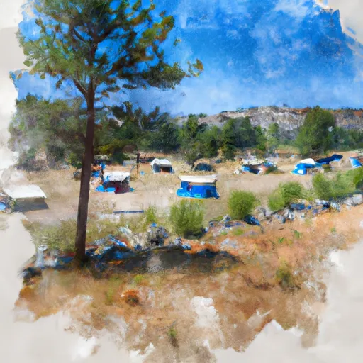
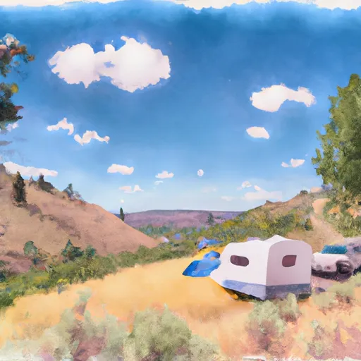
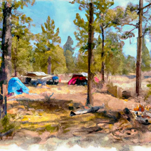
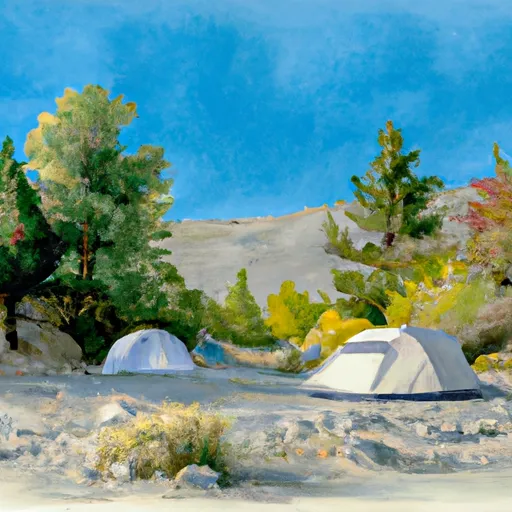
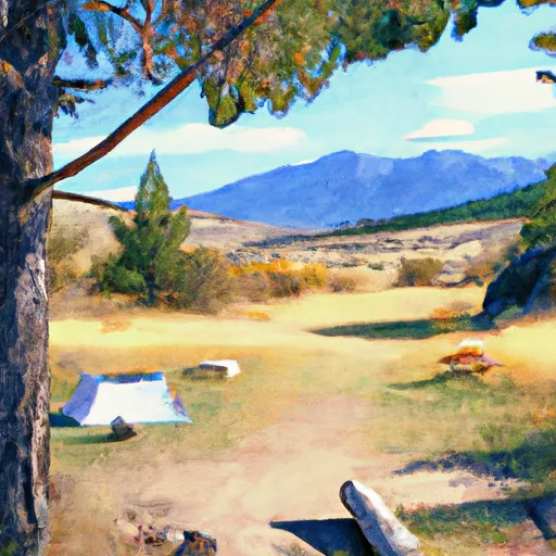
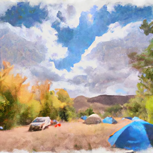
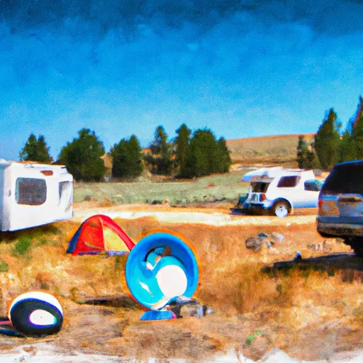
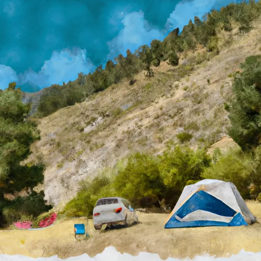
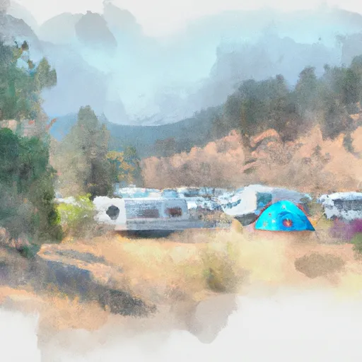
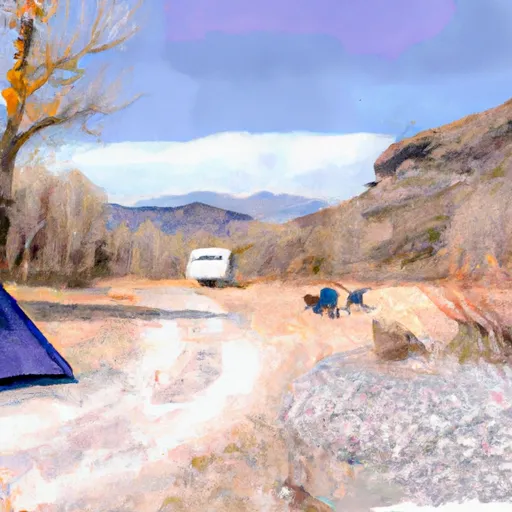
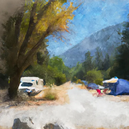
Camping in Salmon National Wild And Scenic River
Campgrounds inside the park, with today's conditions score.


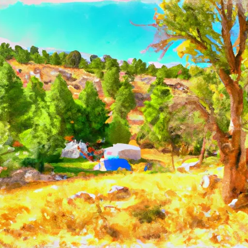
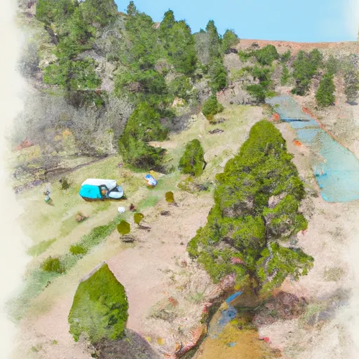
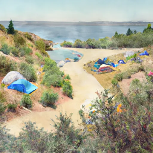

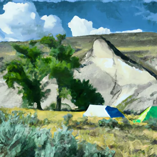

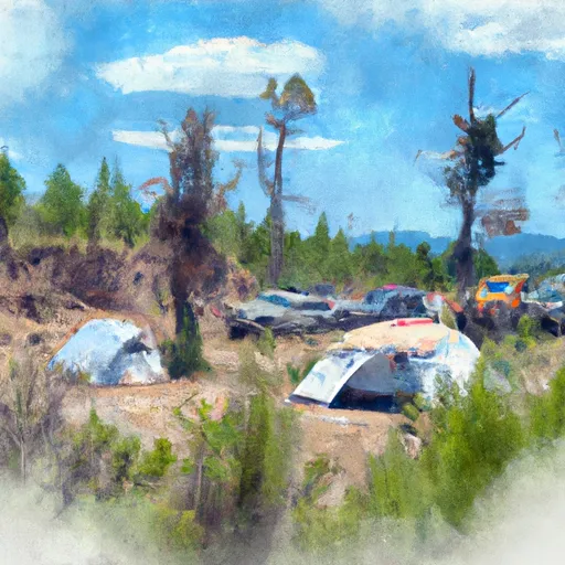
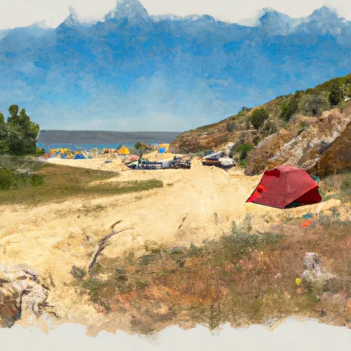


Points of interest in Salmon National Wild And Scenic River
Landmarks and points of interest inside the park boundary.
Plan your visit down to the hour
Same weather feed Snoflo's iOS app uses -- updated continuously from NOAA / yr.no.
Next 5 days, hour by hour
Temperature line with weather symbols on top, snow + rain accumulation as columns, humidity as a dotted line.
5-day forecast table
Every 3 hours, broken out across temperature, snow, rain, humidity, and wind.
| Time | Condition | Temp (°F) | Snow (in) | Rain (in) | Humidity (%) | Wind (mps) | Wind dir |
|---|---|---|---|---|---|---|---|
| Loading detailed forecast… | |||||||
15-day temperature & precipitation
Daily temperatures, snow, and rain projected over the next two weeks.
Responsible recreation & Leave No Trace
- Know before you go
- Check the operator's site for hours, permit requirements, seasonal closures, and fire restrictions before heading out.
- Stay on trail
- Stick to marked paths to protect vegetation, prevent erosion, and avoid disturbing wildlife habitat.
- Respect wildlife
- Observe from a distance, never feed wildlife, and store food securely if camping is permitted on-site.
- Pack it in, pack it out
- Carry out all trash, food scraps, and gear. Many parks have limited or no trash service.
- Leave what you find
- Don't take rocks, plants, or artifacts. They make the park what it is for the next visitor.
Set push alerts in the Snoflo app
Save Salmon National Wild And Scenic River as a favorite, set a custom threshold (precipitation, freezing temperatures, fire-restriction days), and the iOS app will push the moment conditions cross.
About Salmon National Wild And Scenic River
What can I do at Salmon National Wild And Scenic River?
Most Snoflo-tracked parks support hiking, picnicking, and wildlife viewing. Check the operator's site for activity-specific rules (camping, fishing, paddling, hunting).
How fresh is the weather data?
The hourly forecast updates throughout the day from NOAA / yr.no. Streamflow comes live from USGS streamgauges.
When is the best time to visit?
Use the 15-day temperature & precipitation outlook on this page to plan -- pick a window with comfortable temperatures and low precipitation.
How do I get to Salmon National Wild And Scenic River?
Tap Directions in the hero above to open driving directions in Google Maps, or Open in map to center the Snoflo interactive map on the park.
Can I get alerts when conditions change?
Yes -- alerts are managed in the Snoflo iOS app. Favorite this park, set a threshold (temperature, precipitation), and you'll get a push the moment it crosses.
Park & land designation reference
A quick legend for the federal and state land categories Snoflo tracks. Each designation comes with different rules around access, recreation, and resource extraction.
- National Park
- Large protected natural areas managed by the federal government to preserve significant landscapes, ecosystems, and cultural resources; recreation is allowed but conservation is the priority.
- State Park
- Public natural or recreational areas managed by a state government, typically smaller than national parks and focused on regional natural features, recreation, and education.
- Local Park
- Community-level parks managed by cities or counties, emphasizing recreation, playgrounds, sports, and green space close to populated areas.
- Wilderness Area
- The highest level of land protection in the U.S.; designated areas where nature is left essentially untouched, with no roads, structures, or motorized motorized access permitted.
- National Recreation Area
- Areas set aside primarily for outdoor recreation (boating, hiking, fishing, often around reservoirs, rivers, or scenic landscapes); may allow more development.
- National Conservation Area (BLM)
- BLM-managed areas with special ecological, cultural, or scientific value; more protection than typical BLM land but less strict than Wilderness Areas.
- State Forest
- State-managed forests focused on habitat, watershed, recreation, and sustainable timber harvest.
- Bureau of Land Management (BLM) Land
- Vast federal lands managed for mixed use -- recreation, grazing, mining, conservation -- with fewer restrictions than national parks or forests.