Community Reviews
Been here? Share the conditions.
Reviews, ratings & photos are added in the free Snoflo iOS app — rate a spot, tag the conditions, and your visit is verified by location. Add or manage your reviews from the app.
Westmoreland State Park
Reasons to visit Westmoreland State Park:
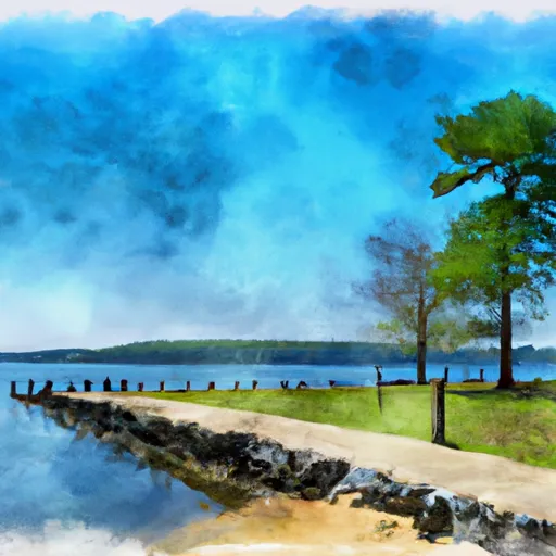
1. Natural beauty: The park boasts a stunning coastline along the Potomac River, providing visitors with opportunities for scenic views, sunsets, and relaxing beach walks.
2. Outdoor activities: Visitors can enjoy a range of outdoor activities including swimming, hiking, picnicking, fishing, and boating. The park offers several miles of hiking trails that showcase the region's diverse flora and fauna.
3. Fossil hunting: Westmoreland State Park is renowned for its fossil-rich cliffs. Fossil enthusiasts can join guided fossil hunts or explore the beach themselves to find various marine fossils dating back millions of years.
4. History and heritage: The park is home to the historic Civilian Conservation Corps (CCC) Museum, which provides insights into the park's past and showcases artifacts from the Great Depression era.
Points of interest at Westmoreland State Park:
1. Fossil Beach: Known as one of the best spots on the East Coast for fossil hunting, Fossil Beach offers visitors the chance to find shark teeth, whale bones, and other prehistoric treasures.
2. Horsehead Cliffs: These picturesque cliffs overlook the Potomac River and provide breathtaking views of the water and surrounding landscapes.
3. Cabin Colony: Westmoreland State Park offers cabin rentals, allowing visitors to enjoy a comfortable stay amidst nature.
Interesting facts about Westmoreland State Park:
1. The park's 1.5-mile beach is a popular spot for swimming and sunbathing during the summer months.
2. Westmoreland State Park was established in the 1930s as part of President Franklin D. Roosevelt's New Deal initiative.
3. The park is home to several species of wildlife, including bald eagles, ospreys, deer, and various migratory birds.
Best time of year to visit:
The best time to visit Westmoreland State Park is during the spring and fall seasons when the weather is mild and the park showcases vibrant foliage. The summer months are also popular due to the beach and swimming opportunities. However, it is important to note that the park can get crowded during weekends and holidays in the summer. It is advisable to check the park's official website or contact the park office for the most up-to-date information regarding opening hours, closures, and any specific events or programs.
Trails in Westmoreland State Park
Named trails whose route falls inside the park.
Plan your visit down to the hour
Same weather feed Snoflo's iOS app uses -- updated continuously from NOAA / yr.no.
Next 5 days, hour by hour
Temperature line with weather symbols on top, snow + rain accumulation as columns, humidity as a dotted line.
5-day forecast table
Every 3 hours, broken out across temperature, snow, rain, humidity, and wind.
| Time | Condition | Temp (°F) | Snow (in) | Rain (in) | Humidity (%) | Wind (mps) | Wind dir |
|---|---|---|---|---|---|---|---|
| Loading detailed forecast… | |||||||
15-day temperature & precipitation
Daily temperatures, snow, and rain projected over the next two weeks.
Responsible recreation & Leave No Trace
- Know before you go
- Check the operator's site for hours, permit requirements, seasonal closures, and fire restrictions before heading out.
- Stay on trail
- Stick to marked paths to protect vegetation, prevent erosion, and avoid disturbing wildlife habitat.
- Respect wildlife
- Observe from a distance, never feed wildlife, and store food securely if camping is permitted on-site.
- Pack it in, pack it out
- Carry out all trash, food scraps, and gear. Many parks have limited or no trash service.
- Leave what you find
- Don't take rocks, plants, or artifacts. They make the park what it is for the next visitor.
Set push alerts in the Snoflo app
Save Westmoreland State Park as a favorite, set a custom threshold (precipitation, freezing temperatures, fire-restriction days), and the iOS app will push the moment conditions cross.
About Westmoreland State Park
What can I do at Westmoreland State Park?
Most Snoflo-tracked parks support hiking, picnicking, and wildlife viewing. Check the operator's site for activity-specific rules (camping, fishing, paddling, hunting).
How fresh is the weather data?
The hourly forecast updates throughout the day from NOAA / yr.no. Streamflow comes live from USGS streamgauges.
When is the best time to visit?
Use the 15-day temperature & precipitation outlook on this page to plan -- pick a window with comfortable temperatures and low precipitation.
How do I get to Westmoreland State Park?
Tap Directions in the hero above to open driving directions in Google Maps, or Open in map to center the Snoflo interactive map on the park.
Can I get alerts when conditions change?
Yes -- alerts are managed in the Snoflo iOS app. Favorite this park, set a threshold (temperature, precipitation), and you'll get a push the moment it crosses.
Park & land designation reference
A quick legend for the federal and state land categories Snoflo tracks. Each designation comes with different rules around access, recreation, and resource extraction.
- National Park
- Large protected natural areas managed by the federal government to preserve significant landscapes, ecosystems, and cultural resources; recreation is allowed but conservation is the priority.
- State Park
- Public natural or recreational areas managed by a state government, typically smaller than national parks and focused on regional natural features, recreation, and education.
- Local Park
- Community-level parks managed by cities or counties, emphasizing recreation, playgrounds, sports, and green space close to populated areas.
- Wilderness Area
- The highest level of land protection in the U.S.; designated areas where nature is left essentially untouched, with no roads, structures, or motorized motorized access permitted.
- National Recreation Area
- Areas set aside primarily for outdoor recreation (boating, hiking, fishing, often around reservoirs, rivers, or scenic landscapes); may allow more development.
- National Conservation Area (BLM)
- BLM-managed areas with special ecological, cultural, or scientific value; more protection than typical BLM land but less strict than Wilderness Areas.
- State Forest
- State-managed forests focused on habitat, watershed, recreation, and sustainable timber harvest.
- Bureau of Land Management (BLM) Land
- Vast federal lands managed for mixed use -- recreation, grazing, mining, conservation -- with fewer restrictions than national parks or forests.