

Menard Island State Conservation Area
Last Updated: May 1, 2026
Leave a Rating°F
°F
mph
Wind
%
Humidity
Menard Island State Conservation Area is a protected area in Illinois that covers over 600 acres of land.
Summary
The conservation area is home to a diverse range of plant and animal species, making it an ideal place for nature lovers and outdoor enthusiasts.
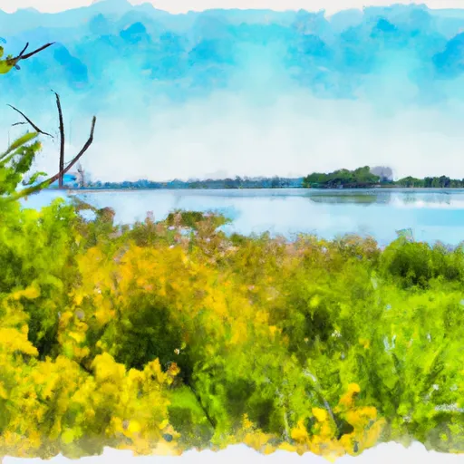
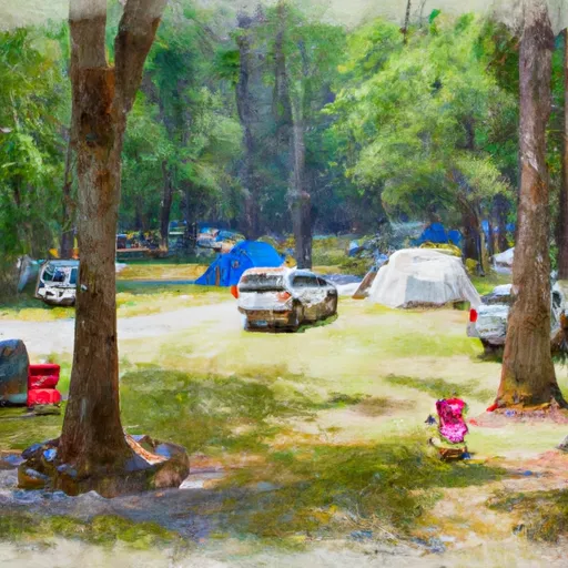
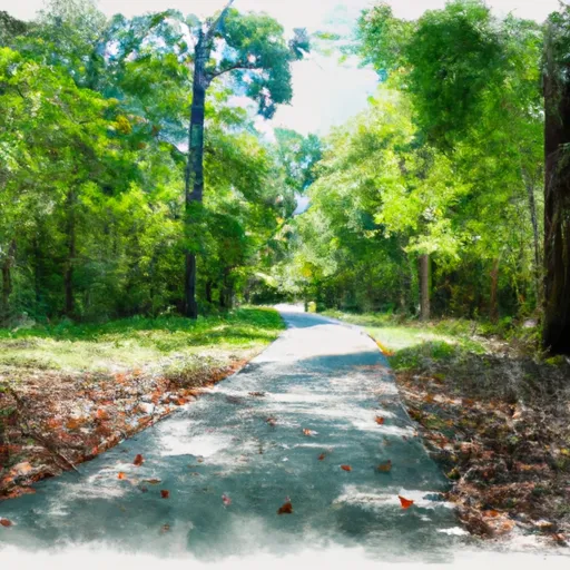
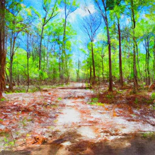
One of the main reasons to visit Menard Island State Conservation Area is to take in the beautiful scenery. The area is surrounded by lush forests, sparkling lakes, and meandering streams, all of which provide a tranquil backdrop for hiking, fishing, and camping.
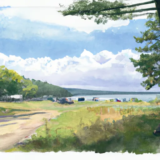
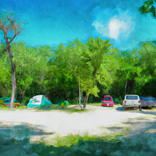
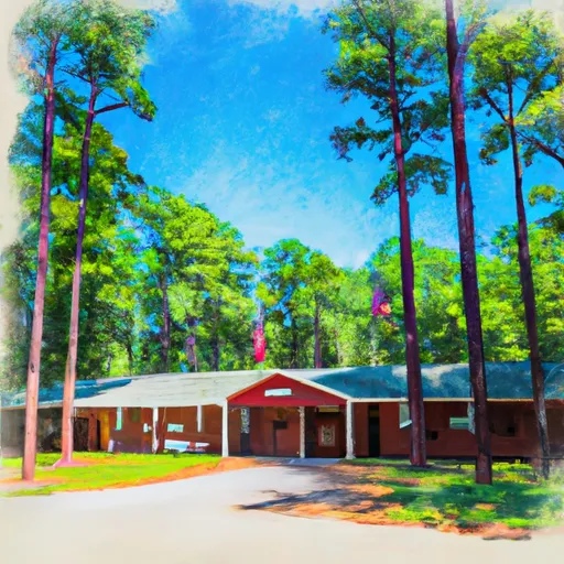
There are several specific points of interest to see at Menard Island State Conservation Area. The most notable is the Menard Island Trail, a scenic hiking trail that winds through the forest and along the shore of the lake. Visitors can also explore the numerous campsites, picnic areas, and fishing spots located throughout the area.
One interesting fact about Menard Island State Conservation Area is that it was once home to the Cherokee tribe of Native Americans. The conservation area is also an important habitat for several endangered species, including the eastern massasauga rattlesnake and the Indiana bat.
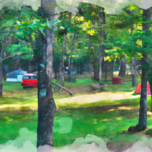
The best time of year to visit Menard Island State Conservation Area is during the spring and fall months, when the weather is mild and the foliage is at its most vibrant. However, the area is open year-round and offers activities for visitors in all seasons.
Overall, Menard Island State Conservation Area is a must-visit destination for anyone looking to experience the natural beauty and diverse wildlife of Illinois.
15-Day Long Term Forecast
5-Day Hourly Forecast Detail
Park & Land Designation Reference
Large protected natural areas managed by the federal government to preserve significant landscapes, ecosystems, and cultural resources; recreation is allowed but conservation is the priority.
State Park
Public natural or recreational areas managed by a state government, typically smaller than national parks and focused on regional natural features, recreation, and education.
Local Park
Community-level parks managed by cities or counties, emphasizing recreation, playgrounds, sports, and green space close to populated areas.
Wilderness Area
The highest level of land protection in the U.S.; designated areas where nature is left essentially untouched, with no roads, structures, or motorized access permitted.
National Recreation Area
Areas set aside primarily for outdoor recreation (boating, hiking, fishing), often around reservoirs, rivers, or scenic landscapes; may allow more development.
National Conservation Area (BLM)
BLM-managed areas with special ecological, cultural, or scientific value; more protection than typical BLM land but less strict than Wilderness Areas.
State Forest
State-managed forests focused on habitat, watershed, recreation, and sustainable timber harvest.
National Forest
Federally managed lands focused on multiple use—recreation, wildlife habitat, watershed protection, and resource extraction (like timber)—unlike the stricter protections of national parks.
Wilderness
A protected area set aside to conserve specific resources—such as wildlife, habitats, or scientific features—with regulations varying widely depending on the managing agency and purpose.
Bureau of Land Management (BLM) Land
Vast federal lands managed for mixed use—recreation, grazing, mining, conservation—with fewer restrictions than national parks or forests.
Related References
Area Campgrounds
| Location | Reservations | Toilets |
|---|---|---|
 Otter Lake
|
||
 Otter Lake County Park Campground
|
||
 Sara Park
|
||
 Underdown County Park Campground
|
 Woodboro Lakes Wildlife Area
 Almon Park Trail
 State Forest American Legion
 Hodag Park
 Northern Highland-American Legion State Forest