Community Reviews
Been here? Share the conditions.
Reviews, ratings & photos are added in the free Snoflo iOS app — rate a spot, tag the conditions, and your visit is verified by location. Add or manage your reviews from the app.
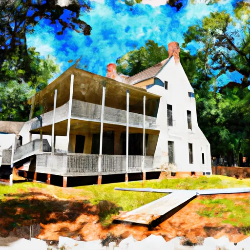
Winterville State Historic Site
Reasons to Visit:
1. Historical Significance: Winterville was a major ceremonial center of the prehistoric Native American civilization known as the Mississippians. The site offers an opportunity to explore and learn about this ancient culture.
2. Architectural Marvels: Winterville features 12 mounds, including a massive central mound that stands 55 feet high. These mounds were constructed by the Mississippians for ceremonial and elite residential purposes.
3. Museum and Artifacts: The site's museum showcases a variety of artifacts discovered during archaeological excavations, including pottery, tools, and jewelry. It provides insights into the daily lives and customs of the Mississippians.
4. Educational Experience: Visitors can participate in guided tours and educational programs led by knowledgeable staff, providing a deeper understanding of the site's historical and cultural significance.
Points of Interest:
1. The Great Mound: The central mound, also known as Mound A, is the largest and most impressive structure at Winterville. Visitors can climb to the top, offering panoramic views of the surrounding area.
2. The Museum: The onsite museum houses a diverse collection of artifacts, including an intricately decorated pottery vessel known as the "Hoe-Shaped Vessel." Exhibits delve into the history and culture of the Mississippians and the Winterville site.
3. Nature Trails: Winterville features scenic nature trails that wind through the surrounding forested area. Visitors can enjoy a peaceful stroll while immersing themselves in the beauty of the natural surroundings.
Interesting Facts:
1. Winterville was inhabited from approximately 1000 to 1450 CE by the Mississippians, who were skilled farmers, traders, and builders of large earthwork structures.
2. The site was rediscovered in the 19th century and initially named "Winterville" due to its location near the town of Greenville, Mississippi.
3. Archaeological excavations at Winterville have revealed evidence of a complex society with a hierarchical structure, indicated by the construction of monumental mounds and the presence of high-status burials.
Best Time to Visit:
The best time to visit Winterville State Historic Site is during the months of spring (March to May) and fall (September to November). The weather during these seasons is generally mild, making it ideal for exploring the outdoor trails and climbing the mounds. Summers can be hot and humid, while winters might have colder temperatures and occasional rainfall.
It is always recommended to visit the official website or contact the site directly to ensure accurate and up-to-date information before planning a trip to Winterville State Historic Site.
Plan your visit down to the hour
Same weather feed Snoflo's iOS app uses -- updated continuously from NOAA / yr.no.
Next 5 days, hour by hour
Temperature line with weather symbols on top, snow + rain accumulation as columns, humidity as a dotted line.
5-day forecast table
Every 3 hours, broken out across temperature, snow, rain, humidity, and wind.
| Time | Condition | Temp (°F) | Snow (in) | Rain (in) | Humidity (%) | Wind (mps) | Wind dir |
|---|---|---|---|---|---|---|---|
| Loading detailed forecast… | |||||||
15-day temperature & precipitation
Daily temperatures, snow, and rain projected over the next two weeks.
Responsible recreation & Leave No Trace
- Know before you go
- Check the operator's site for hours, permit requirements, seasonal closures, and fire restrictions before heading out.
- Stay on trail
- Stick to marked paths to protect vegetation, prevent erosion, and avoid disturbing wildlife habitat.
- Respect wildlife
- Observe from a distance, never feed wildlife, and store food securely if camping is permitted on-site.
- Pack it in, pack it out
- Carry out all trash, food scraps, and gear. Many parks have limited or no trash service.
- Leave what you find
- Don't take rocks, plants, or artifacts. They make the park what it is for the next visitor.
Set push alerts in the Snoflo app
Save Winterville State Historic Site as a favorite, set a custom threshold (precipitation, freezing temperatures, fire-restriction days), and the iOS app will push the moment conditions cross.
About Winterville State Historic Site
What can I do at Winterville State Historic Site?
Most Snoflo-tracked parks support hiking, picnicking, and wildlife viewing. Check the operator's site for activity-specific rules (camping, fishing, paddling, hunting).
How fresh is the weather data?
The hourly forecast updates throughout the day from NOAA / yr.no. Streamflow comes live from USGS streamgauges.
When is the best time to visit?
Use the 15-day temperature & precipitation outlook on this page to plan -- pick a window with comfortable temperatures and low precipitation.
How do I get to Winterville State Historic Site?
Tap Directions in the hero above to open driving directions in Google Maps, or Open in map to center the Snoflo interactive map on the park.
Can I get alerts when conditions change?
Yes -- alerts are managed in the Snoflo iOS app. Favorite this park, set a threshold (temperature, precipitation), and you'll get a push the moment it crosses.
Park & land designation reference
A quick legend for the federal and state land categories Snoflo tracks. Each designation comes with different rules around access, recreation, and resource extraction.
- National Park
- Large protected natural areas managed by the federal government to preserve significant landscapes, ecosystems, and cultural resources; recreation is allowed but conservation is the priority.
- State Park
- Public natural or recreational areas managed by a state government, typically smaller than national parks and focused on regional natural features, recreation, and education.
- Local Park
- Community-level parks managed by cities or counties, emphasizing recreation, playgrounds, sports, and green space close to populated areas.
- Wilderness Area
- The highest level of land protection in the U.S.; designated areas where nature is left essentially untouched, with no roads, structures, or motorized motorized access permitted.
- National Recreation Area
- Areas set aside primarily for outdoor recreation (boating, hiking, fishing, often around reservoirs, rivers, or scenic landscapes); may allow more development.
- National Conservation Area (BLM)
- BLM-managed areas with special ecological, cultural, or scientific value; more protection than typical BLM land but less strict than Wilderness Areas.
- State Forest
- State-managed forests focused on habitat, watershed, recreation, and sustainable timber harvest.
- Bureau of Land Management (BLM) Land
- Vast federal lands managed for mixed use -- recreation, grazing, mining, conservation -- with fewer restrictions than national parks or forests.