


Rice Beds Creek Wildlife Area
Last Updated: April 29, 2026
Leave a Rating°F
°F
mph
Wind
%
Humidity
Rice Beds Creek Wildlife Area is a wildlife management area located in Morehouse Parish, Louisiana.
Summary
The area covers over 6,200 acres and is home to a diverse range of flora and fauna, making it a popular destination for nature enthusiasts and hunters alike.
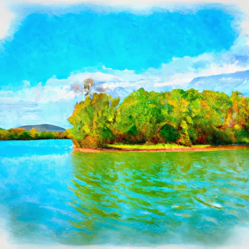
Visitors can enjoy hiking, bird watching, and observing the wildlife, including deer, turkey, waterfowl, and small game. The area also features several bodies of water, including Rice Beds Creek and Bayou Bartholomew, which offer opportunities for fishing and boating.
One of the most notable features of the Rice Beds Creek Wildlife Area is its extensive wetlands, which provide important habitat for a variety of plant and animal species. The area is also home to several rare and endangered species, including the Louisiana pine snake and the red-cockaded woodpecker.
The best time to visit the Rice Beds Creek Wildlife Area is during the fall and winter months, when the weather is mild and the wildlife is most active. Hunters should also note that the area is open for deer and turkey hunting during the appropriate seasons.
Overall, the Rice Beds Creek Wildlife Area offers visitors a unique opportunity to experience Louisiana's natural beauty and diverse wildlife, and is definitely worth a visit for anyone who appreciates the great outdoors.
15-Day Long Term Forecast
5-Day Hourly Forecast Detail
Park & Land Designation Reference
Large protected natural areas managed by the federal government to preserve significant landscapes, ecosystems, and cultural resources; recreation is allowed but conservation is the priority.
State Park
Public natural or recreational areas managed by a state government, typically smaller than national parks and focused on regional natural features, recreation, and education.
Local Park
Community-level parks managed by cities or counties, emphasizing recreation, playgrounds, sports, and green space close to populated areas.
Wilderness Area
The highest level of land protection in the U.S.; designated areas where nature is left essentially untouched, with no roads, structures, or motorized access permitted.
National Recreation Area
Areas set aside primarily for outdoor recreation (boating, hiking, fishing), often around reservoirs, rivers, or scenic landscapes; may allow more development.
National Conservation Area (BLM)
BLM-managed areas with special ecological, cultural, or scientific value; more protection than typical BLM land but less strict than Wilderness Areas.
State Forest
State-managed forests focused on habitat, watershed, recreation, and sustainable timber harvest.
National Forest
Federally managed lands focused on multiple use—recreation, wildlife habitat, watershed protection, and resource extraction (like timber)—unlike the stricter protections of national parks.
Wilderness
A protected area set aside to conserve specific resources—such as wildlife, habitats, or scientific features—with regulations varying widely depending on the managing agency and purpose.
Bureau of Land Management (BLM) Land
Vast federal lands managed for mixed use—recreation, grazing, mining, conservation—with fewer restrictions than national parks or forests.
Related References
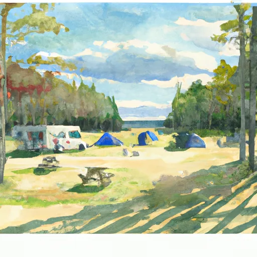
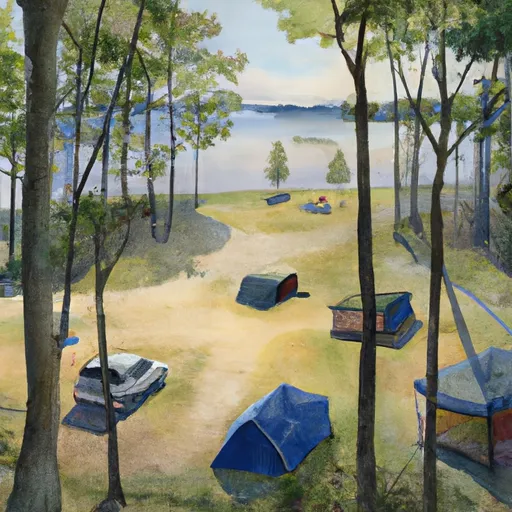
Area Campgrounds
| Location | Reservations | Toilets |
|---|---|---|
 DN Campground
|
||
 Apple River Park & Campground
|
||
 Turtle Lake City Park
|
||
 Village Park Campground
|
||
 Balsam Lake Pine Park - Town
|
||
 Balsam Lake Campground
|
 Loon Lake Wildlife Area
 State Forest State Owned Islands
 Grenquist Park
 Mc Kenzie Creek Wildlife Area
 Balsam Branch Wildlife Area