Wilderness Selway-Bitterroot
Community Reviews
Been here? Share the conditions.
Reviews, ratings & photos are added in the free Snoflo iOS app — rate a spot, tag the conditions, and your visit is verified by location. Add or manage your reviews from the app.

Wilderness Selway-Bitterroot
One compelling reason to visit the Selway-Bitterroot Wilderness is its pristine and untouched landscapes. From rugged mountains to pristine rivers and dense forests, the area boasts a diverse ecosystem that supports a wide variety of wildlife, including elk, black bears, mountain lions, and numerous bird species. This makes it an ideal destination for wildlife spotting and photography.
Hiking enthusiasts will find an extensive network of trails within the Selway-Bitterroot Wilderness. These trails offer various levels of difficulty, catering to both experienced backpackers and casual day hikers. The Magruder Corridor, a historic wagon road, is a particularly popular trail that takes hikers through stunning vistas and significant historical sites.
One of the most iconic points of interest within the Selway-Bitterroot Wilderness is the Selway River. This wild and scenic river offers incredible fishing opportunities, as it is home to native trout species. Rafting and kayaking down the Selway River is also a thrilling adventure that allows visitors to navigate rapids and enjoy the stunning river canyon scenery.
Interesting facts about the Selway-Bitterroot Wilderness include its designation as one of the original wilderness areas under the Wilderness Act of 1964. It is also the largest wilderness area in Montana and part of the larger Selway-Bitterroot Ecosystem, which stretches across Idaho and Montana. This ecosystem is renowned for its biological diversity and is home to several rare and sensitive species.
The best time to visit the Selway-Bitterroot Wilderness depends on the activities you wish to pursue. Summer (June to August) is the peak season, offering ideal weather conditions for hiking, fishing, and camping. However, expect increased crowds during this time. Spring and fall offer milder temperatures and fewer visitors, making them great alternatives for those seeking solitude and stunning fall foliage.
It is crucial to verify this information across multiple independent sources to ensure accuracy, as details and conditions can change over time.
Snowpack in Wilderness Selway-Bitterroot
Current snow depth at SNOTEL stations inside the park boundary.
Trails in Wilderness Selway-Bitterroot
Named trails whose route falls inside the park.
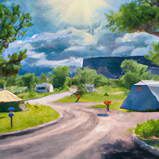
Camping in Wilderness Selway-Bitterroot
Campgrounds inside the park, with today's conditions score.


Plan your visit down to the hour
Same weather feed Snoflo's iOS app uses -- updated continuously from NOAA / yr.no.
Next 5 days, hour by hour
Temperature line with weather symbols on top, snow + rain accumulation as columns, humidity as a dotted line.
5-day forecast table
Every 3 hours, broken out across temperature, snow, rain, humidity, and wind.
| Time | Condition | Temp (°F) | Snow (in) | Rain (in) | Humidity (%) | Wind (mps) | Wind dir |
|---|---|---|---|---|---|---|---|
| Loading detailed forecast… | |||||||
15-day temperature & precipitation
Daily temperatures, snow, and rain projected over the next two weeks.
Responsible recreation & Leave No Trace
- Know before you go
- Check the operator's site for hours, permit requirements, seasonal closures, and fire restrictions before heading out.
- Stay on trail
- Stick to marked paths to protect vegetation, prevent erosion, and avoid disturbing wildlife habitat.
- Respect wildlife
- Observe from a distance, never feed wildlife, and store food securely if camping is permitted on-site.
- Pack it in, pack it out
- Carry out all trash, food scraps, and gear. Many parks have limited or no trash service.
- Leave what you find
- Don't take rocks, plants, or artifacts. They make the park what it is for the next visitor.
Set push alerts in the Snoflo app
Save Wilderness Selway-Bitterroot as a favorite, set a custom threshold (precipitation, freezing temperatures, fire-restriction days), and the iOS app will push the moment conditions cross.
About Wilderness Selway-Bitterroot
What can I do at Wilderness Selway-Bitterroot?
Most Snoflo-tracked parks support hiking, picnicking, and wildlife viewing. Check the operator's site for activity-specific rules (camping, fishing, paddling, hunting).
How fresh is the weather data?
The hourly forecast updates throughout the day from NOAA / yr.no. Streamflow comes live from USGS streamgauges.
When is the best time to visit?
Use the 15-day temperature & precipitation outlook on this page to plan -- pick a window with comfortable temperatures and low precipitation.
How do I get to Wilderness Selway-Bitterroot?
Tap Directions in the hero above to open driving directions in Google Maps, or Open in map to center the Snoflo interactive map on the park.
Can I get alerts when conditions change?
Yes -- alerts are managed in the Snoflo iOS app. Favorite this park, set a threshold (temperature, precipitation), and you'll get a push the moment it crosses.
Park & land designation reference
A quick legend for the federal and state land categories Snoflo tracks. Each designation comes with different rules around access, recreation, and resource extraction.
- National Park
- Large protected natural areas managed by the federal government to preserve significant landscapes, ecosystems, and cultural resources; recreation is allowed but conservation is the priority.
- State Park
- Public natural or recreational areas managed by a state government, typically smaller than national parks and focused on regional natural features, recreation, and education.
- Local Park
- Community-level parks managed by cities or counties, emphasizing recreation, playgrounds, sports, and green space close to populated areas.
- Wilderness Area
- The highest level of land protection in the U.S.; designated areas where nature is left essentially untouched, with no roads, structures, or motorized motorized access permitted.
- National Recreation Area
- Areas set aside primarily for outdoor recreation (boating, hiking, fishing, often around reservoirs, rivers, or scenic landscapes); may allow more development.
- National Conservation Area (BLM)
- BLM-managed areas with special ecological, cultural, or scientific value; more protection than typical BLM land but less strict than Wilderness Areas.
- State Forest
- State-managed forests focused on habitat, watershed, recreation, and sustainable timber harvest.
- Bureau of Land Management (BLM) Land
- Vast federal lands managed for mixed use -- recreation, grazing, mining, conservation -- with fewer restrictions than national parks or forests.