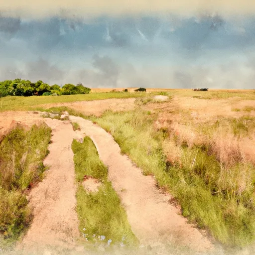
Chris Larsen Park
Rate this placeNearby: Scenic Park Klasey Park
Last Updated: February 2, 2026
Chris Larsen Park is a popular destination located in the city of Sioux City, Nebraska, and is named after a local philanthropist.
°F
°F
mph
Wind
%
Humidity
15-Day Weather Outlook
Summary
The park covers an area of over 110 acres and offers a wide range of recreational activities and attractions for visitors of all ages.
One of the main reasons to visit Chris Larsen Park is its beautiful scenery. The park is nestled by the Missouri River and features stunning views of the city's skyline and nearby bluffs. Visitors can enjoy walking trails, picnic areas, and playgrounds for children, making it an ideal spot for a family outing.
A prominent point of interest at the park is the Sioux City Lewis and Clark Interpretive Center, which showcases the history of the Lewis and Clark expedition and its impact on the region. The center features interactive exhibits, displays, and artifacts, providing visitors with a unique learning experience.
Additional attractions include the Betty Strong Encounter Center, which highlights the history and culture of the region's Native American tribes, and the Sergeant Floyd River Museum and Welcome Center, which offers exhibits and information about the Missouri River and its significance to the area.
Interesting facts about the park include its role as a former site for military training during World War II and its connection to local philanthropist Chris Larsen, who donated $5 million towards the development of the park.
The best time of year to visit Chris Larsen Park is during the summer months, as the weather is warm and the park offers a variety of outdoor activities such as fishing and boating. However, visitors can enjoy the park's scenic views and indoor attractions year-round.
Hourly Weather Forecast
Park & Land Designation Reference
Large protected natural areas managed by the federal government to preserve significant landscapes, ecosystems, and cultural resources; recreation is allowed but conservation is the priority.
State Park
Public natural or recreational areas managed by a state government, typically smaller than national parks and focused on regional natural features, recreation, and education.
Local Park
Community-level parks managed by cities or counties, emphasizing recreation, playgrounds, sports, and green space close to populated areas.
Wilderness Area
The highest level of land protection in the U.S.; designated areas where nature is left essentially untouched, with no roads, structures, or motorized access permitted.
National Recreation Area
Areas set aside primarily for outdoor recreation (boating, hiking, fishing), often around reservoirs, rivers, or scenic landscapes; may allow more development.
National Conservation Area (BLM)
BLM-managed areas with special ecological, cultural, or scientific value; more protection than typical BLM land but less strict than Wilderness Areas.
State Forest
State-managed forests focused on habitat, watershed, recreation, and sustainable timber harvest.
National Forest
Federally managed lands focused on multiple use—recreation, wildlife habitat, watershed protection, and resource extraction (like timber)—unlike the stricter protections of national parks.
Wilderness
A protected area set aside to conserve specific resources—such as wildlife, habitats, or scientific features—with regulations varying widely depending on the managing agency and purpose.
Bureau of Land Management (BLM) Land
Vast federal lands managed for mixed use—recreation, grazing, mining, conservation—with fewer restrictions than national parks or forests.
Related References

 Scenic Park
 Klasey Park
 Anderson Dance Pavillion
 War Eagle Park
 Sioux City State Prairie Preserve