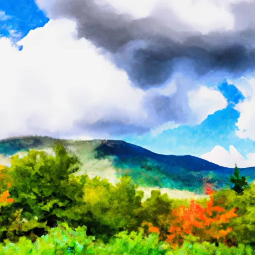
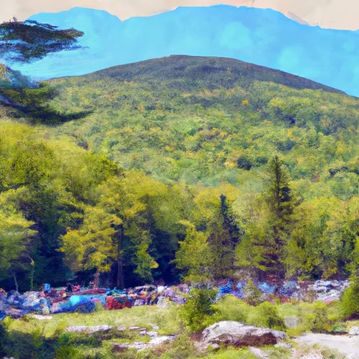
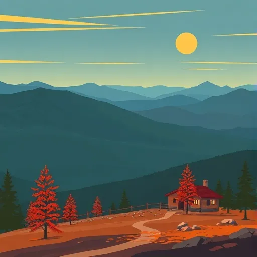
White Mountain National Forest
Community Reviews
Been here? Share the conditions.
Reviews, ratings & photos are added in the free Snoflo iOS app — rate a spot, tag the conditions, and your visit is verified by location. Add or manage your reviews from the app.
White Mountain National Forest
Reasons to Visit:
1. Scenic Beauty: The White Mountains boast picturesque landscapes including forests, lakes, rivers, and majestic peaks, making it a paradise for nature enthusiasts and photographers.
2. Outdoor Recreation: The forest offers numerous recreational activities such as hiking, camping, fishing, boating, wildlife watching, skiing, and snowboarding, catering to all skill levels and interests.
3. Mount Washington: Home to the highest peak in the Northeastern United States, Mount Washington offers stunning panoramic views and challenging hikes.
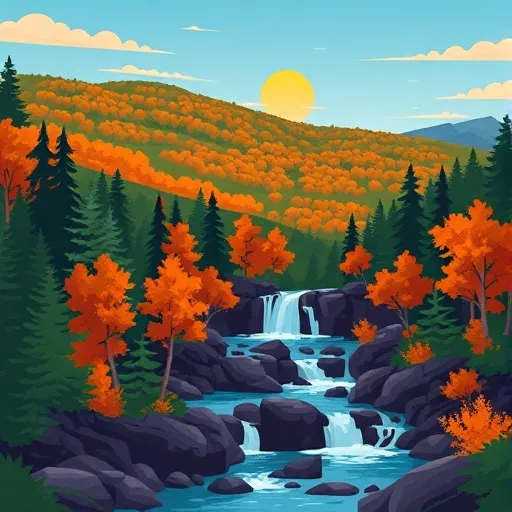
4. Waterfalls: The region features an abundance of stunning waterfalls, such as the popular Sabbaday Falls, Diana's Baths, and Arethusa Falls, offering great opportunities for photography and relaxation.
5. Wildlife: White Mountain National Forest is home to a diverse array of wildlife, including moose, black bears, white-tailed deer, foxes, and a variety of bird species, providing ample opportunities for wildlife spotting.
Points of Interest:
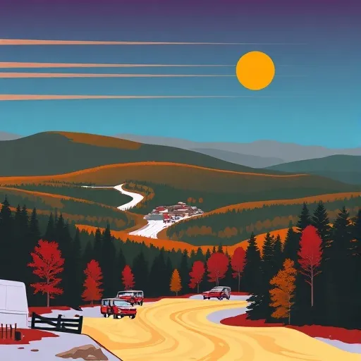
1. Kancamagus Highway: This scenic byway runs through the heart of the forest, offering breathtaking views, trailheads, picnic areas, and access to several waterfalls.
2. Franconia Notch State Park: Located within the forest, this park features iconic attractions like the Flume Gorge, Cannon Mountain Aerial Tramway, and the Basin, a natural granite pothole.
3. Mount Washington Cog Railway: Embark on an unforgettable journey to the summit of Mount Washington aboard the historic cog railway, enjoying spectacular views along the way.
4. Lost River Gorge & Boulder Caves: Explore a series of caves, waterfalls, and glacial boulders along a wooden boardwalk, providing a unique adventure for all ages.
Interesting Facts:
1. White Mountain National Forest spans over 750,000 acres, encompassing parts of New Hampshire and Maine.
2. Established in 1918, it is one of the most visited national forests in the United States.
3. The forest contains over 1,200 miles of hiking trails, including a portion of the famous Appalachian Trail.
4. The area is known for its extreme weather conditions, including strong winds, cold temperatures, and heavy snowfall, especially on Mount Washington.
Best Time to Visit:
The ideal time to visit White Mountain National Forest depends on the activities you wish to partake in. Summer (June to August) offers pleasant weather for hiking, camping, and exploring waterfalls. Fall foliage season (late September to early October) attracts visitors with its vibrant display of colors, making it a popular time to visit. Winter (December to February) provides opportunities for skiing, snowboarding, and winter photography. Spring (April to May) offers milder temperatures, blooming wildflowers, and fewer crowds for those seeking a peaceful experience.
Sources:
- United States Forest Service: White Mountain National Forest
- Visit White Mountains
- New Hampshire State Parks
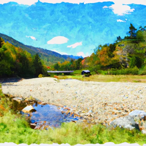
Streamflow in White Mountain National Forest
Live USGS discharge at streamgauges inside the park boundary.
Snowpack in White Mountain National Forest
Current snow depth at SNOTEL stations inside the park boundary.
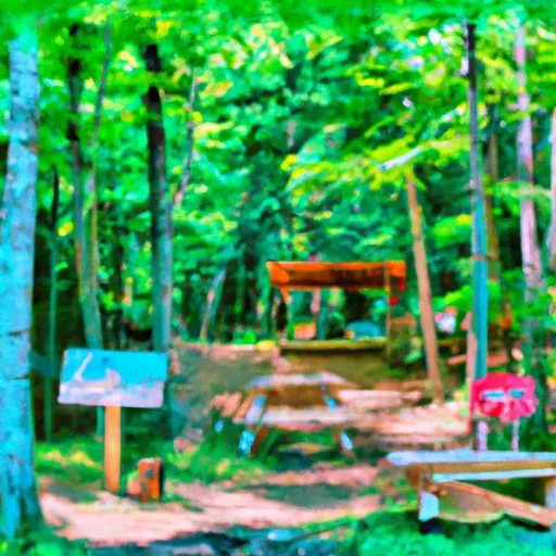
Trails in White Mountain National Forest
Named trails whose route falls inside the park.
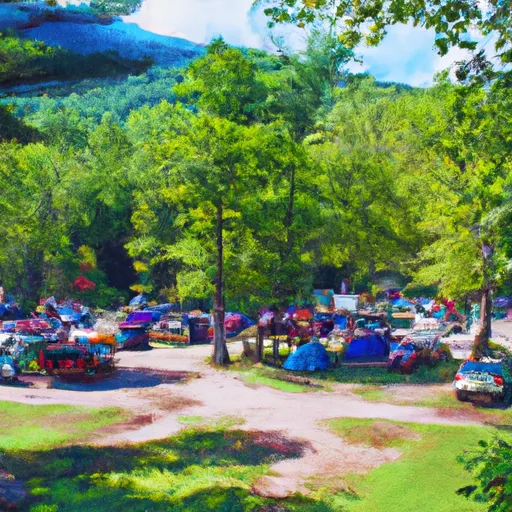
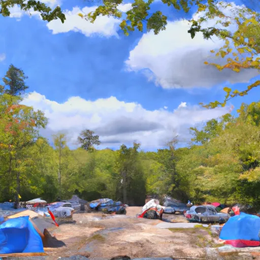
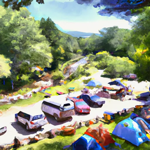
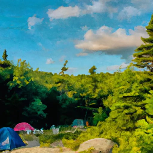
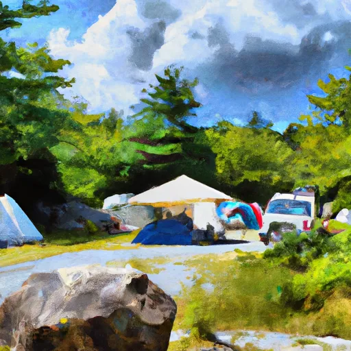
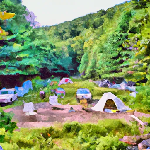
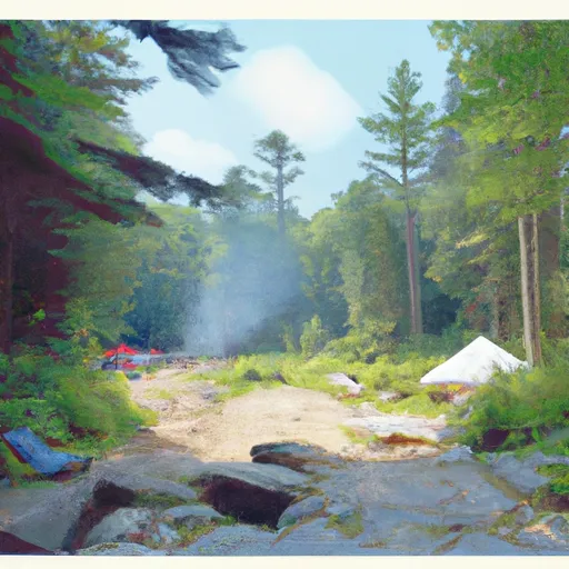
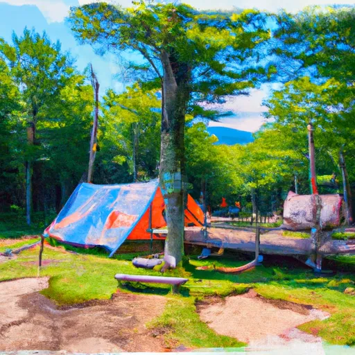
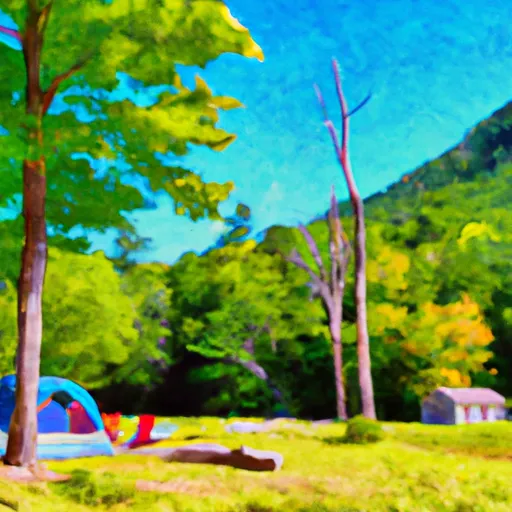
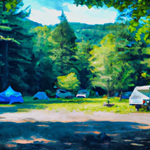
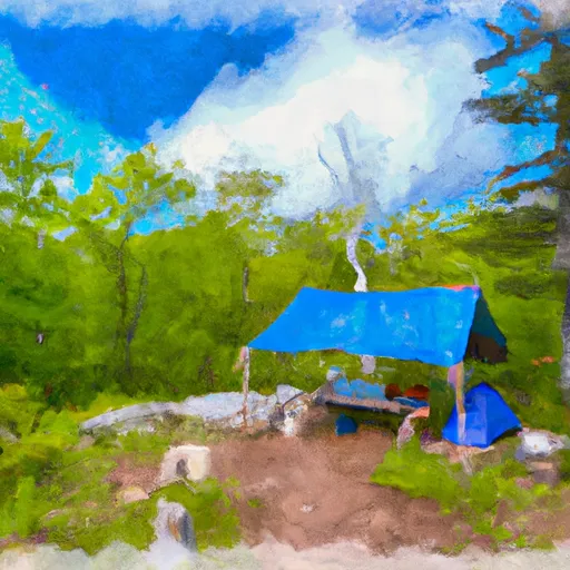
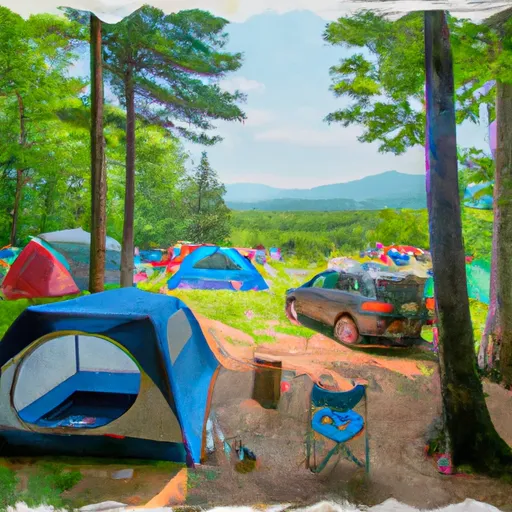
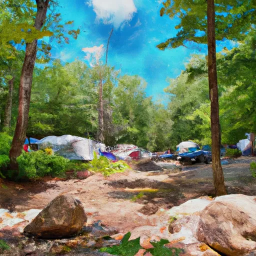
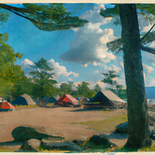
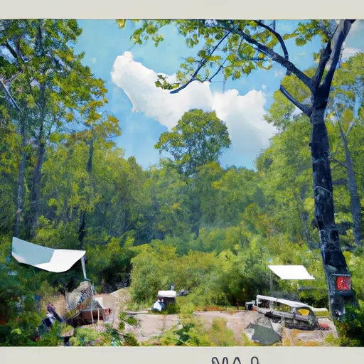
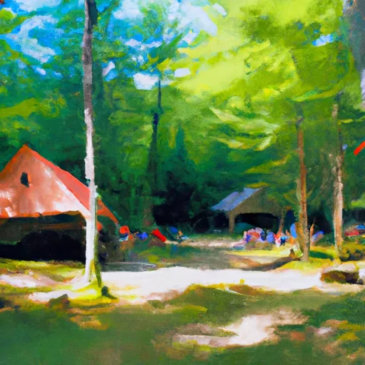
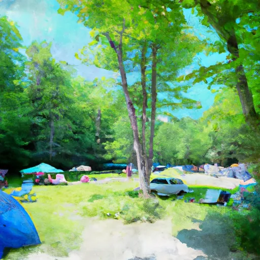
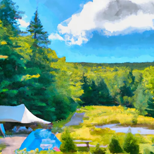
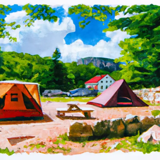
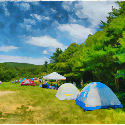
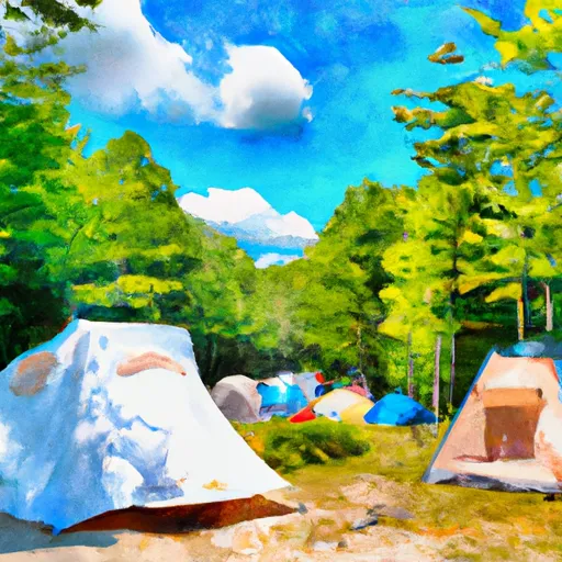
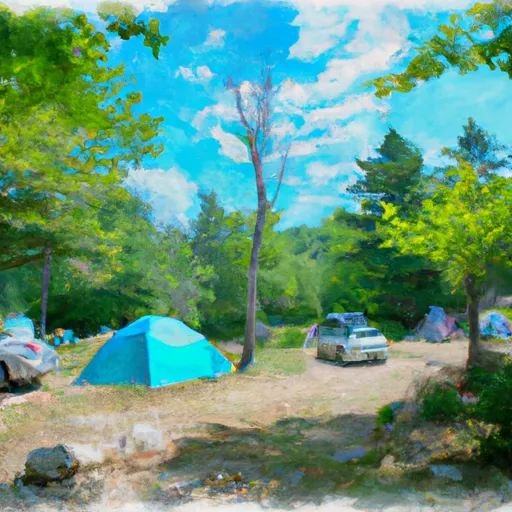
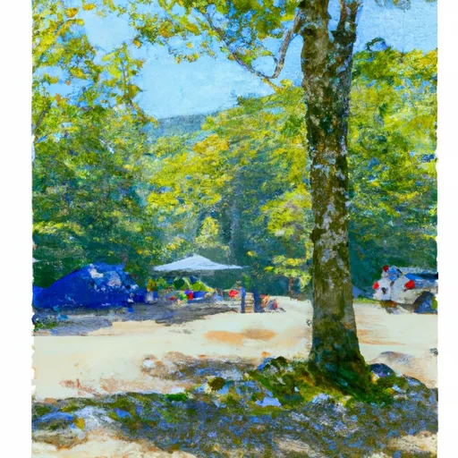
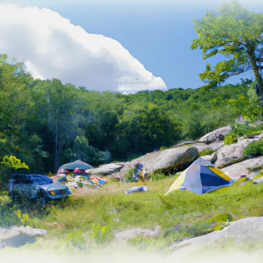
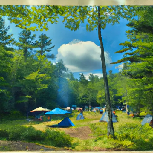
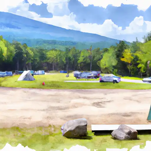
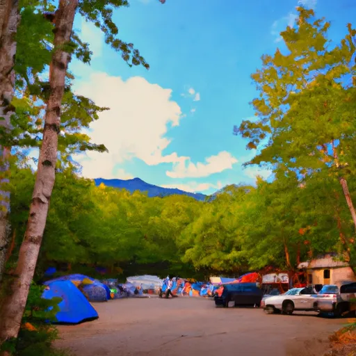
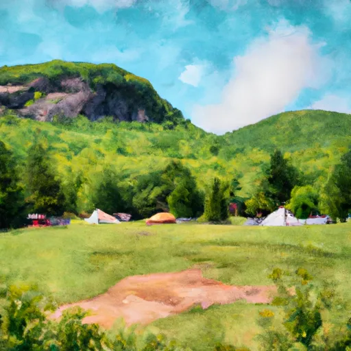
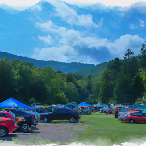
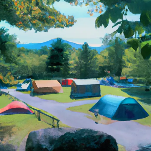
Camping in White Mountain National Forest
Campgrounds inside the park, with today's conditions score.


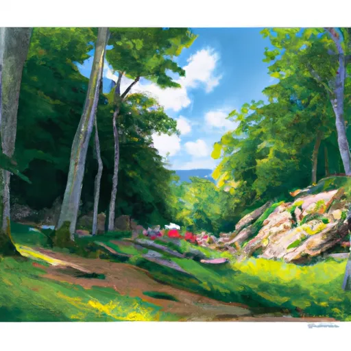
Points of interest in White Mountain National Forest
Landmarks and points of interest inside the park boundary.


Plan your visit down to the hour
Same weather feed Snoflo's iOS app uses -- updated continuously from NOAA / yr.no.
Next 5 days, hour by hour
Temperature line with weather symbols on top, snow + rain accumulation as columns, humidity as a dotted line.
5-day forecast table
Every 3 hours, broken out across temperature, snow, rain, humidity, and wind.
| Time | Condition | Temp (°F) | Snow (in) | Rain (in) | Humidity (%) | Wind (mps) | Wind dir |
|---|---|---|---|---|---|---|---|
| Loading detailed forecast… | |||||||
15-day temperature & precipitation
Daily temperatures, snow, and rain projected over the next two weeks.
Responsible recreation & Leave No Trace
- Know before you go
- Check the operator's site for hours, permit requirements, seasonal closures, and fire restrictions before heading out.
- Stay on trail
- Stick to marked paths to protect vegetation, prevent erosion, and avoid disturbing wildlife habitat.
- Respect wildlife
- Observe from a distance, never feed wildlife, and store food securely if camping is permitted on-site.
- Pack it in, pack it out
- Carry out all trash, food scraps, and gear. Many parks have limited or no trash service.
- Leave what you find
- Don't take rocks, plants, or artifacts. They make the park what it is for the next visitor.
Set push alerts in the Snoflo app
Save White Mountain National Forest as a favorite, set a custom threshold (precipitation, freezing temperatures, fire-restriction days), and the iOS app will push the moment conditions cross.
About White Mountain National Forest
What can I do at White Mountain National Forest?
Most Snoflo-tracked parks support hiking, picnicking, and wildlife viewing. Check the operator's site for activity-specific rules (camping, fishing, paddling, hunting).
How fresh is the weather data?
The hourly forecast updates throughout the day from NOAA / yr.no. Streamflow comes live from USGS streamgauges.
When is the best time to visit?
Use the 15-day temperature & precipitation outlook on this page to plan -- pick a window with comfortable temperatures and low precipitation.
How do I get to White Mountain National Forest?
Tap Directions in the hero above to open driving directions in Google Maps, or Open in map to center the Snoflo interactive map on the park.
Can I get alerts when conditions change?
Yes -- alerts are managed in the Snoflo iOS app. Favorite this park, set a threshold (temperature, precipitation), and you'll get a push the moment it crosses.
Park & land designation reference
A quick legend for the federal and state land categories Snoflo tracks. Each designation comes with different rules around access, recreation, and resource extraction.
- National Park
- Large protected natural areas managed by the federal government to preserve significant landscapes, ecosystems, and cultural resources; recreation is allowed but conservation is the priority.
- State Park
- Public natural or recreational areas managed by a state government, typically smaller than national parks and focused on regional natural features, recreation, and education.
- Local Park
- Community-level parks managed by cities or counties, emphasizing recreation, playgrounds, sports, and green space close to populated areas.
- Wilderness Area
- The highest level of land protection in the U.S.; designated areas where nature is left essentially untouched, with no roads, structures, or motorized motorized access permitted.
- National Recreation Area
- Areas set aside primarily for outdoor recreation (boating, hiking, fishing, often around reservoirs, rivers, or scenic landscapes); may allow more development.
- National Conservation Area (BLM)
- BLM-managed areas with special ecological, cultural, or scientific value; more protection than typical BLM land but less strict than Wilderness Areas.
- State Forest
- State-managed forests focused on habitat, watershed, recreation, and sustainable timber harvest.
- Bureau of Land Management (BLM) Land
- Vast federal lands managed for mixed use -- recreation, grazing, mining, conservation -- with fewer restrictions than national parks or forests.