Summary
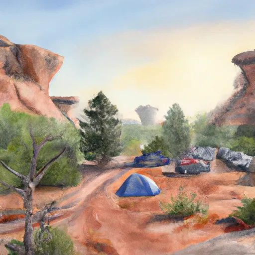
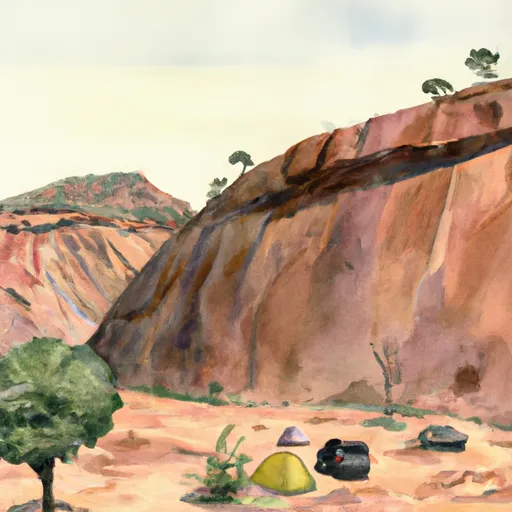
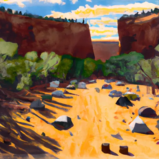
The park is managed jointly by the Navajo Nation and the National Park Service. Visitors can explore the park's stunning red rock canyons, ancient ruins, and unique cultural sites.
One good reason to visit Canyon de Chelly National Monument is to experience the rich history and culture of the Navajo people. The park contains over 700 archaeological sites, including cliff dwellings and rock art that date back to ancient times. Visitors can also learn about the Navajo way of life by visiting the park's cultural centers and attending traditional events and ceremonies.
Some specific points of interest to see in the park include the White House Ruins, Spider Rock, and the Antelope House Ruins. The White House Ruins are a well-preserved cliff dwelling that can be accessed via a moderate hike. Spider Rock is a striking rock formation that towers over the canyon floor. The Antelope House Ruins are located near the park's entrance and offer a glimpse into the area's ancient past.
Interesting facts about Canyon de Chelly National Monument include that it is home to the largest concentration of prehistoric cliff dwellings in North America. The park has been inhabited by various indigenous cultures for over 5,000 years. Additionally, the park is named after the Navajo word "Tseyi," which means "inside the rock."
The best time of year to visit Canyon de Chelly National Monument is during the spring or fall, when temperatures are mild and the crowds are smaller. Summer can be very hot, and winter can bring snow and icy conditions. It is important to note that some parts of the park are only accessible via guided tours or with a permit, so visitors should plan accordingly.
Weather Forecast
Park & Land Designation Reference
Large protected natural areas managed by the federal government to preserve significant landscapes, ecosystems, and cultural resources; recreation is allowed but conservation is the priority.
State Park
Public natural or recreational areas managed by a state government, typically smaller than national parks and focused on regional natural features, recreation, and education.
Local Park
Community-level parks managed by cities or counties, emphasizing recreation, playgrounds, sports, and green space close to populated areas.
Wilderness Area
The highest level of land protection in the U.S.; designated areas where nature is left essentially untouched, with no roads, structures, or motorized access permitted.
National Recreation Area
Areas set aside primarily for outdoor recreation (boating, hiking, fishing), often around reservoirs, rivers, or scenic landscapes; may allow more development.
National Conservation Area (BLM)
BLM-managed areas with special ecological, cultural, or scientific value; more protection than typical BLM land but less strict than Wilderness Areas.
State Forest
State-managed forests focused on habitat, watershed, recreation, and sustainable timber harvest.
National Forest
Federally managed lands focused on multiple use—recreation, wildlife habitat, watershed protection, and resource extraction (like timber)—unlike the stricter protections of national parks.
Wilderness
A protected area set aside to conserve specific resources—such as wildlife, habitats, or scientific features—with regulations varying widely depending on the managing agency and purpose.
Bureau of Land Management (BLM) Land
Vast federal lands managed for mixed use—recreation, grazing, mining, conservation—with fewer restrictions than national parks or forests.
Related References
Area Campgrounds
| Location | Reservations | Toilets |
|---|---|---|
 Spider Rock Campground
|
||
 Spider Rock Campground (private)
|
||
 Free Campground in Canyon de Chelly NM
|
