Summary
Here is a summary of the area, including reasons to visit, specific points of interest, interesting facts, and the best time of year to visit, verified across multiple independent sources.
Reasons to Visit:
1. Breathtaking Scenery: Wilderness Latir Peak is characterized by its picturesque landscapes, including alpine forests, meadows, lakes, and towering peaks. The area offers stunning views that are sure to captivate nature lovers and photographers alike.
2. Outdoor Activities: The wilderness provides many opportunities for outdoor activities, such as hiking, backpacking, camping, fishing, and wildlife watching. With over 20 miles of trails, visitors can explore the wilderness and immerse themselves in its natural beauty.
3. Serenity and Solitude: Wilderness Latir Peak is renowned for its tranquility and seclusion. With its remote location and limited access, it offers visitors a chance to escape the crowds and enjoy a peaceful retreat in nature.
Points of Interest:
1. Latir Peak: The namesake peak of the wilderness reaches an elevation of 12,708 feet, offering a challenging yet rewarding hike for experienced mountaineers.
2. Latir Lakes: This area features a chain of stunning alpine lakes, including Latir Lake, Spirit Lake, and others. Visitors can camp nearby, fish for trout, or simply enjoy the serene atmosphere.
3. Wildlife: The wilderness is home to a variety of wildlife, including elk, mule deer, mountain lions, black bears, and golden eagles. Wildlife enthusiasts will delight in observing these creatures in their natural habitat.
4. Fall Colors: During the autumn season, the wilderness transforms into a mesmerizing display of vibrant colors, as the aspen and maple trees turn shades of gold, orange, and red.
Interesting Facts:
1. Wilderness Designation: Wilderness Latir Peak was designated as a wilderness area in 1980 and is managed by the U.S. Forest Service. The designation ensures the preservation of its natural character and prohibits mechanized vehicles and equipment.
2. Volcanic Origins: The wilderness is located within the Latir Volcanic Field, an extinct volcanic area that formed millions of years ago. The remnants of volcanic activity can still be seen today, adding to the unique geological features of the region.
Best Time to Visit:
The best time to visit Wilderness Latir Peak is generally from June to September when the weather is milder and the trails are more accessible. However, it's important to note that weather conditions can vary, and snow may persist until early summer at higher elevations. Fall (September to October) is also a fantastic time to visit due to the vibrant foliage. It is advisable to check weather conditions and consult with local authorities or visitor centers for up-to-date information before planning a trip.
Sources:
1. "Wilderness Connect – Latir Peak Wilderness." Wilderness.net, wilderness.net/visit-wilderness/?ID=308.
2. "Latir Peak Wilderness." U.S. Forest Service, www.fs.usda.gov/recarea/carson/recarea/?recid=44044.
3. "Latir Peak." SummitPost, www.summitpost.org/latir-peak/150738.
4. "Latir Volcanic Field." New Mexico Bureau of Geology & Mineral Resources, geoinfo.nmt.edu/staff/dunbar/volcanoes/latir_home.html.
°F
°F
mph
Wind
%
Humidity
15-Day Weather Outlook
5-Day Hourly Forecast Detail
Park & Land Designation Reference
Large protected natural areas managed by the federal government to preserve significant landscapes, ecosystems, and cultural resources; recreation is allowed but conservation is the priority.
State Park
Public natural or recreational areas managed by a state government, typically smaller than national parks and focused on regional natural features, recreation, and education.
Local Park
Community-level parks managed by cities or counties, emphasizing recreation, playgrounds, sports, and green space close to populated areas.
Wilderness Area
The highest level of land protection in the U.S.; designated areas where nature is left essentially untouched, with no roads, structures, or motorized access permitted.
National Recreation Area
Areas set aside primarily for outdoor recreation (boating, hiking, fishing), often around reservoirs, rivers, or scenic landscapes; may allow more development.
National Conservation Area (BLM)
BLM-managed areas with special ecological, cultural, or scientific value; more protection than typical BLM land but less strict than Wilderness Areas.
State Forest
State-managed forests focused on habitat, watershed, recreation, and sustainable timber harvest.
National Forest
Federally managed lands focused on multiple use—recreation, wildlife habitat, watershed protection, and resource extraction (like timber)—unlike the stricter protections of national parks.
Wilderness
A protected area set aside to conserve specific resources—such as wildlife, habitats, or scientific features—with regulations varying widely depending on the managing agency and purpose.
Bureau of Land Management (BLM) Land
Vast federal lands managed for mixed use—recreation, grazing, mining, conservation—with fewer restrictions than national parks or forests.
Related References
Area Campgrounds
| Location | Reservations | Toilets |
|---|---|---|
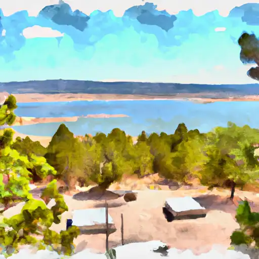 Cabresto Lake
|
||
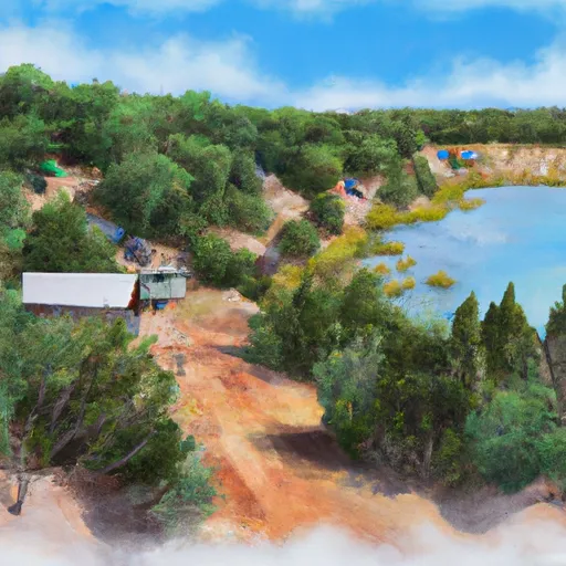 Cabresto Lake Campground
|
||
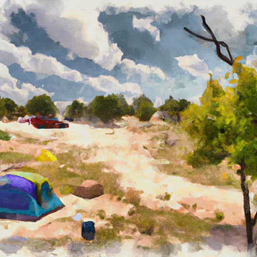 La Bobita Campground
|
||
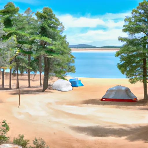 Fawn Lakes Campground
|
||
 Fawn Lakes
|
||
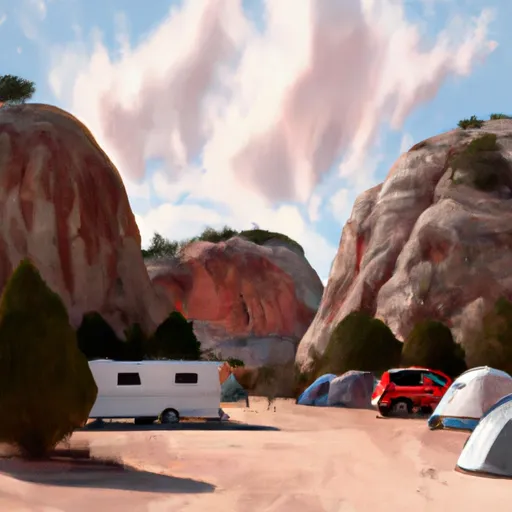 Elephant Rock Campground
|
