Dar State Park
Leave a RatingLast Updated: February 12, 2026
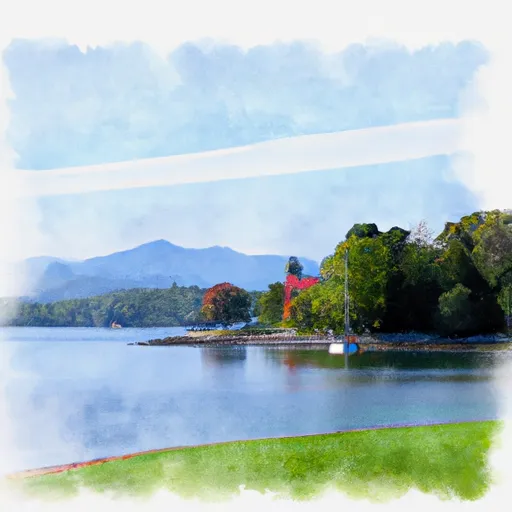
Dar State Park is located in the northeastern part of the state of New York.
Summary
It covers an area of 122 acres and is situated along the eastern shore of Lake Champlain. The park is named after William W. and Mary A. Dar, who donated a portion of the land to the state in 1929.
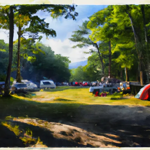
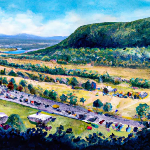
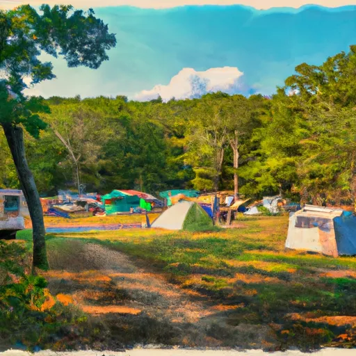
There are several good reasons to visit Dar State Park, including its scenic beauty and outdoor recreational activities. The park offers a variety of hiking trails, picnic areas, and fishing spots. Visitors can also enjoy swimming, boating, and camping.
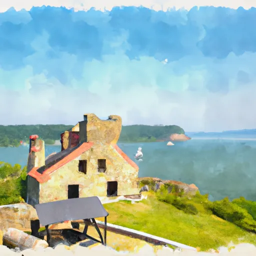
One of the main points of interest at Dar State Park is the historic Fort Ticonderoga, which is located nearby. The fort played a significant role in the American Revolutionary War and is now a popular tourist attraction.
Another interesting feature of the park is the Champlain Memorial Lighthouse, which was built in 1912. The lighthouse offers stunning views of the lake and surrounding countryside.
Dar State Park is also known for its diverse wildlife, including a variety of bird species, deer, and other mammals. Visitors can observe these animals in their natural habitats throughout the park.
The best time of year to visit Dar State Park is during the summer months when the weather is warm and sunny. However, the park is open year-round and offers activities and events throughout the year.
Overall, Dar State Park is a beautiful and historic destination that offers something for everyone. Whether you're interested in outdoor recreation, history, or wildlife, this park is definitely worth a visit.
°F
°F
mph
Wind
%
Humidity
15-Day Weather Outlook
5-Day Hourly Forecast Detail
Park & Land Designation Reference
Large protected natural areas managed by the federal government to preserve significant landscapes, ecosystems, and cultural resources; recreation is allowed but conservation is the priority.
State Park
Public natural or recreational areas managed by a state government, typically smaller than national parks and focused on regional natural features, recreation, and education.
Local Park
Community-level parks managed by cities or counties, emphasizing recreation, playgrounds, sports, and green space close to populated areas.
Wilderness Area
The highest level of land protection in the U.S.; designated areas where nature is left essentially untouched, with no roads, structures, or motorized access permitted.
National Recreation Area
Areas set aside primarily for outdoor recreation (boating, hiking, fishing), often around reservoirs, rivers, or scenic landscapes; may allow more development.
National Conservation Area (BLM)
BLM-managed areas with special ecological, cultural, or scientific value; more protection than typical BLM land but less strict than Wilderness Areas.
State Forest
State-managed forests focused on habitat, watershed, recreation, and sustainable timber harvest.
National Forest
Federally managed lands focused on multiple use—recreation, wildlife habitat, watershed protection, and resource extraction (like timber)—unlike the stricter protections of national parks.
Wilderness
A protected area set aside to conserve specific resources—such as wildlife, habitats, or scientific features—with regulations varying widely depending on the managing agency and purpose.
Bureau of Land Management (BLM) Land
Vast federal lands managed for mixed use—recreation, grazing, mining, conservation—with fewer restrictions than national parks or forests.
Related References
Area Campgrounds
| Location | Reservations | Toilets |
|---|---|---|
 D.A.R State Park
|
||
 DAR State Park
|
||
 Crown Point - DEC
|
||
 Port Henry Village Campground
|
||
 Bulwagga Bay Campground
|
||
 Monitor Bay Campground
|

 Chimney Point State Historic Site
 Button Bay State Park
 Essex County Fairgrounds
 Weybridge Cave Natural Area State Park